Elevation: 9,552 ft
Prominence: 1,132
This peak is not in the book. Livingston Douglas added new routes, access starting point, and photos. Updated November 2024
This peak anchors the south end of the Donkey Hills. It rises precipitously above Dry Creek. It is only three feet shorter than Donkey Benchmark, the high point of the Donkey Hills. USGS Red Hills
Peak 9552 anchors the south end if the Donkey Hills. It is three feet shorter than Donkey Benchmark.
Access
The best access to the southern Donkey Hills is from the Dry Creek Road [(A)(6.1) on Page 290]. Follow the Dry Creek Road west to its junction with the Burnt Creek/Long Creek Road (partially signed in 2020). Turn north onto the Burnt Creek/Long Creek, cross Dry Creek and almost immediately turn right/east onto a 2-track road. Follow the 2-track east to a junction with a 4WD road/ATV track that climbs up the unnamed drainage that descends from the Donkey Hills crest to Dry Creek. See map below. This road is one of the most difficult routes to drive in the area. The higher you drive, the more difficult the terrain. Full sized 4WDs will find it too narrow in spots.
Northwest Ridge, Class 2
The most efficient route to this peak is via the connecting ridge with Peak 9375. Climb Peak 9375 and then traverse the connecting ridge to the summit.
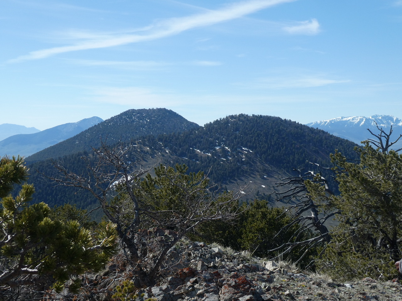
Peak 9375 (right) and Peak 9552 (left) as viewed from the north
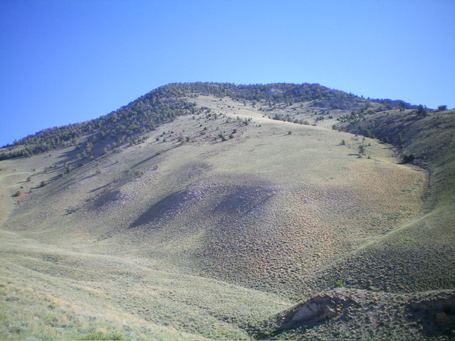
Northwest Ridge and South Shoulder by Livingston Douglas

Peak 9552 and its forested northwest ridge (coming at the camera). This was my ascent route. Livingston Douglas Photo
Access
Same as for Peak 9375. This is the second leg of a 2-peak adventure that includes Peak 9375 and Peak 9552. It covers 6.0 miles with 3,350 feet of elevation gain round trip.
Northwest Ridge, Class 2
The Climb
From the 8,609-foot connecting saddle with Peak 9375, bushwhack southeast up through a decent pine forest with some downed trees to work around. The forest scrub is minimal but there is ridge rock (embedded strata and boulders) midway up and high up, but nothing serious. The summit of Peak 9552 is open, not forested as the USGS topo map suggests. It has a massive 7-foot summit cairn.
South Shoulder, Class 2
The Descent
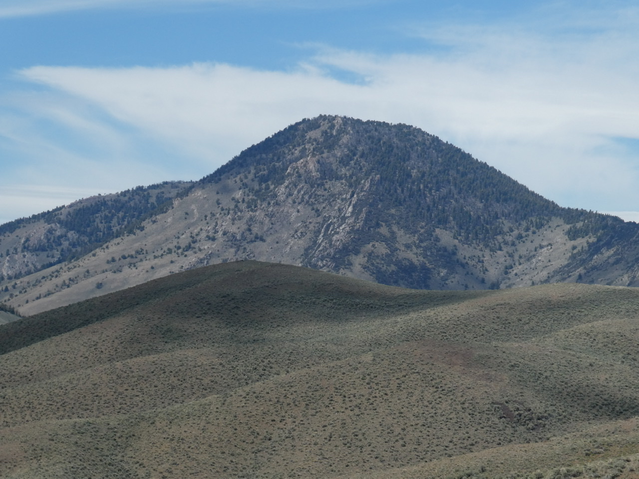
From the summit, descend south through a mix of pine forest (the downed timber is a bit of a headache) and rocky outcrops that must be downclimbed or skirted. The south side of Peak 9552 is pretty steep initially with underlying loose scree/gravel in spots. Once you emerge from the forest, the downed timber and boulders/ground rock end. Descend south down a steep shoulder with some loose scree/gravel and short scrub. The shoulder ends in a prominent dry gully that heads left-ish/southeast. Cross to the right/west side of this gully to reach an open shoulder that heads south to the ATV/Jeep Road just above the road junction and your parked vehicle.
Peak 9552 and its south shoulder (dead center and left of center). This was my descent route. Livingston Douglas Photo

The massive 7-foot cairn atop Peak 9552. Livingston Douglas Photo
Additional Resources
Regions: Donkey Hills->EASTERN IDAHO->Lost River Range
Mountain Range: Lost River Range
Longitude: -113.49049 Latitude: 44.21209