Elevation: 9,593 ft
Prominence: 333

This peak is not in the book. Published December 2024
Peak 9593 sits at the headwaters of both Eightmile Creek and East Fork Mayfield Creek. It is most easily climbed in conjunction with Peak 9758 to its west from Loon Creek Road. USGS Custer
Access
Same as for Peak 9758. This is the second leg of a 3-peak adventure that includes Peak 9758, Peak 9593, and Peak 9785. It covers 7.5 miles with 4,125 feet of elevation gain round trip.
West Face, Class 2
The Climb
From the 8,980-foot connecting saddle with Peak 9758, bushwhack east up through a steep-ish pine forest with a white gravel base. Work around some downed timber. High up, pick up a ridge heading left/northeast and follow it to the small, ridge crest summit of Peak 9593. There were no signs of previous ascent, so I built a decent summit cairn atop the high point.

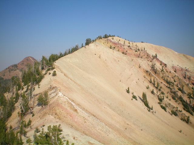
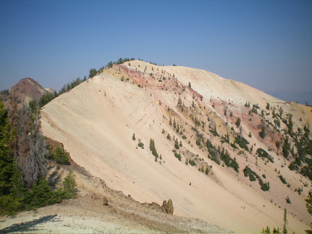
A closer look at the east ridge (left of center) of Peak 9593. This was my descent route. Livingston Douglas Photo
East Ridge, Class 2
The Descent
From the summit, you get a good look at the weaving, undulating connecting ridge to Peak 9785. Descend east down the [sometimes-narrow] ridge crest in a mix of firm gravel, rocky ridge outcrops, sections of talus/scree, and ridge trees/blowdown. Climb up over a ridge point (9440+) then descend southeast to the low point between Peak 9593 and Peak 9785. This is the 9,260-foot connecting saddle between the two peaks. It concludes the second leg of today’s 3-peak journey. Peak 9785 is up next.
Additional Resources
Regions: Eastern Salmon River Mountains->Salmon River Mountains->Southeast Corner Peaks->WESTERN IDAHO
Mountain Range: Eastern Salmon River Mountains
Longitude: -114.7068 Latitude: 44.4780

