Elevation: 9,597 ft
Prominence: 617

This peak is not in the book. Published November 2024
Peak 9597 is the middle of three peaks (Peak 9287, Peak 9597, and Peak 9513) that sit on a high ridgeline that separates Burnt Creek from the Pahsimeroi River in the Lost River Range. It is most easily climbed in combination with Peak 9287 to its north from Burnt Creek Road. USGS Burnt Creek
Access
Same as for Peak 9287. This is the second leg of a 2-peak adventure that includes Peak 9287 and Peak 9597. It covers 4.5 miles with 2,325 feet of elevation gain round trip.
North Ridge, Class 2
The Climb
From the 8,860-foot connecting saddle with Peak 9287, scramble south then south-southwest up steep (but easy) short grass/scrub to a sharp right/southwest bend in the ridge. Continue up a mix of shale and grass/scrub to the cairned summit of Peak 9597.

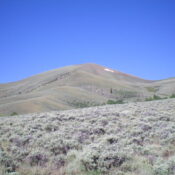
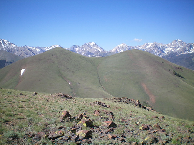
Double-humped Peak 9597 as viewed from Peak 9287 to its north. The left hump is the summit. Livingston Douglas Photo
Northeast Ridge, Class 2
The Descent
From the summit, descend northeast down an open, easy ridge of shale and grass/scrub. The ridge bends east then northeast and leads all the way down to near the convergence of two feeder streams. Stay in the middle of these two drainages on a ridge. Lower down, stay just right/south of the left/north stream and its willows. Briefly follow the north stream and quickly find the remains of an old cabin. Continue another 150 yards or so downstream in easy field grass to reach the end of the spur road and your parked vehicle.

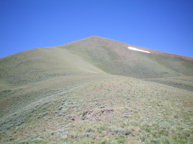
Looking up the northeast ridge of Peak 9597. The summit hump is not yet visible. This was my descent route. Livingston Douglas Photo

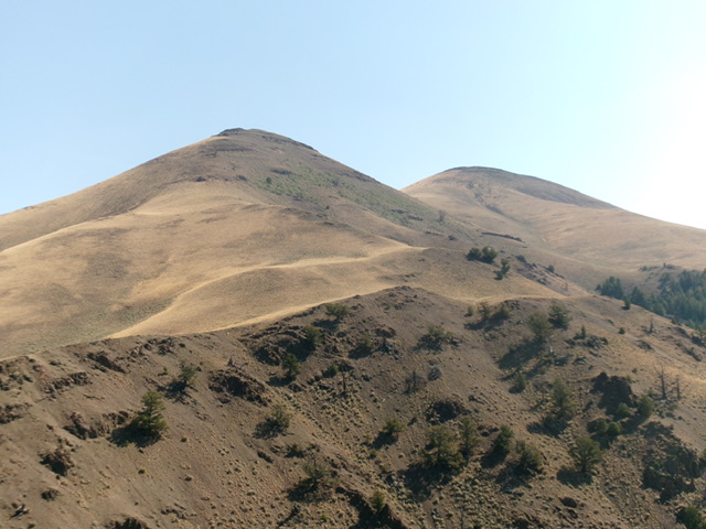
Peak 9597 (right of center) and Point 9482 (left of center) as viewed from Peak 8340 to the west. Livingston Douglas Photo
Additional Resources
Regions: EASTERN IDAHO->Lost River Range
Mountain Range: Lost River Range
Longitude: -113.6767 Latitude: 44.1653
