Elevation: 9,600 ft
Prominence: 321

This peak is not in the book. The elevation is based on LiDAR measurements. The map elevation is 9,602 feet. Published December 2024
Peak 9600 is located on a side ridge that separates Elk Creek from Prospect Creek in the White Cloud Mountains. It can be directly climbed from the Upper O’Brien Campground along ID-75 east of Stanley. Or it can be climbed in combination with nearby Prospect Point (9,877 feet) from the Rough Creek Trailhead. USGS Robinson Bar

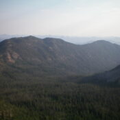
Peak 9600 as viewed from the southwest. Much of the rugged connecting ridge with Prospect Point is visible from here. Livingston Douglas Photo
Access
Same as for Prospect Point (9,877 feet). This is the second leg of a 2-peak adventure that includes Prospect Point and Peak 9600. It covers 8.5 miles with 3,600 feet of elevation gain round trip.
Southwest Ridge, Class 3
The Climb
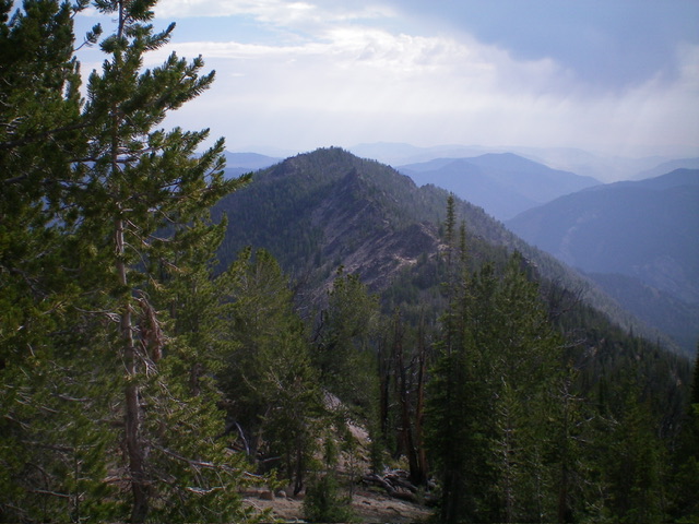
From the 9,260-foot connecting saddle with Prospect Point, scramble northeast up a rocky, up-and-down, pine and rock ridge past at least two ridge blocks to reach the major ridge tower that must be bypassed (Point 9480+). Skirt its right/southeast side, staying pretty high up to avoid ridge cliffs/aretes below. You can also skirt its left/northwest side on angled boulders/talus. I encountered some pines on my bypass route but, overall, it went pretty well.
Once past this massive tower, scramble up more endless ridge rock/towers amidst ridge pines and deadfall. Skirt the left/northeast (then north) side of the crest just below the towers on gravel/sand amidst scattered pines to reach the two potential high points of Peak 9600. The potential high point is a tower/outcrop is larger and easier to climb but is probably slightly lower. The second high point is a boulder with a minimalist cairn atop it and is probably the high point. The first rocky outcrop/tower has pines nearby but the second high point is in open terrain. Stand atop both potential high points “just to be sure.”

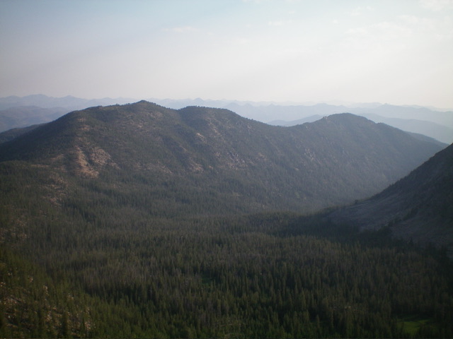
Prospect Point (left of center), Peak 9600 (well right of center), and their connecting ridge as viewed from Lookout Mountain to the south. Livingston Douglas Photo

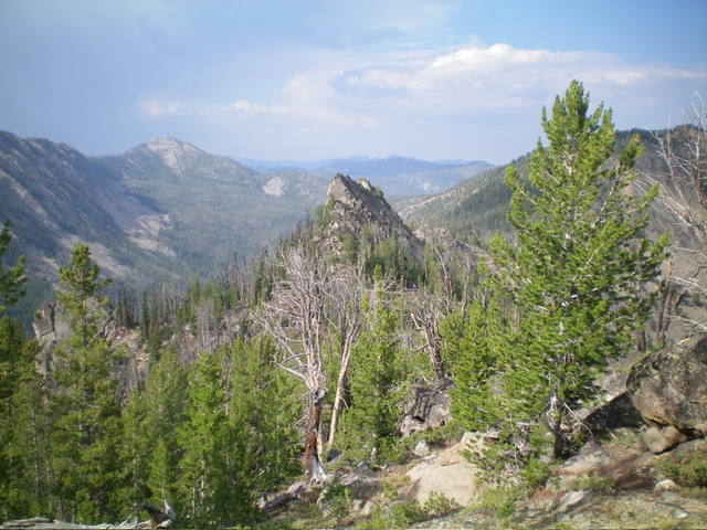
The ridge tower on the southwest ridge. This is the most difficult obstruction on the southwest ridge which was my ascent (then descent) route. Livingston Douglas Photo
From the summit, return down the southwest ridge then up over Prospect Point. Descend the west ridge of Prospect Point down to the marshy meadow. Cross the marshy meadow and then descend a shoulder down to the Rough Creek Trailhead and your parked vehicle.
Additional Resources
Regions: EASTERN IDAHO->White Cloud Mountains
Mountain Range: White Cloud Mountains
Longitude: -114.73376 Latitude: 44.22742