Elevation: 9,673 ft
Prominence: 543

This peak is not in the book. The map elevation is 9,654 feet. Lists of John identifies this peak which sits above Rough Lake as simply “Rough” with no information as to who proposed the name without the word “Peak.” I added “Peak” to the name. Published December 2024
Rough Peak (LiDAR elevation 9,673 feet) sits on a high ridgeline that separates Rough Lake (and the Rough Creek drainage) from Casino Lakes (and the Big Casino Creek drainage). It is most easily climbed from the Rough Creek Trail with a bushwhack up the east ridge and east face. USGS Casino Lakes

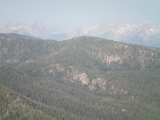
Rough Peak (dead center in mid-ground) and its east ridge (left of center) as viewed from Lookout Mountain to its northeast. The east ridge was my ascent route. Livingston Douglas Photo
Access
Rough Creek Road/FSR-626 and Rough Creek Trail/FST-647 [(A)(4)(a) on Pages 229-230 of the book]. This is the first leg of a 2-peak adventure that includes Rough Peak and Peak 9334. It covers 10.8 miles with 2,575 feet of elevation gain round trip.
Map Errors
The USGS topo map misplaces the first crossing of Rough Creek. The actual crossing is on a nice footbridge and is about 0.2 miles upstream from the map’s placement. The map also fails to show the footbridge across Rough Creek here. The Adventure Maps trail segment mileage figures appear to be slightly understated by about 0.1-0.2 miles for each segment.
East Ridge/East Face, Class 2
The Climb
From the Rough Creek trailhead (7,405 feet), hike 2.8 miles south up Rough Creek Trail/FST-647 to a signed trail junction. Go right/southwest to stay on FST-647. Hike another 0.9 miles southwest up to a crossing of the east ridge of Peak 9673 at 9,060 feet. FST-647 ends here. There is a signed trail junction with FST-616 here. Go right/southwest on FST-616 briefly and follow it for about 70 yards and down about five vertical feet to where it leaves the ridge to descend southwest down the south side of the ridge.
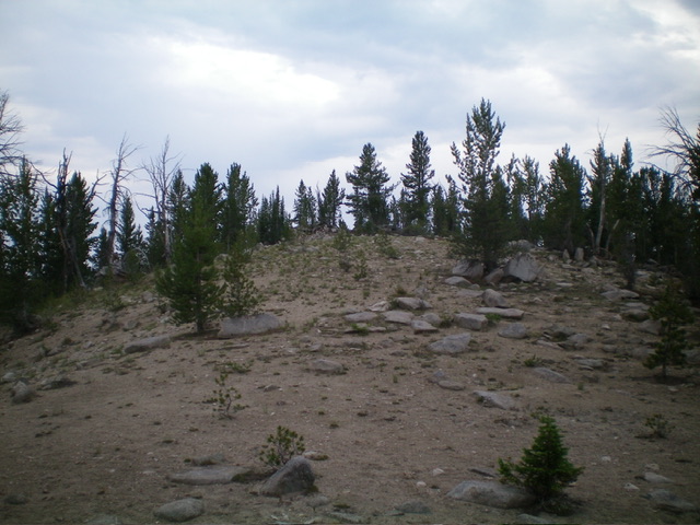
Bushwhack west through an easy, gapped pine forest on a reasonably well-defined ridge crest. There are some ridge blowdown and boulders to navigate. Higher up, the ridge bends left-ish/west-southwest then right-ish/west to reach the base of the steeper, rockier, and thicker pine forest of the east face of Rough Peak. Scramble west directly up the thick, rock-and-forest face (with blowdown to navigate around) to reach the high ridge crest about 200 yards north of the summit hump. Head left/south and scramble up the gentle, semi-open ridge crest to the summit boulders. There is no summit cairn.
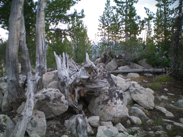
Rough Peak has two sets of boulders (about 20 feet apart) to stand upon. They are of similar height. I think that the northeast boulder is probably the high point. The surrounding pines prevent good views but you can see down both the north and south ridges for a ways. From the summit, return down the east face to find the rounded east ridge. Cruise east then east-northeast then east-southeast to return to FST-616 at its ridge crossing. This is the low point of the connecting saddle between Rough Peak and Peak 9334. This concludes the first leg of today’s 2-peak journey. Peak 9334 is up next.
Additional Resources
Regions: EASTERN IDAHO->White Cloud Mountains
Mountain Range: White Cloud Mountains
Longitude: -114.80862 Latitude: 44.18002

