Elevation: 9,690 ft
Prominence: 750

This peak is not in the book. Published December 2024
Peak 9690 is the high point on a north-south ridgeline that is located on the west side of Loon Creek Summit in the Eastern Salmon River Mountains. The summit is due east of Mount Jordan (10,063 feet). This ridgeline separates China Creek from West Fork Mayfield Creek. Peak 9690 is most easily climbed directly from Loon Creek Summit. USGS Mount Jordan
Access
Same as for Peak 9456. This is the second leg of a 2-peak adventure that includes Peak 9456 and Peak 9690. It covers 3.5 miles with 1,625 feet of elevation gain round trip.
Northeast Ridge, Class 2
The Climb
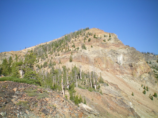
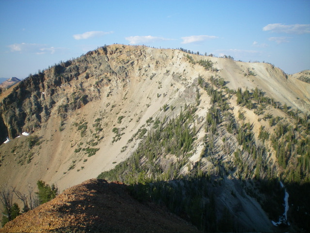
From the 9,100-foot connecting saddle with Peak 9456, scramble southwest up a narrow ridge crest of pines and gravel, with some embedded talus and rocky outcrops. Higher up, move right/west onto another pine-covered ridge. Follow this second forested ridge crest all the way to the high summit ridge. This high ridge heads left/southeast and is an easy mix of scattered pines and flatter gravel. Continue up over a minor ridge hump to head east to the cairned high point of Peak 9690.
East Ridge, Class 3
The Descent
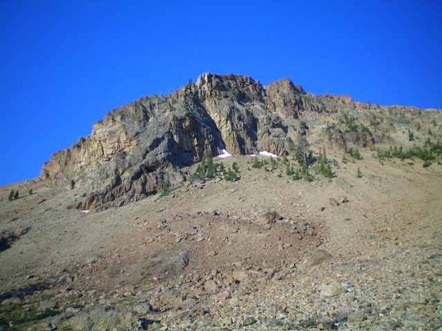
From the summit, descend east on steep-ish ridge rock that is initially stable. Continue down a series of rocky ridge outcrops with much looser scree/gravel mixed in. Downclimb some minor breaks/notches in ridge cliff bands lower down (Class 3). Downclimb a steep headwall from 9,200 feet down to 9,000 feet (Class 3) to reach flatter terrain below. Continue east then northeast down to the right/east side of the largest pond. There is one final Class 3 section (brief) to downclimb to reach the pond.
The toe of the east ridge is an easy forested section and gives quick access to the largest pond. Walk along the forested southeast side of the beautiful pond and cross a small inlet stream. From the northeast corner of the pond, bushwhack east over a forested ridge/knoll and continue a forested bushwhack east to find the dried, rocky creek bed. Descend the rocky creek bed northeast for a short distance (leave it where it bends left/north) then bushwhack northeast through a patch of pine forest to reach the road bend and your parked vehicle.

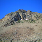
Looking up the rocky east ridge (center and left of center) from near its base. This was my descent route. Livingston Douglas Photo
Additional Resources
Regions: Eastern Salmon River Mountains->Salmon River Mountains->Southeast Corner Peaks->WESTERN IDAHO
Mountain Range: Eastern Salmon River Mountains
First Ascent Information:
- Other First Ascent: East Ridge—Descent
- Year: 2024
- Season: Summer
- Party: Livingston Douglas
Longitude: -114.7523 Latitude: 44.4693

