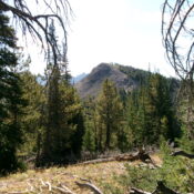
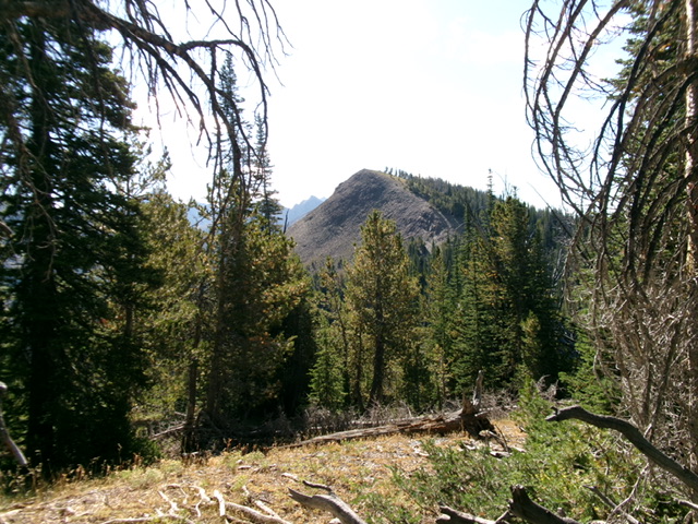
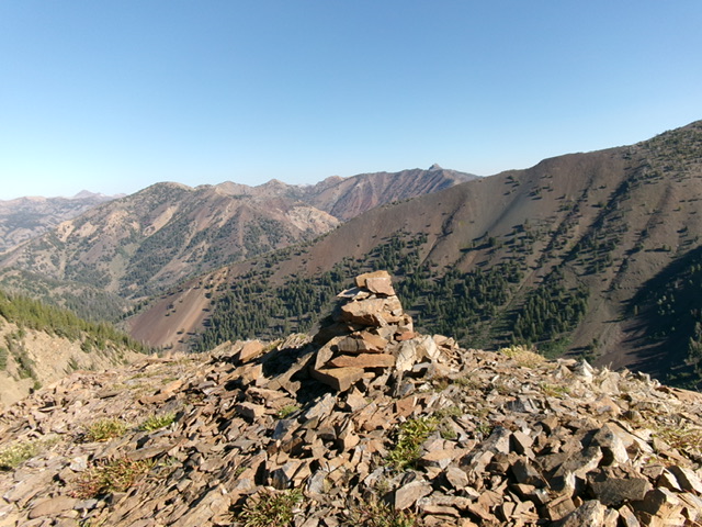
Elevation: 9,740 ft
Prominence: 400

This peak is not in the book. Published November 2024
Peak 9740 is a ranked bump on the lengthy northwest ridge of Wilson Creek Peak (10,419 feet) in the Pioneer Mountains. This high ridgeline separates Summit Creek from Trail Creek. Peak 9740 is most easily climbed from the Summit Creek Trail to its northeast. USGS Phi Kappa Mountain
Access
The parking area atop Trail Creek Summit along Trail Creek Road. This parking area is at the trailhead for the Summit Creek Trail/FST-053 [(A)(3)(a) on Page 258 of the Book].
Northeast Face, Class 2+
The Climb
From the Summit Creek Trailhead, hike east-southeast then southeast up the well-beaten Summit Creek Trail for about 2-1/4 miles to a clearing on a shoulder (of sorts). Leave the trail here and bushwhack diagonally right/south upward to reach a dry gully that used to be non-forested and open (as per the USGS topo map). Head right/southwest up this semi-cleared area (initially). This gully quickly becomes a nightmarish bushwhack in a thick, young pine forest. Find an on-and-off game trail in this mess and bash up through the steep-ish, thick terrain.
Higher up, move right-ish/west to reach a more mature pine forest and a shoulder. This shoulder opens up and is much easier than the punishing bushwhack up through the thick, young pines. As you gain elevation, the pines disappear and the shoulder steepens. The terrain becomes a mix of loose, unstable scree and minor embedded rocky outcrops. Emerge on the ridge-crest summit of Peak 9740 and find a large cairn atop the high point. Stand on a nearby area to the southeast of similar height “just to be sure.”
Northwest Ridge, Class 2
The Descent
From the summit, descend the forested, meandering, up-and-down northwest ridge directly back to Trail Creek Summit. This is, without a doubt, one of the most convoluted, difficult-to-follow, ridges that I have ever been on. I lost the ridge crest at least two or three times but did eventually regain it and had a splendid finish down to the Summit Creek Trailhead. The terrain on the ridge is mostly thick pine forest, so visibility is nil.
There are occasional patches of open grass/scrub. The blowdown is not too bad but there are some thick sections of forest/blowdown to work through. Be careful to not get sucked down one of the many shoulders/ribs that lead down to either Summit Creek or Trail Creek. The two most confusing areas on the ridge. The first is at Point 9555 where the ridge splits. Head northwest then north-northwest down through thick pine forest to reach an open ridge area at about 8,860 feet OR follow a ridge northwest down a gentler slope in pine forest then curl right/northeast and cross a gully to reach the same open ridge area (which was my choice, for better or worse).
The other problem area is at about 8,500 feet, where the ridge forks. The correct ridge crest goes hard left/west here and descends to a forested saddle at 8,380 feet. From that saddle, climb west to Point 8507. From Point 8507, follow the ridge northwest until it becomes too rocky. Follow the right/northeast side of the ridge crest down and find an old road/trail that leads down to the Summit Creek Trail just above the trailhead. Follow the trail a short distance back to the trailhead. The northwest ridge was not the fun descent that I anticipated it to be.
Additional Resources
Regions: EASTERN IDAHO->Pioneer Mountains
Mountain Range: Pioneer Mountains
Longitude: -114.2363 Latitude: 43.8084

