Elevation: 9,780 ft
Prominence: 480
This peak is not in the book. Published November 2022
Peak 9780 sits on a long north-south ridgeline that separates Blaine County from Camas County. It is probably most easily climbed via a ridge traverse from Baker Lake to its south. Surprisingly, there is no climber’s trail from Baker Lake up to the prominent north-south ridge crest to help in this effort. USGS Baker Peak
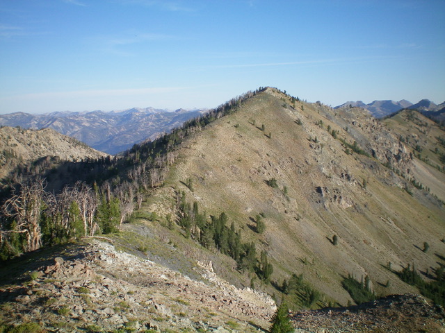
Peak 9780 (just right of center) and its south ridge (left of center, coming at the camera) as viewed from Peak 9745 to its south. The south ridge was my ascent (then descent) route. Livingston Douglas Photo
Access
Same as for Peak 9745. This is the second leg of a 3-peak adventure that includes Peak 9745, Peak 9780, and Backdrop Peak (10,099 feet).
South Ridge, Class 2
The Climb
From the connecting saddle with Peak 9745 (Saddle 9411), follow the ridgeline north in easy scrub and shale to reach the rocky, ridge crest summit hump of Peak 9780. The south summit hump is visually a little higher than the north summit hump. The south summit has a decent cairn atop it.
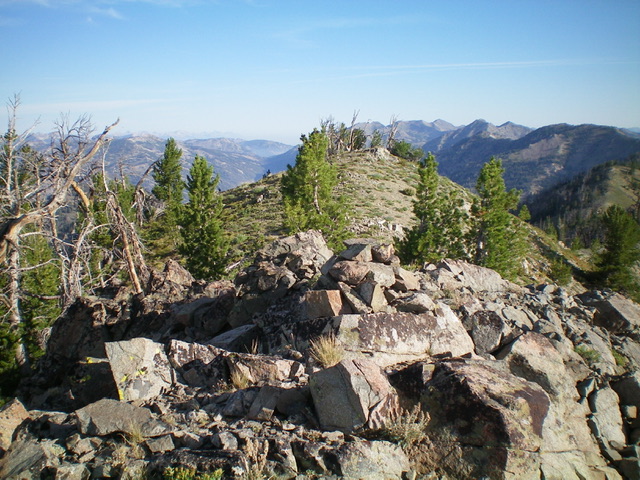
The summit cairn atop Peak 9780, looking north along the ridge crest. Livingston Douglas Photo
Additional Resources
Regions: Smoky Mountains->WESTERN IDAHO
Mountain Range: Smoky Mountains
Longitude: -114.68179 Latitude: 43.70779