Elevation: 9,820 ft
Prominence: 647

This peak is not in the book. The name was proposed by Dave Pahlas. Published December 2024
Peak 9820 is a ranked summit that sits on the north ridge of WCP-1 (10,358 feet). It is most easily climbed from the Last Chance Creek drainage off Slate Creek Road. It is not an easy bushwhack or climb. USGS Robinson Bar
Access
From ID-75, turn west onto FSR-454 (near Slate Creek) at a bridge crossing of the Salmon River. Drive 0.7 miles west to an unsigned road junction. Go left/south to get on [unsigned] FSR-666/Slate Creek Road. From this junction, drive 4.8 miles southwest then south up Slate Creek Road to an unsigned 4-way junction. Go right/west here onto a spur road that leads a short distance up to the mouth of the Last Chance Creek drainage. Park near the old, [unsigned] trailhead at the mouth of the drainage (6,540 feet and 44⁰11’41”N, 114⁰36’32”W).
Map Errors
The USGS topo map shows a jeep road going up Last Chance Creek all the way to 7,460. In fact, the road is gone and only remnants of it remain. It is mostly a foot trail now. The remnants only last up to about 7,150 feet.
Northeast Ridge, Class 3
The Climb
From the parking area (and unsigned trailhead), follow an old foot trail briefly until it disappears in a marshy area. Cross a thick, grassy marsh and jump across Last Chance Creek to reach the right/north side of the drainage. Quickly find a foot trail in the remnants of an old jeep road (shown on the USGS topo map) at the base of the steep hillside on the north side of the drainage. Follow this trail for about ¼ mile until it crosses to the south side of the drainage.
Find the old road bed here (much more visible now) and hike up a foot trail in the road bed all the way upstream to its end at about 7,150 feet, about 1.2 miles up from the unsigned trailhead. From here, follow Last Chance Creek (a wide, rocky creek bed with a small stream in it) upstream for about ½ mile to a fork in the canyon in a wide, grassy/brushy meadow. This bushwhack is sometimes IN the creek (or on its gravelly sides) or in the nearby forest (or grass) or in a tedious mix of downed timber, dry gullies, and grass/brush (higher up). It is usually best to stay close to the stream drainage for the easiest going.
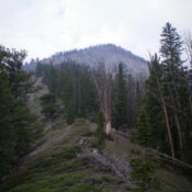
Follow Last Chance Creek up to a major fork in the canyon at about 7,500 feet. Last Chance Creek (a small stream) heads right/west here up the west fork of this canyon split. The ridge that separates the two forks of the canyon is the northeast ridge of Peak 9820. Scramble southwest up the crest of the ridge on a good game trail (initially). Work up the steep ridge of pines, blowdown, and brush. It’s not too bad—just persistently STEEP. Higher up, the ridge bends right-ish/west-southwest and the forest thins out.
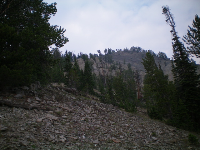
The ridge now has a fair amount of ground firs and some willows. The left/south side of the ridge becomes angled, open scrub and helps skirt the thicker brush. High up, the ridge becomes rockier and the gravel sides are steeply angled but a game trail helps get through some of these patches. The ridge finally bends right-ish/west and joins the east ridge just after you climb up over (Class 3 or 4) a ridge buttress at 9,400-9,500 feet. If you skirt the buttress on its left/south side (as I did) and scramble up its steep south side on its rocky left/west edge, the workaround goes at Class 3.
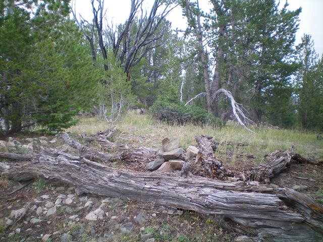
Regain the ridge crest just above this buttress and scramble west up a mix of steep gravel and ridge pines to reach the semi-open, forested summit of Peak 9820. There was no summit cairn so I built one on the base of a fallen tree, which is the high point. When I descended the northeast ridge, I downclimbed a few minor Class 3 sections of ridge rock in the midsection of the ridge. The game trail just below the ridge crest avoids much of this harder work and keeps these ridge sections at Class 2.

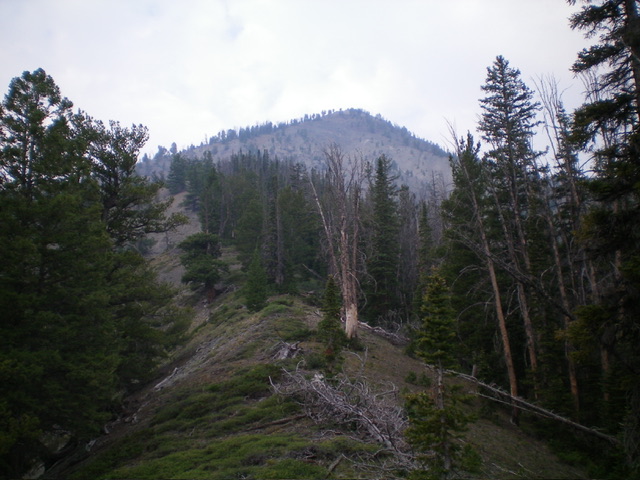
Looking up the northeast ridge from midway up. This was my ascent route. The summit is right of center. Livingston Douglas Photo
Additional Resources
Regions: EASTERN IDAHO->White Cloud Mountains
Mountain Range: White Cloud Mountains
Longitude: -114.6558 Latitude: 44.1882

