Elevation: 9,968 ft
Prominence: 432

This peak is not in the book. LiDAR measurements have replaced the USGS quadrangle measurement of 9,965 feet. Updated November 2024
Peak 9965 is one of three high 9,000-foot peaks located above the Chamberlain Creek drainage (Peak 9911, Peak 9743, and Peak 9965). Peak 9965 sits west of the Continental Divide and is entirely within the State of Idaho. USGS Morrison Lake
Access
Same as for Peak 9743. This is the second leg of a 2-peak adventure that includes Peak 9743 and Peak 9968. It covers 13.0 miles with 3,400 feet of elevation gain round trip.
Map Errors
The roads and road conditions in this area are inaccurate on both the National Forest map and the USGS topo map. McGinty Creek Road is a good 2-track road. It is a one-lane road that is mostly gravel with one dirt section. There are no side roads along the way from its unsigned junction with McFarland Boulevard (6.2 miles). It weaves around a bit but generally heads east. The old jeep roads on the USGS topo map (now closed to motorized vehicles in the Eighteenmile Wilderness Study Area) are now used as hiking and horse trails. Some of these old roads are only foot trails now.
East Face, Class 2
The Climb
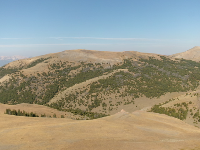
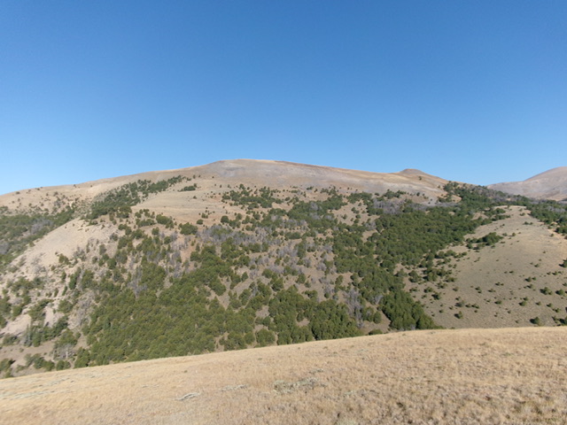
From the crossing of Chamberlain Creek, scramble west up through open grass and scrub (easy) to reach forested terrain. Bushwhack west up through a reasonable pine forest with some small open areas of grass/scrub. Cross a minor dry gully then climb west up steep-ish open grass (easy). Bend left/south higher up and cruise to the obvious high point of Peak 9968. The summit had no cairn so I built a modest one on the high point.
Southwest Ridge, Class 3
The Descent
From the summit, descend south down a magnificent rounded ridge of easy tundra to reach a right-ish/southwest bend in the open ridge. Descend into semi-forested ridge terrain much earlier than the USGS topo map suggests. The ridge terrain is still easy. Stay close to the left/south edge of the ridge in open grass/gravel on the border with the pine forest. Lower down, the forest takes over and becomes much thicker and more tedious, with more deadfall as well.
The ridge gets much steeper and rockier, especially on the final descent into the side drainage. The steep, loose talus/scree requires great care in this downclimb (Class 3). The final descent to the drainage is mostly a steep face descent on talus/scree with scattered pines and deadfall. Once in the side drainage, follow it left/southeast down to Chamberlain Creek in a mix of talus/scree and veg. Use a game trail to help get through this drainage. This side drainage is bone dry. Once at Chamberlain Creek, retrace the Southwest Ridge Route in descending back to the Eighteenmile Creek Trailhead.

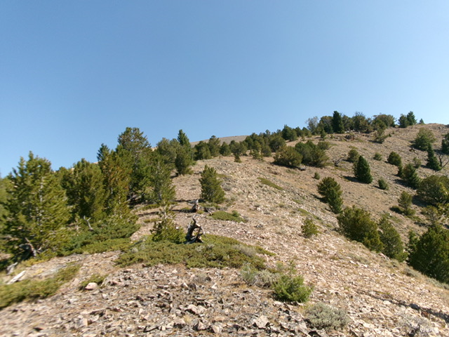
Looking back up the semi-open mid-section of the southwest ridge. This was the initial part of my descent route. Livingston Douglas Photo
Additional Resources
Regions: Beaverhead Range->EASTERN IDAHO
Mountain Range: Beaverhead Range
First Ascent Information:
- Other First Ascent: Southwest Ridge—Descent
- Year: 2024
- Season: Summer
- Party: Livingston Douglas
Longitude: -113.0330 Latitude: 44.5195

