Elevation: 9,986 ft
Prominence: 326

This peak is not in the book. The name was proposed by Rick Baugher. Published November 2024
Peak 9986 sits atop a high northwest-southeast ridge in the Boulder Mountains that separates the upper reaches of Trail Creek from Murdock Creek, Eagle Creek, and Lake Creek. It is overshadowed by Mallory Peak (10,589 feet) to the northwest and Peak 10334 to the southeast. Peak 9986 is most easily climbed from the West Fork Trail to its north. USGS Rock Roll Canyon
Access
Park Creek Road/FSR-140 and the West Fork Trail (also known as the Trail Creek Loop Trail/FST-126) [(B)(1)(a) on Page 242 of the Book]. Park at a campsite near the West Fork Trailhead in the road loop. This parking spot is at 7,820 feet and 43⁰50’44”N, 114⁰17’54”W.
Northeast Shoulder, Class 2+
The Climb
From the [signed] West Fork Trailhead, follow the trail briefly to a fording of Trail Creek. Walk upstream on a use trail for about 100 feet to a footbridge/log crossing of the creek. Once across the creek, follow a use trail downstream to rejoin the West Fork Trail. Continue west on the trail for about 100 yards to a fork in the trail and a trail sign for “Loop Trail #126.” Go left/west here for the West Fork of this loop. After about 0.9 miles, reach a hard-to-see fork in the road/trail. The West Fork Trail continues right-ish/west but the old road bed (which now has small pines growing in it) continues left-ish/southwest and drops slightly to cross the West Fork Trail Creek and go a ways farther south into the forest.
Bushwhack south up through a mix of open grass/scrub and pine forest to soon find a well-defined ridge on the right/west side of a major, narrow gully that is heading southwest. The forested ridge climbs southwest and follows the narrow gully briefly. It soon moves right-ish away from the prominent drainage and never returns to it. Bushwhack up the rounded ridge crest in a mature pine forest. The ridge narrows and changes to thick, young pines (not fun) but there is a game trail near or on the ridge crest to help navigate this section.
The ridge now follows a narrower side drainage to its left/south. Eventually, there are some open areas of grass/scrub on the left/south side of the ridge crest to make the climb easier. Higher up, the pines disappear and the ridge becomes mostly field grass. The grass gives way to steeper, rockier ridge terrain higher up (Class 2+). The ridge gets quite steep high up and it bends hard left/south to climb up to the summit ridge crest. This section of ridge is the steepest, rockiest, and loosest of all (Class 2+). This steep section reaches the summit ridge area. Go left/southeast and scramble for a short distance up easy Class 2 rock to reach the small, cairned summit of Peak 9986.
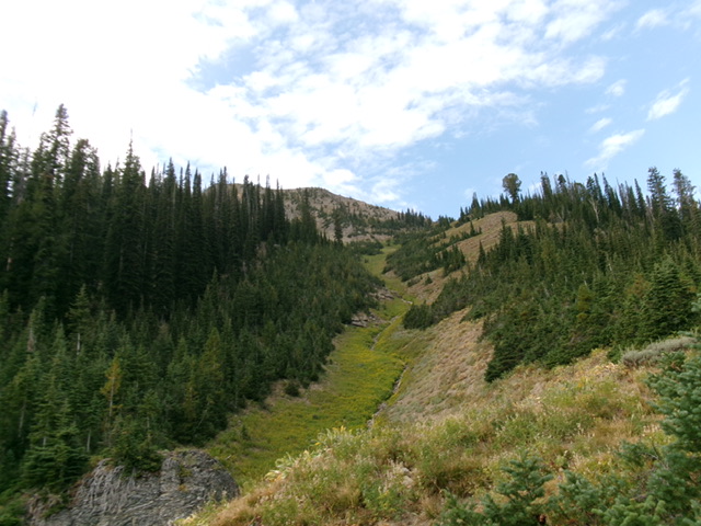
It may also be possible to climb the wide, open gully to the west of the northeast shoulder. This gully leads all the way up to a ridge saddle at 9,660 feet, just northwest of Peak 9986. From that saddle, scramble southeast up the narrow, rocky ridge to the summit. This alternative route probably avoids much of the thick forest bushwhack entailed with the northeast shoulder route. Surprisingly, many of the wide gullies in this area are free of brush and are mostly a straightforward talus/scree scramble.

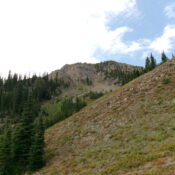
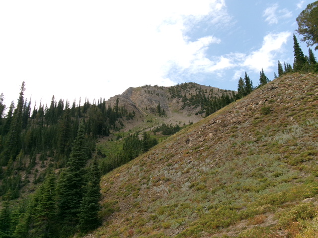
Looking up the northeast shoulder (right of center). This was my ascent route. The summit is left of center on the high ridge. Livingston Douglas Photo
Additional Resources
Regions: Boulder Mountains->EASTERN IDAHO
Mountain Range: Boulder Mountains
Longitude: -114.3274 Latitude: 43.8296

