Elevation: 7,547 ft
Prominence: 327

This peak is not in the book. Published November 2020
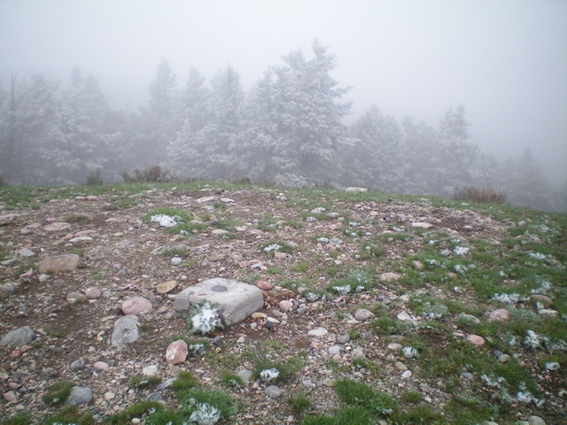
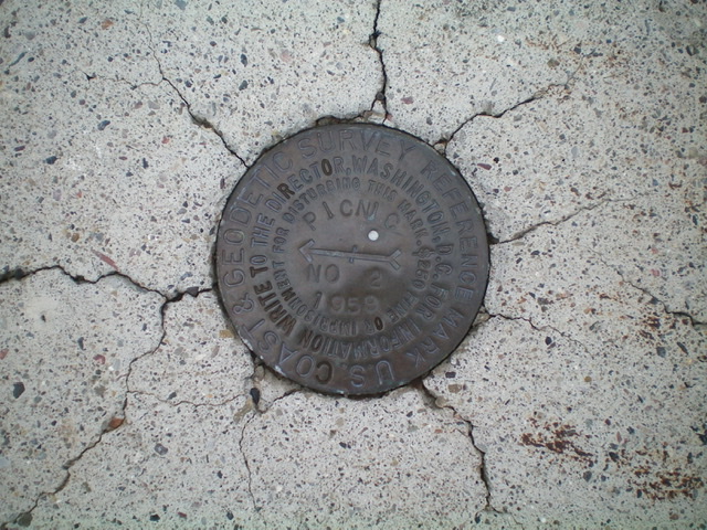
Picnic Benchmark is a ranked summit that sits at the head of Picnic Hollow on the west side of I-15 north of Spencer, ID. Its west ridge is a short, enjoyable scramble from Pleasant Valley Creek Road/FSR-323. It has three benchmarks on the summit, all encased in concrete. This enjoyable adventure covers only 2.5 miles with 850 feet of elevation gain round trip. Picnic Benchmark can also be climbed from Picnic Hollow to its east, initially on a [signed] forest service road coming up the hollow from the I-15 frontage road. However, the Picnic Hollow Route is a longer route. USGS Spencer North
Access
From Exit 184/Old Beaver on I-15, drive north on the frontage road/FSR-323 on the west side of I-15 for 2.7 miles to a signed junction with Pleasant Valley Road (which is a continuation of FSR-323) at an underpass. The frontage road is paved. Pleasant Valley Road is a graded dirt road with some potholes. Drive 3.2 miles on Pleasant Valley Road and reach in a small pullout on the right/west side of the road just before crossing a cattle guard/fence. Park here (6,755 feet). It is difficult to turn around here so when you finish the climb, drive another 0.2 miles south on Pleasant Valley Road to reach its junction with the Stoddard Creek ATV trail. This is a good place to turn around your vehicle and head back to Exit 184 on I-15.
West Ridge, Class 2
The Climb
From the parking pullout, you have two options. Either follow the left/north side of the cattle fence (but there is no foot path alongside it) or bushwhack directly east up the brush to reach the better-defined ridge crest higher up. If you do the direct bushwhack route (as I did), the cattle fence joins you higher up. In either case, stay left/north of a minor drainage to stay on the correct ridge. There are decent gaps in the sagebrush in this section of the climb.
Higher up, follow the cattle fence along the crest of the west ridge to reach a cattle gate and an old, faint 2-track road. Hike up the 2-track as it follows the ridge crest over two ridge humps to reach the small summit area of Picnic Benchmark. The nearby pine forest was coated with freshly-blown snow on the chilly May morning that I was up here (see photo). Navigationally, this is an easy route since it is entirely on open terrain. Any forested areas are to the left/north of the ridge crest and should be avoided.
Additional Resources
Regions: Beaverhead Range->EASTERN IDAHO
Mountain Range: Beaverhead Range
Longitude: -112.25001 Latitude: 44.43289

