Elevation: 6,545 ft
Prominence: 230

This peak is not in the book. Published November 2024
Pine Butte is located northeast of Butte Crater on the east side of Red Road in Fremont County. Though called a butte, it is actually a double crater formation with the official high point on the west rim of the east crater. USGS Pine Butte

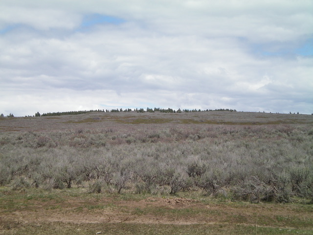
Pine Butte (the line of pine trees in the distance) as viewed from the west. Livingston Douglas Photo
Access
Same as for Butte Crater. This is the second leg of a 2-peak adventure that includes Butte Crater (6,485 feet) and Pine Butte. It covers 8.9 miles with 750 feet of elevation gain round trip.This area is a mix of private and public land but its sure seemed like it was all public BLM land to me.
Map Errors
The USGS map shows a road heading north then northeast (from a confluence of desert roads) to the southeast corner of the east crater of Pine Butte. That road does not exist.
Southeast Face, Class 2
The Climb
From the low point between Butte Crater and Pine Butte at a “T” road junction (44⁰14’55”N, 111⁰49’23”W), head right/east on a 2-track road for about 5-7 minutes to reach another unsigned road junction at a slightly higher elevation. Go left/ northeast here onto a 2-track road and follow it to about 6,400 feet. Leave the 2-track road here and bushwhack northwest directly at Pine Butte. The terrain is gapped sagebrush with cattle trails in it.
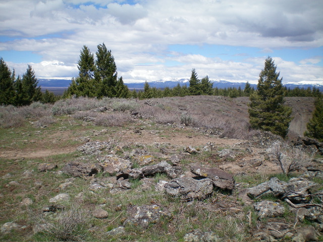
Find an east-west road high up and follow it briefly left/west to reach an unmapped spur road that heads right/north up the west rim of the east crater to reach the open high point of Pine Butte. There was no summit cairn so I checked out another rocky outcrop about 50 feet farther north but it was slightly lower. The summit offers a nice view of the east crater and the thick pine forest on the crater’s east side.
Southwest Face, Class 2
The Descent
From the summit, follow the spur road back to the high east-west road. Cross the road and bushwhack south then southwest directly at Butte Crater. The terrain is a mix of thick sagebrush and patches of thick, short willows but there are decent lanes in the sagebrush and most of the willows can be skirted. This is a far more direct route to return to the Butte Crater area (and then southwest to Red Road) than the southeast face route. Ascend a bit to skirt the east side of Butte Crater and intercept the key road that takes you back to Red Road.
Additional Resources
Regions: Saint Anthony Dunes->SNAKE RIVER PLAIN
Mountain Range: Snake River Plain
Longitude: -111.8161 Latitude: 44.2633

