Elevation: 8,020 ft
Prominence: 204
This peak is not in the book. Published November 2021
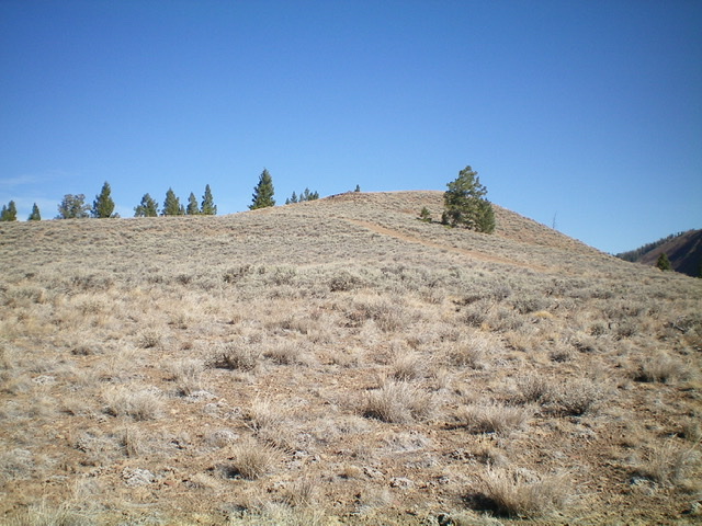
Pine Summit is a sagebrush hump that is located close to FSR-079. An old 2-track road leads to the gravelly summit. There are no pines on the summit but there are pines on its west and north sides. USGS Twin Peaks
Pine Summit (the hump right of center) as viewed from FSR-079 to its south. Where are the PINES?? Livingston Douglas Photo
Access
From US-93 at the north end of Challis, turn left/west onto [signed] Clinic Avenue. Follow Clinic Avenue as it goes west briefly, then jogs north briefly, then heads west to a “T” junction with [unsigned] Challis Creek Road. This junction is 0.4 miles from US-93. Turn right/north onto Challis Creek Road and drive 9.7 miles to a signed junction. Go left here and reset your odometer. You are now on [unsigned] FSR-080. At 6.2 miles, reach a signed junction. Go left onto FSR-080/Pine Summit Road. Drive 2.0 miles south up FSR-080 to a signed junction with FSR-079. Park at this junction (7,698 feet).
South Face, Class 1
The Climb
From the road junction, hike east up FSR-079 for about ½ mile to an unsigned road junction directly south of Pine Summit. Follow the 2-track road north to the open gravel summit.
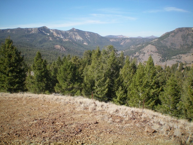
Here are the PINES. On the west side of the summit hump. Livingston Douglas Photo
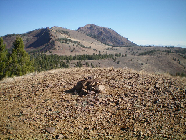
The newly-built summit cairn atop Pine Summit. Livingston Douglas Photo
Additional Resources
Regions: Eastern Salmon River Mountains->Salmon River Mountains->Southeast Corner Peaks->WESTERN IDAHO
Mountain Range: Eastern Salmon River Mountains
Longitude: -114.41581 Latitude: 44.50449