Elevation: 6,090 ft
Prominence: 120

This butte is not in the book. Published November 2024
Player Butte sits above Player Creek to the north and Browns Bench to the east, just north of the Idaho/Nevada border. This area is a mix of private and public land, so be careful. This entire climb is on BLM land. USGS Browns Bench South
Access
From US-93 at Rogerson, drive to the center of Rogerson and [signed] 1520N. This is the [paved] Rogerson-Jarbidge highway. Reset your odometer here. Drive 9.3 miles west on the Rogerson-Jarbidge highway to a signed BLM road junction. Go left/south onto this good gravel road (“Browns Bench Road”) and drive about 15 miles south to an unsigned road junction at a creek crossing that is about 0.2 miles north of the Idaho/Nevada border. Park here.
South Ridge, Class 2
The Climb
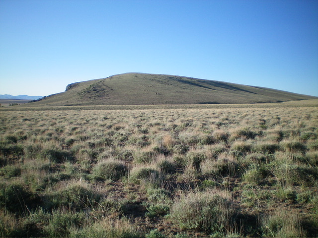
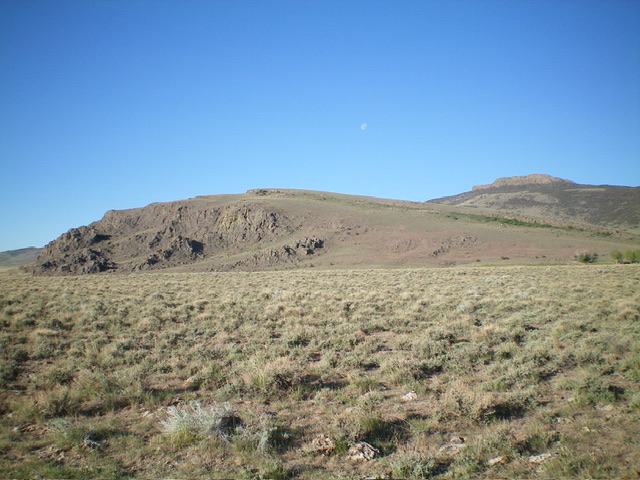
From the road junction, bushwhack west across open desert scrub to reach an old 2-track road after crossing a dry gully. Follow this 2-track road southwest then west then north to where it crests and crosses a narrow saddle just west of the south ridge of Player Butte. Leave the 2-track and scramble north-northeast up the easy, open terrain to the elongated summit area of Player Butte. Contrary to LOJ, the high point seems to be at the north end of this tilted plateau near a fence row. I found a summit cairn there.

The summit of Player Butte, looking south along the summit ridge at the lower, official high point. Livingston Douglas Photo
Additional Resources

