The Portneuf Range, which begins east of Blackfoot and extends southeast for 60 miles, is broken by the Portneuf River, which cuts through it at Lava Hot Springs. The northern section of the range begins along the Blackfoot River and gradually climbs up to the summits of North and South Putnam Mountains. Moving south, the crest undulates, reaching its highest elevation southeast of Pocatello at Bonneville Peak (9,278 feet). After being broken by the Portneuf River, the range again climbs steeply, reaching high points at Sedgwick Peak, Baldy Mountain and Cottonwood Peak. Sedgwick Peak (9,167 feet) is the highest point in the southern section and the second highest point in the Portneuf Range.
A portion of the Portneuf Range is located on the Shoshone-Bannock Fort Hall Reservation. Access is not open to the public. Livingston Douglas discusses the current status of Reservation land and the peaks found on that land as it applies to the Deep Creek Mountains and the Bannock Range his article Reservation Peaks of the Northern Arbon Valley. While his article does not specifically address Portneuf Range peaks located on the Reservation, the access issue he discusses equally applies to the Portneuf Range.
For information on traversing Bonneville, Snow Peak and Haystack Mountain, click on this sentence.
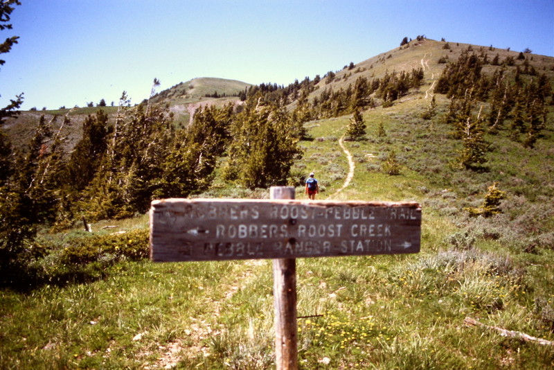
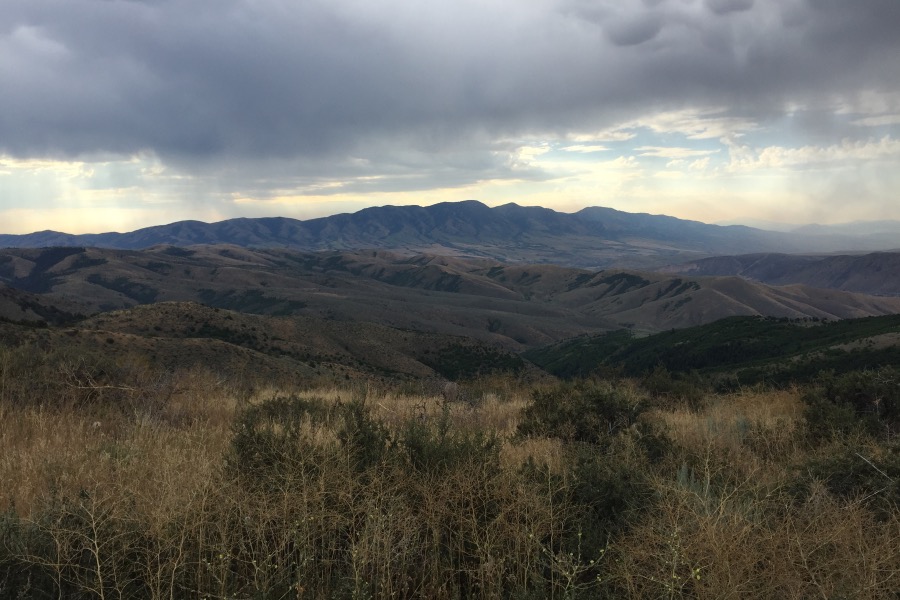
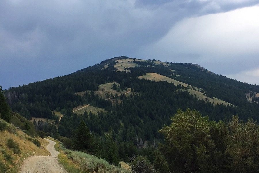
The Portneuf Range encompasses a lot of varied terrain. It is steep but when you reach the crest you will be rewarded.
Regions: Portneuf Range->SOUTHERN IDAHO
Mountain Range: Portneuf Range
Pingback: New Year’s Eve Day-trip | Terry Ownby