Elevation: 9,877 ft
Prominence: 827

This peak is not in the book. Published December 2024
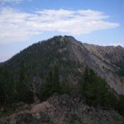
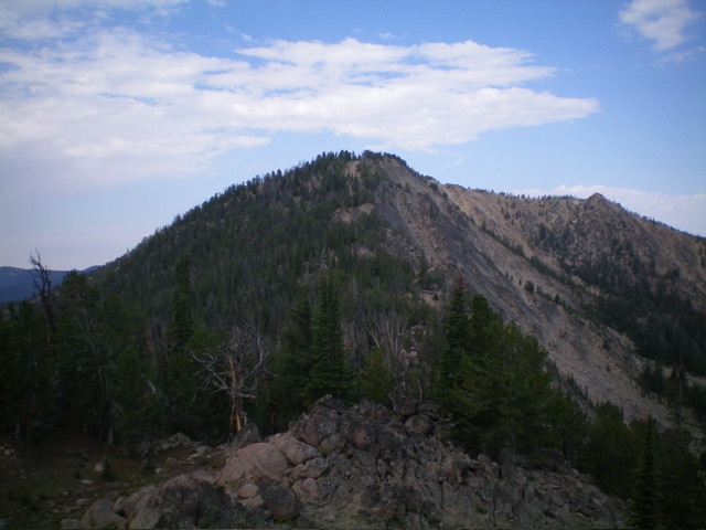
Prospect Point is a rocky peak that towers over beautiful Elk Lake and the headwaters of Elk Creek in the White Cloud Mountains. It is most easily climbed from the Rough Creek Trailhead. Prospect Point sits atop a high north-south ridgeline that begins at the Salmon River to the north and ends at Lookout Mountain (9,965 feet) to the south. USGS Casino Lakes
Access
Rough Creek Road/FSR-626 and Rough Creek Trail/FST-647 [(A)(4)(a) on Pages 229-230 of the Book. This is the first leg of a 2-peak adventure that includes Prospect Point and Peak 9600. It covers 8.5 miles with 3,600 feet of elevation gain round trip.
West Ridge, Class 3
The Climb
From the Rough Creek trailhead (7,405 feet), bushwhack east up a forested shoulder. This shoulder is steep, but not difficult. It has no rock and minimal deadfall. Follow this shoulder up to a narrow, semi-open ridge heading right/southeast. Scramble along this easy ridge crest (pines, blowdown, and grass) to quickly reach a marshy, grassy meadow to the left/east.
Leave the ridge and bushwhack east then southeast across this awful meadow of hidden streams, blowdown, thick grass (sometimes tall as well), areas of sagebrush, and hidden mudholes. After reaching the southeast corner of this marshy nightmare and the primary inlet stream, follow the stream southeast briefly into a thick pine forest with lots of deadfall. Leave the stream drainage and cross to the stream’s left/north side to reach a ridge crest. This is the toe of the west ridge.
Bushwhack east-southeast then southeast up the ridge in a pine forest that offers a game trail early on. The ridge terrain is a mix of ridge pines and deadfall initially. An open grass/scrub area on the right/south side of the ridge soon emerges. While angled, the open terrain sure beats the forest bushwhack. Higher up, the open area ends and the ridge bends left/east and becomes a mix of thick pines, deadfall, and rocky outcrops/boulders. The ridge is less well-defined, but if you stick to its right/south edge, it is easy to follow.
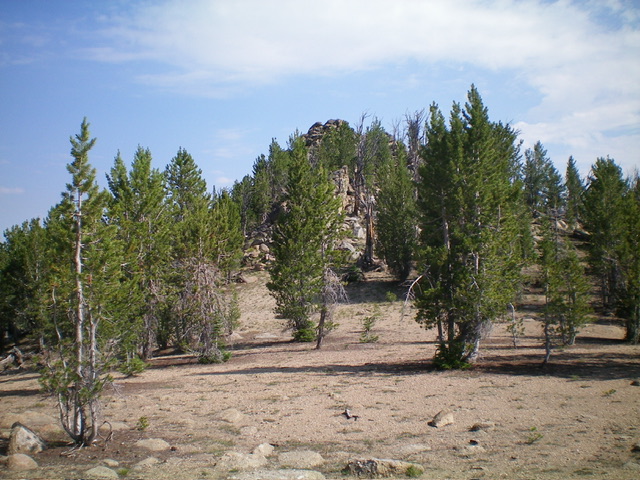
The ridge rock high up goes at Class 3 in a mix of rock, pines, and deadfall. Not fun, but it goes. If you skirt the ridge outcrops, you can keep this area at Class 2. The west ridge leads directly up to the high summit ridge at the [lower] south summit hump. Skirt the northwest side of this point and scramble north through scattered pines and short grass/pine duff to reach the base of the rugged, boulder-and-pines summit hump. Scramble up to the two summit blocks/towers and stand atop both of them since they are of equal height. This is Class 3 work. The left/west tower is probably the high point but the USGS topo map is not clear on the exact high point of Prospect Point.

The summit towers of Prospect Point (dead center) as viewed from the high ridge just to the south. Livingston Douglas Photo
Northeast Ridge, Class 3
The Descent (then Ascent)
From the summit, downclimb east-northeast through the summit boulders/towers and ridge rock to reach easier, less-rocky ridge terrain below. Descend through a mix of ridge pines and gravel to a small saddle/notch. Climb up over Point 9760+ (or skirt its right/south side) in a mix of forest and rock. From Point 9760+, descend much rockier ridge terrain down to a small connecting saddle with Peak 9600. This section of ridge is a combination of rocky ridge outcrops, boulders, pines, and deadfall. The connecting saddle is at 9,260 feet. It concludes the first leg of today’s 2-peak journey. Peak 9600 is up next.
Additional Resources
Regions: EASTERN IDAHO->White Cloud Mountains
Mountain Range: White Cloud Mountains
Longitude: -114.75559 Latitude: 44.21968

