Elevation: 7,230 ft
Prominence: 1,050
This peak is not in the book. Published November 2020
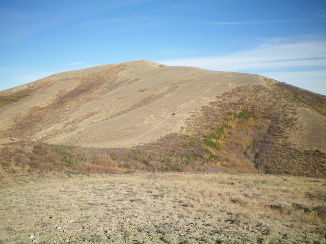
Quaking Aspen Mountain is situated above both Holloway Canyon to the north and Crazy Canyon to the west. It is mistakenly labeled “Quaking Asp Mountain” on the USGS topo map. Quaking Aspen Mountain is a behemoth in this area, with a steep north aspect. It is the first peak in a three-peak adventure that includes Quaking Aspen Mountain (7,230 feet), Peak 6844, and Peak 6770. This climb begins along Crazy Canyon Road/FSR-606. USGS Roy
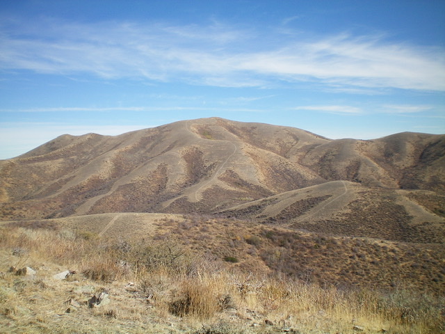
Quaking Aspen Mountain (center) is a behemoth in this section of the Sublett Mountains. This view is from the southwest. Livingston Douglas Photo
Access
From the junction of ID-38 and ID-37 in Holbrook, drive northwest on ID-37 to a [signed] junction with Meadowbrook Road/BLM-027. Turn left/southwest onto BLM-027 and drive 1.3 miles to a [signed] junction. Go right/north onto Kress Road and drive 6.5 miles to an unsigned junction. Go left onto Holloway Canyon Road/BLM-025 and reset your odometer. At 1.7 miles, reach BLM land at a cattle guard. At 3.3 miles, reach a [signed] junction. Go left onto Crazy Canyon Road/BLM-606. At 4.7 miles, reach an [unsigned] junction at a gully on the left/east side of the road. This gully heads east up the south side of Quaking Aspen Mountain. Park at or near this junction (5,930 feet).
West Ridge, Class 2
The Climb
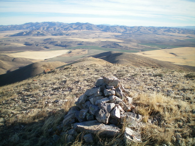
From the base of the gully, hike briefly up a spur road then follow a good cattle trail left/north across a minor shoulder. From the shoulder, continue northward and bushwhack through sagebrush across a minor, dry gully to reach the west ridge of Quaking Aspen Mountain. Scramble northeast then east up the easy scrub on the rounded ridge. Upon reaching a ridge junction high up, go right/southeast and drop to a narrow ridge saddle. Continue east to the summit. The summit has a nice cairn and a USGS benchmark sticking out of the ground just below, and south of, the summit cairn.
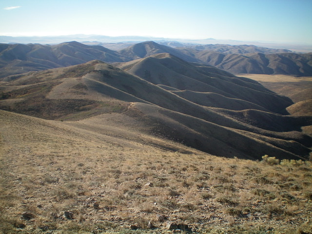
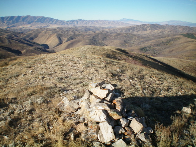
The weaving, undulating south ridge of Quaking Aspen Mountain as viewed from the summit. Peak 6844 is in dead center (mid-ground). Livingston Douglas Photo
South Ridge, Class 2
The Descent
From the summit, follow the ridge southeast then south to a saddle. Hike along a weak 2-track road (not of much help) southeast then south over two ridge humps then drop quickly to a final saddle at 6,540 feet. This is the low point and connecting saddle between Quaking Aspen Mountain and Peak 6844. This concludes the first leg of today’s three-peak journey. Peak 6844 is up next.
Additional Resources
Regions: SOUTHERN IDAHO->Sublett Range
Mountain Range: Sublett Range
Longitude: -112.86669 Latitude: 42.25089
