Elevation: 4,883 ft
Prominence: 333

This peak is not in the book. Since this peak is on private land, you should get permission before climbing it. Published November 2024
Reptile Benchmark separates Lanes Gulch from the Raft River Valley on the south side of I-86 in southern Idaho. It is a ranked summit that is on private land. However, I encountered no signage or fencing to prohibit entry. USGS North Chapin Mountain

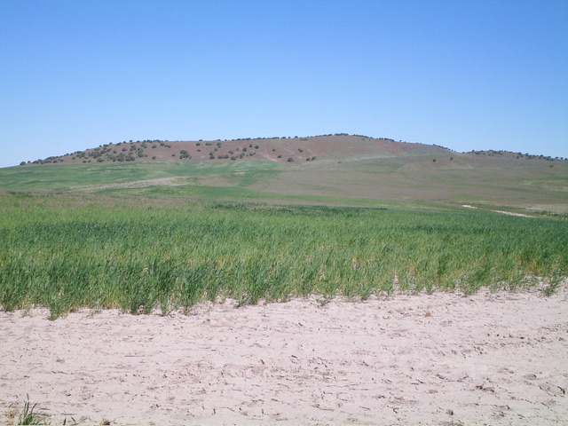
Reptile Benchmark as viewed from the road crest (start of climb). The summit is just right of center in the forested ridge area. Livingston Douglas Photo
Access
From Exit 21/Osborn Loop on I-86, drive south on [signed] Barkdull Road. At 1.8 miles, go straight at a signed junction to go onto Lanes Gulch Road. At 3.9 miles, reach a crest in the road. Park here (4,545 feet and 42⁰34’07”N, 113⁰08’51”W).
Southeast Ridge, Class 2
The Climb
From the road crest, hike northwest through field grass on the remnants of an old 2-track road to reach a shoulder. Follow it briefly northwest then drop 35 vertical feet to cross a grassy, dry gully. Continue northwest, aiming directly at the high point. Cross another shoulder (skirting past the left/west side of an antenna-clad ridge hump) then drop 40 vertical feet to cross a grassy gully with some dirt/scree mixed in.
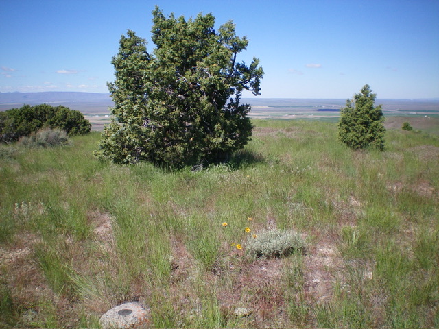
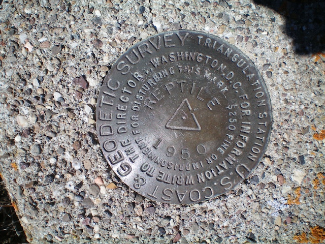
From that gully, ascend a more prominent shoulder that heads northwest then bends right-ish/north to reach the head of a final gully. Cross the top of this gully (with a minor drop) then scramble west up a steep shoulder of short grass directly to the summit. The summit of Reptile Benchmark has some trees and two USGS benchmarks. This climb is mostly a grassy, up-and-down bushwhack to a ridgeline summit. Nothing difficult.
Additional Resources

