Elevation: 8,649 ft
Prominence: 42
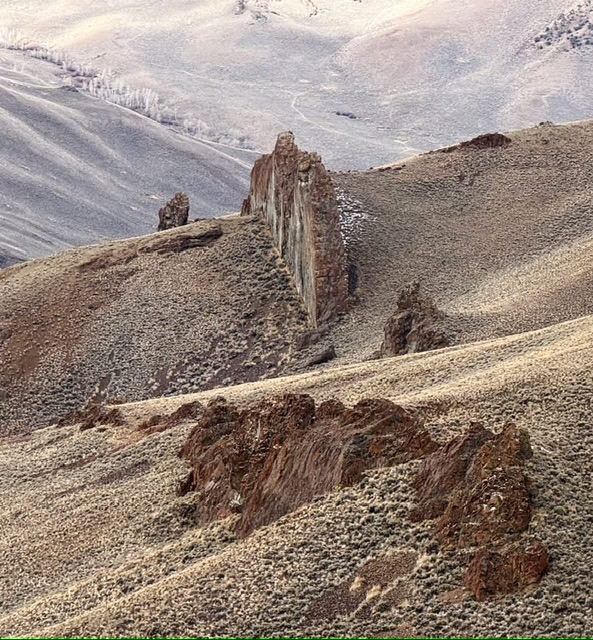
This formation is not in the book. The BGN page for this feature classifies it as “pillar” but has no information about its naming history. Livingston Douglas did not climb this formation but provided the description and access information. Kaden Platt soloed a Class 5.5 route up the Northeast face and Derek Percoski climbed a Class 4 route up the Northwest shoulder. Updated November 2024
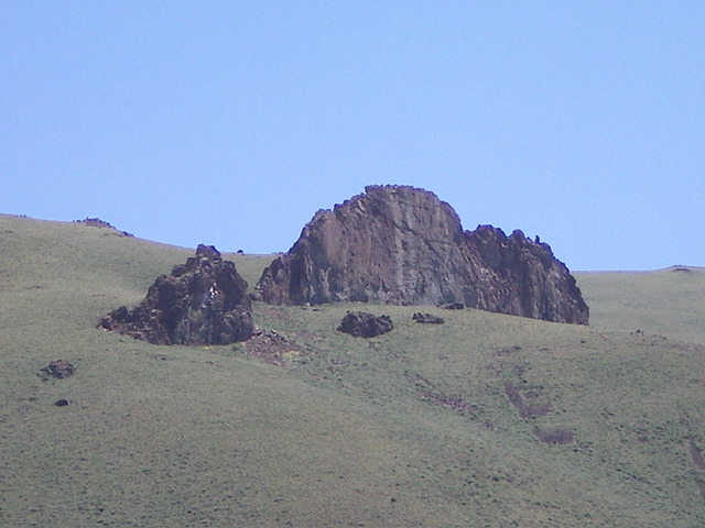
Rock of Ages is an impressive rocky protrusion that sits due east of Burnt Creek Road near the fork in the canyon. It is most easily climbed from Burnt Creek Road. Based on the USGS topo map and visual observation, Rock of Ages appears to require Class 5 climbing skills. There are no recorded ascents as of 2024. USGS Burnt Creek
Access
Burnt Creek Road (BLM-140) is located along Donkey Hills Road exactly 1.5 miles northwest of Short Creek Road (see Access Section for Pia Soko Katete). The signed junction of Burnt Creek Road and Donkey Hills Road is at 44⁰13’32”N and 113⁰38’18”W. Drive southwest then south on [signed] Burnt Creek Road (a decent 2-track road) to a stream crossing and a side drainage at 3.7 miles. Continue about 1.3 miles south on Burnt Creek Road (which is now much rockier and rougher) and park along the road due west of Rock of Ages. This spot is about 0.5 miles before the major fork in the canyon. The final section of Burnt Creek Road has some steep sections and two narrow gullies to cross. A 4WD vehicle with high clearance is required.
Routes and Photos by Derek Percoski
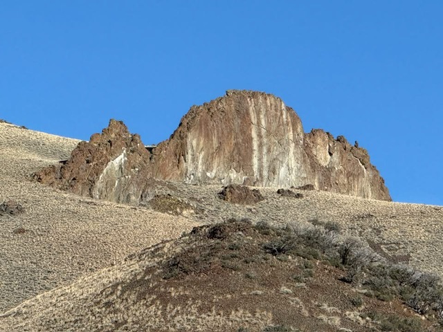
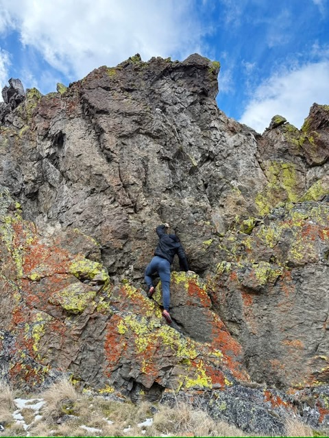
Northeast face, Class 5.5
After walking around the back, a short 5.5 pitch can be climbed directly to the obvious highpoint.
Northwest shoulder, Class 4
It’s possible to scramble the entire northwest shoulder from bottom up. It’s classic class-4; easy scrambling with some spooky exposure.
Additional Resources
Regions: EASTERN IDAHO->Lost River Range
Mountain Range: Lost River Range
First Ascent Information:
- Other First Ascent: Northwest shoulder
- Year: 2025
- Season: Fall
- Party: Derek Percoski
Longitude: -113.62174 Latitude: 44.15196
