Elevation: 6,380 ft
Prominence: 333

This peak is not in the book. Published December 2024
Rocky Knoll is a rock and brush hump located due east of Thatcher. It is most easily reached from FSR-391 to its southeast. This area is a mix of private and public land, so be careful. The summit of Rocky Knoll is on unposted private land. This route is almost entirely on BLM land. USGS Thatcher
Access
Main Canyon Road (unsigned) is located along ID-34 north of Preston and south of Grace at virtual MM31.8. Turn northeast onto Main Canyon Road and reset your odometer. Immediately bear left at a fork (the right fork goes to a private ranch). Main Canyon Road is a county road. It has some major bends and is somewhat steep. It is in poor shape after the first mile or so. It is a dirt road that is badly rutted. Do not drive this road in wet conditions.
At 2.1 miles, reach the BLM boundary. At 2.4 miles, reach an unsigned junction. Go left/north onto [unsigned] FSR-391. This better dirt road heads north then northwest then north to reach a fence row crossing and the end of BLM land at 3.1 miles. Park here on the BLM side of the cattle fence (5,815 feet and 42⁰23’51”N, 111⁰40’28”W).
South Ridge, Class 3
The Climb
Consult the LOJ Land Management Map to know the sections of private land and BLM land in this area. From the BLM boundary, follow a cattle trail west on the left/south side of the fence row (on BLM land) as it descends 115 vertical feet to cross a dry gully. Continue west up out of the gully to reach a fence corner. Jump the fence corner to remain on BLM land. Head north up through open scrub to quickly reach a minor hump that is a mix of thick maples and brush. Cross this hump, drop 10 feet, and head north up over a forested ridge. This ridge is a bit tedious but has some open areas of grass and scrub. Drop 25 feet to cross a dry gully underneath a set of powerlines. You are now in open terrain at the base of the south ridge of Rocky Knoll.
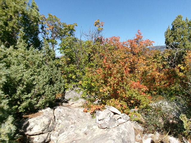
Continue north in a mix of scrub, ground boulders, scattered junipers, and mountain mahogany. Reach the base of the ridge rock/blocks on the south ridge of Rocky Knoll. Maple trees now join the mix and are thick. Scramble north along the steep, blocky ridge in a difficult Class 3 mix of large boulders, brush, and maples. Look for any areas of pure rock and just keep pushing upward. The final short section to the summit boulders is easy. There is a small cairn atop a boulder in an open spot. The high point is a nearby boulder that is amongst the thick trees on the summit.

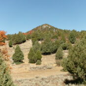
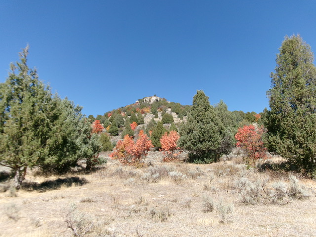
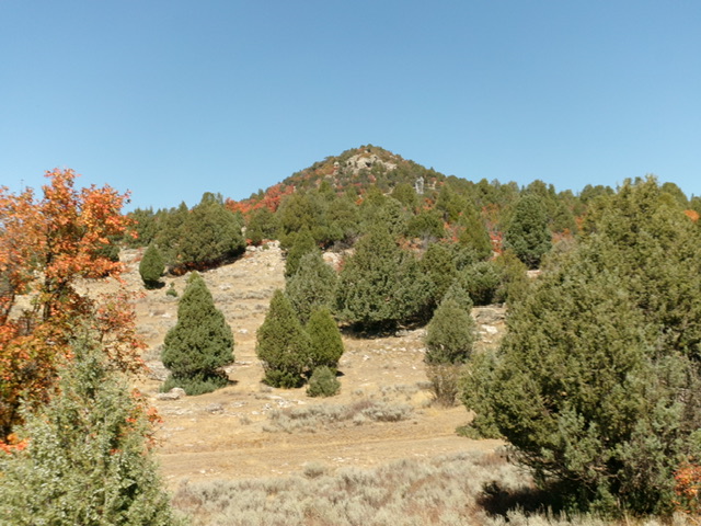
Looking up the rugged south ridge of Rocky Knoll from its base at the powerlines crossing. This was my ascent route. Livingston Douglas Photo
West Face, Class 2
The Descent
From the summit, bushwhack off the forested, brushy summit cap to quickly reach the scrub and boulders of the east west face. The west face is less rocky and has no maples or mountain mahogany. It is less steep and more open. After descending below the ground boulders, head left/south back down to the dry gully and underneath the powerlines in easy grass and scrub. The west face is a JOY compared to the brutal south ridge. Once at the powerlines, retrace the ascent route back to FSR-391 at the BLM boundary and the fence row.
Additional Resources
Regions: Bear River Range->SOUTHERN IDAHO
Mountain Range: Bear River Range
First Ascent Information:
- Other First Ascent: South Ridge
- Year: 2024
- Season: Summer
- Party: Livingston Douglas
Longitude: -111.6759 Latitude: 42.4090

