Elevation: 8,245 ft
Prominence: 1,179
Climbing and access information for this peak is on Page 73 of the book.
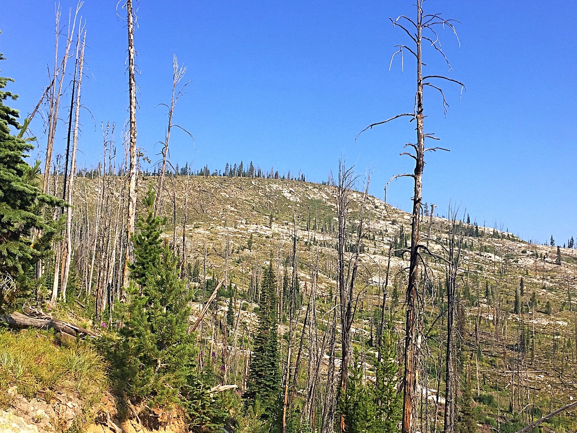
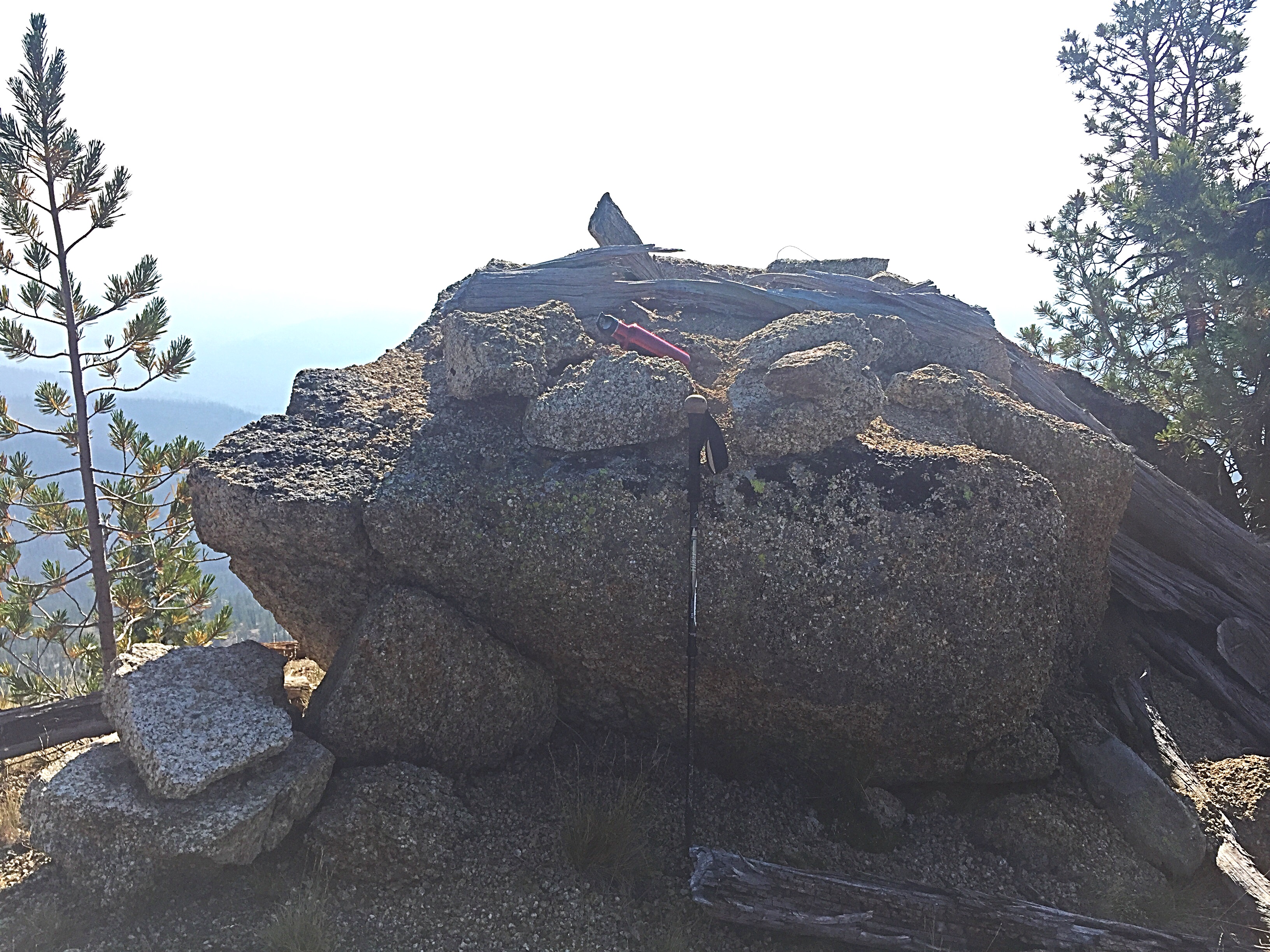
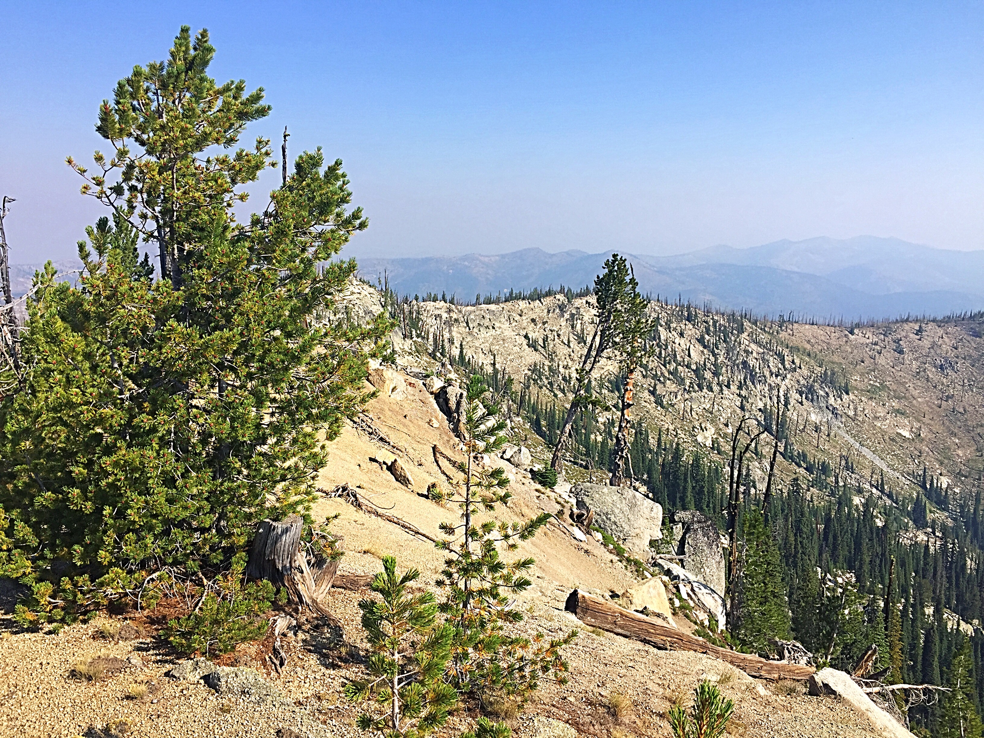
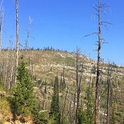
Sabe Mountain is located between Burnt Knob and Salmon Mountain on the north side of the Magruder Corridor. Sabe is one of the most prominent summits along the corridor. Its forest were burned off many years ago and are now just starting to return. Sabe Mountain is a former fire lookout site. The lookout was evidently comprised of a platform which sat on top of a small granite outcrop located on the peak’s high point. Today there are a few remnants of this minimal structure left. USGS Sabe Mountain
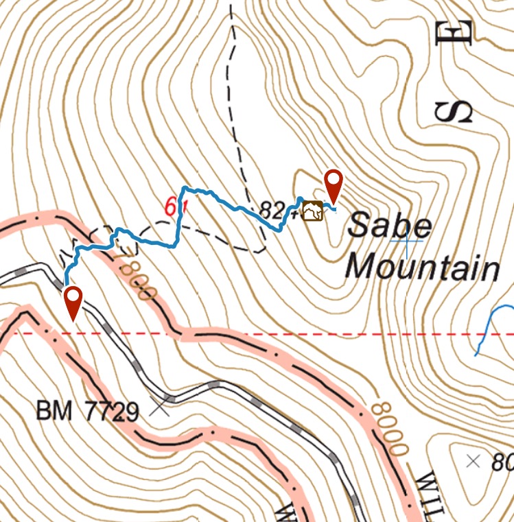
FST-61 leads over the summit ridge from FS-468. The trailhead is located 38.8 miles east of the western end of the road. The road is wide enough at the unsigned trailhead for one or two vehicles to park. In 2017, the trail was well maintained. Follow it up to the summit ridge and then go cross-country to the summit. Round-trip statistics are 1.2 miles with 600 feet of elevation gain.
Additional Resources
Mountain Range: Southern Clearwater Peaks
Year Climbed: 2017
Longitude: -114.93549 Latitude: 45.65739
