Elevation: 10,441 ft
Prominence: 1,741

Climbing and access information for this peak is on Pages 210-211 of the book. Livingston Douglas updated the route description for the traverse from Galena Summit to Saviers Peak. Updated December 2021
Saviers Peak is located on the main Smoky Mountain Crest at the head of Owl Creek. See this link for the naming story for this peak: Where do peak names come from? This peak is often climbed from Owl Creek but for the adventurous this peak serves as the anchor of a five peak ridge traverse starting at Galena Summit. USGS Galena

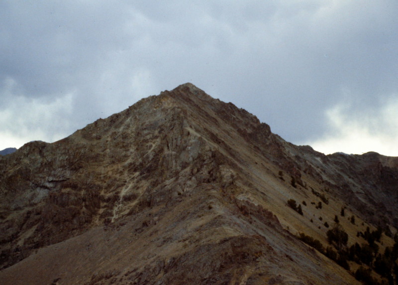
Saviers Peak as viewed from Titus Peak.
The Galena Summit to Saviers Peak Traverse by Livingston Douglas
Saviers Peak is located on a high ridgeline in the Smoky Mountains that runs from Galena Summit south to Saviers Peak and the Camas County High Point (10,337 feet). This is the final leg of a magnificent 5-peak ridge traverse that includes Titus Weather Station (9,921 feet), Lower Titus Peak (10,005 feet), Titus Peak (10,110 feet), Bromaghin Peak (10,225 feet), and Saviers Peak. The adventure covers 8.0 miles with 4,025 feet of elevation gain round trip.
Access
Same as for Titus Weather Station. This is the final leg of a 5-peak journey.
North Ridge, Class 2
The Climb
From the 10,060-foot connecting saddle with Bromaghin Peak, scramble south up over Point 10182 and drop to a minor saddle. Continue south along the ridge crest, staying right/west of the rocky ridge blocks higher up on the ridge. The talus/scree on the side of the ridge is very unstable and requires diligence to cross but it is the only way to keep this climb at Class 2. The rocky summit of Saviers Peak had a torn-down cairn, which I rebuilt. Thousands of ladybugs kept me company.

Saviers Peak as viewed from Bromaghin Peak

This is the register left by Mr. and Mrs. George Saviers who climbed the peak while on their honeymoon in 1947.

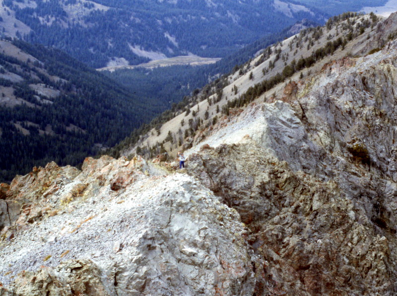
Looking down the east ridge

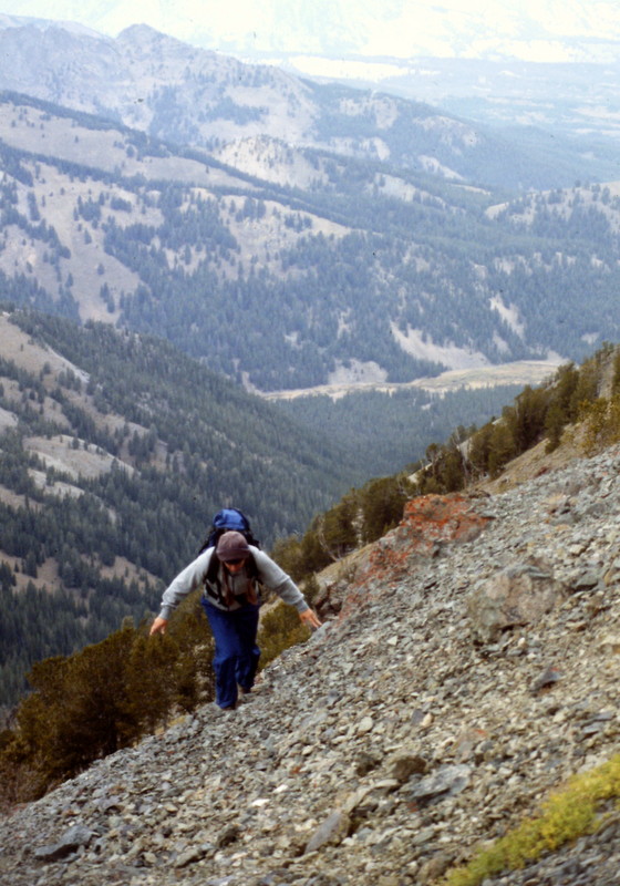
Climbing up the peak’s east ridge

A lone climber on the summit
Additional Resources