Elevation: 4,837 ft
Prominence: 617
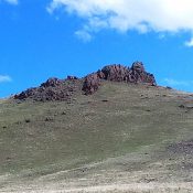
This peak is not in the book. Livingston Douglas contributed a photo to this entry. Updated November 2022
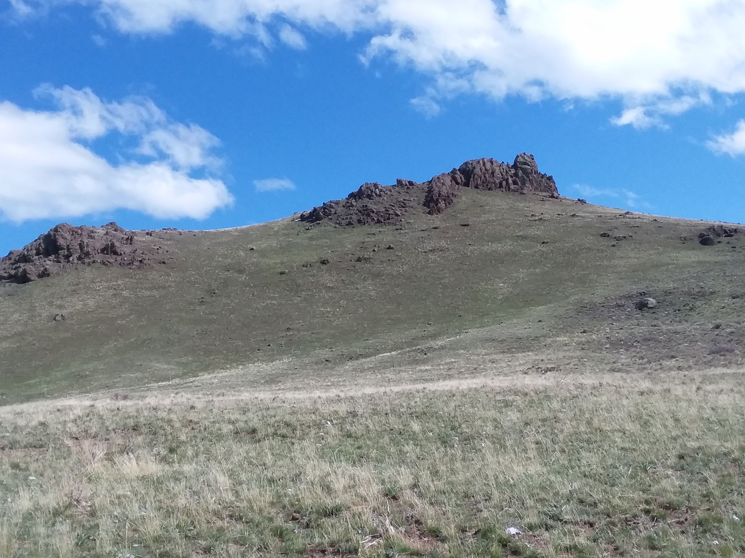
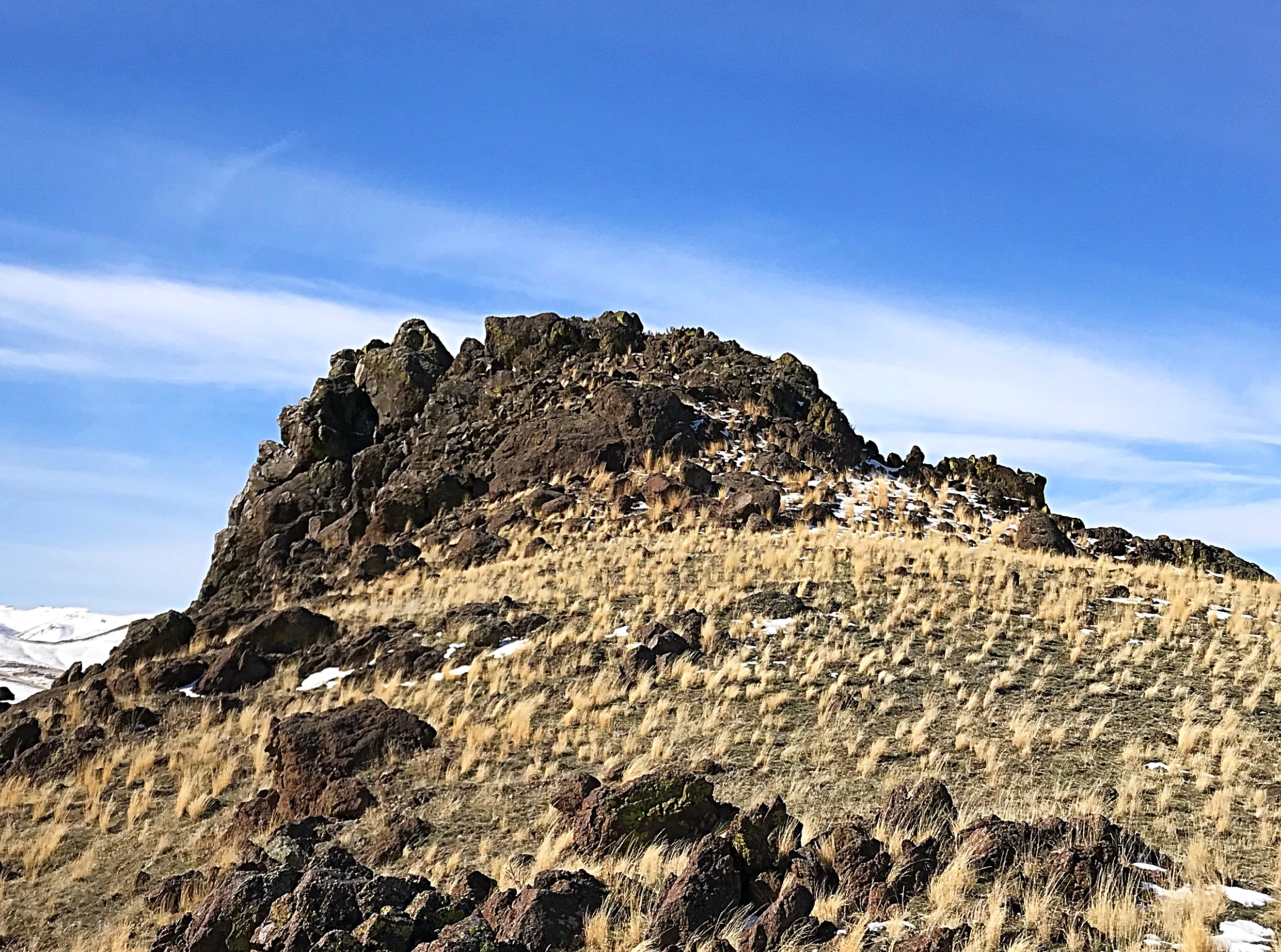
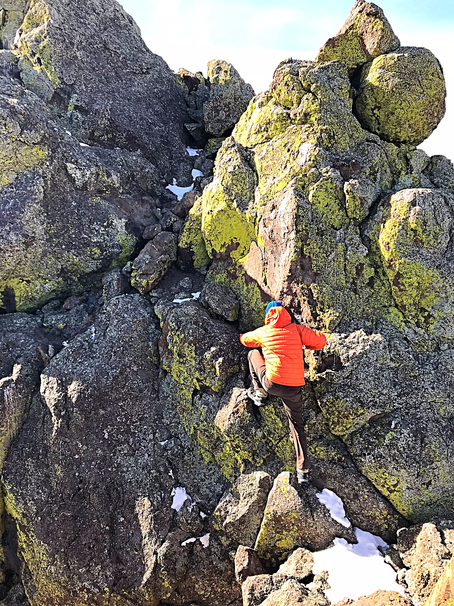
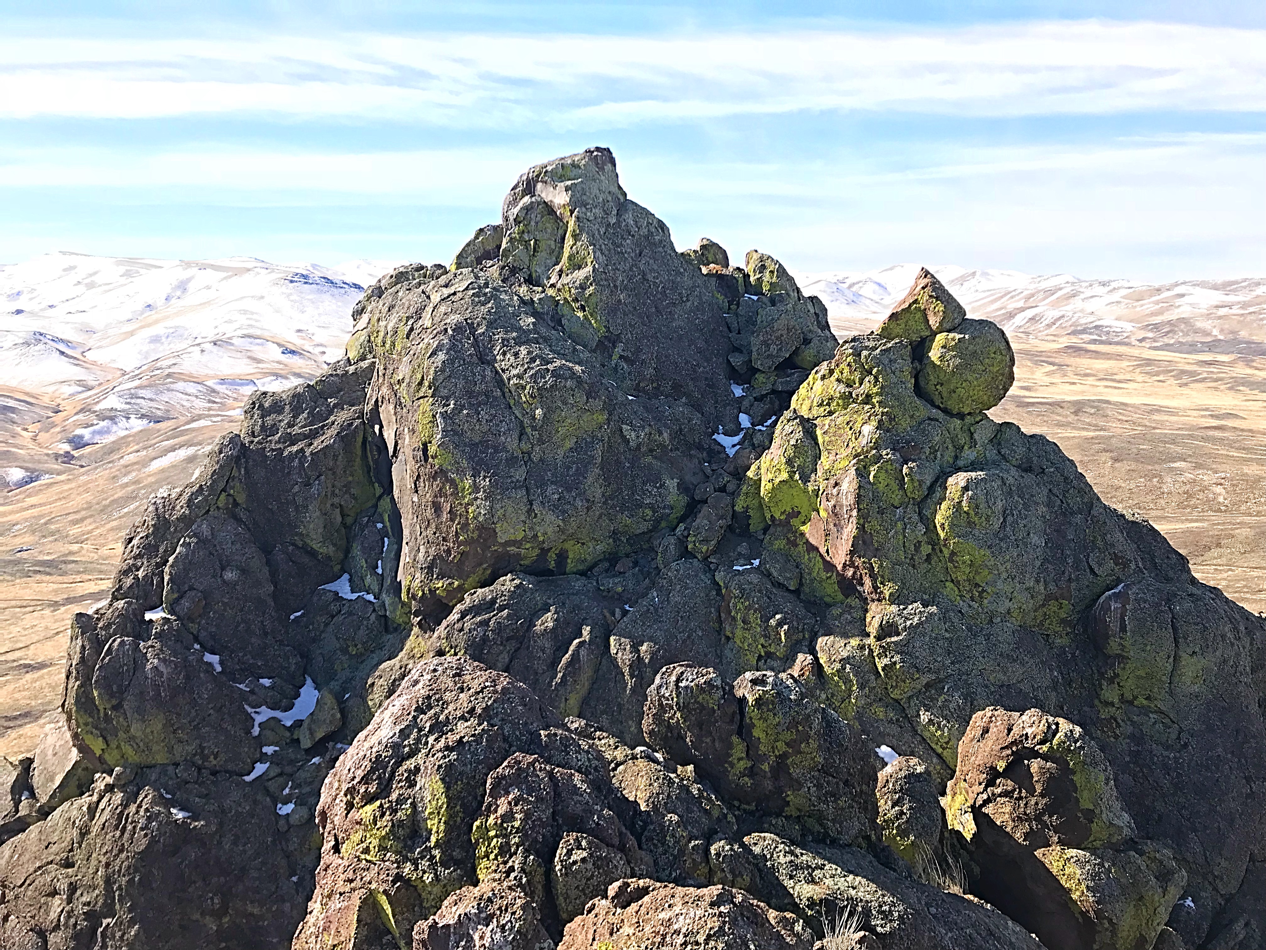
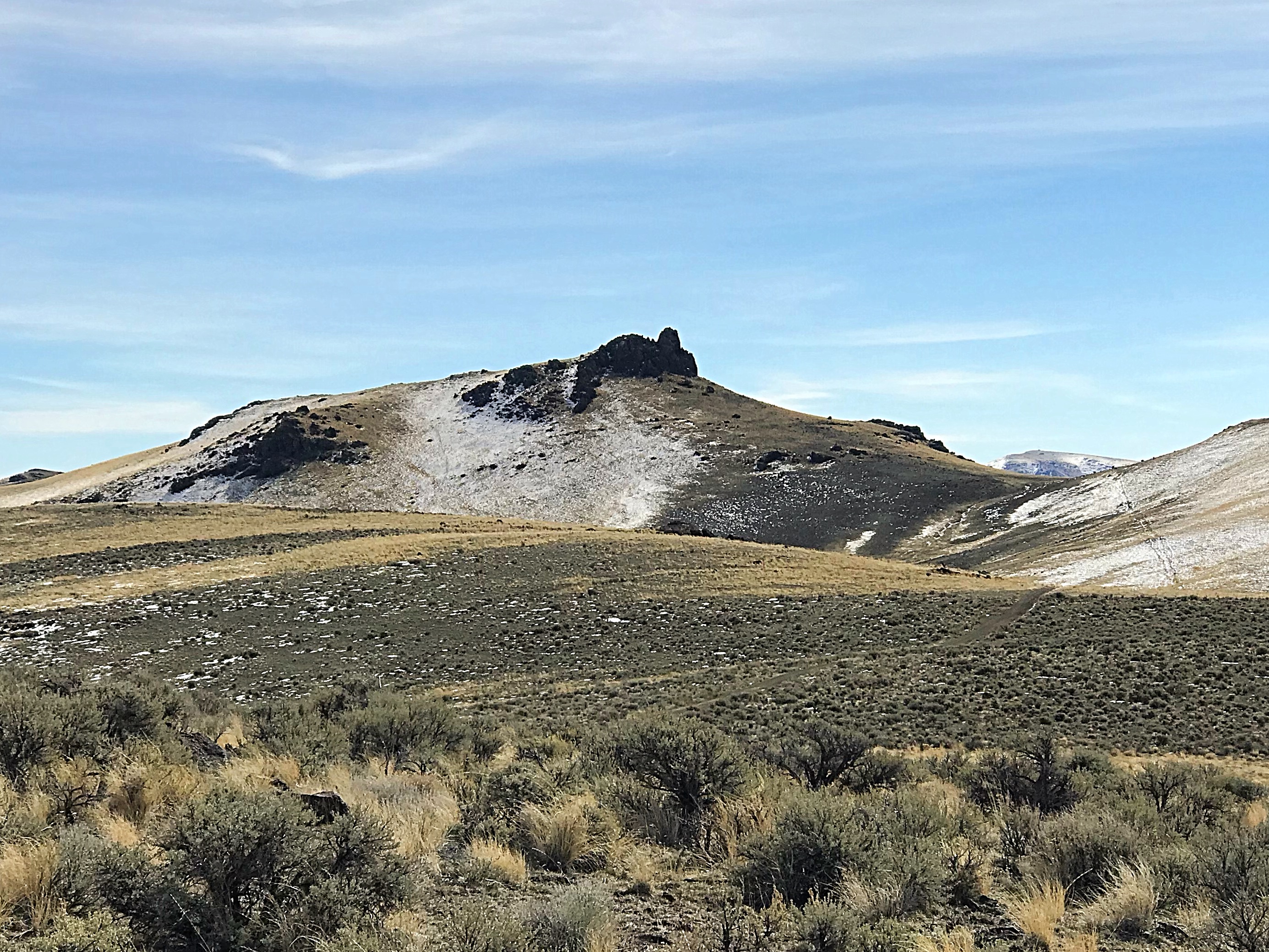
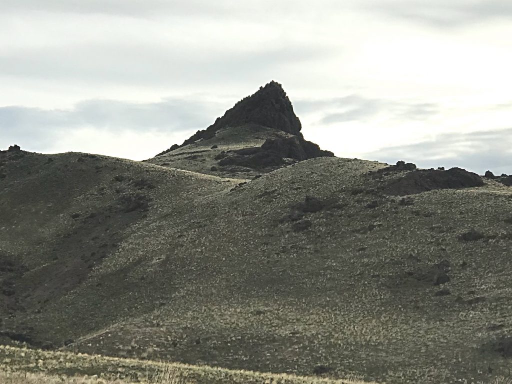
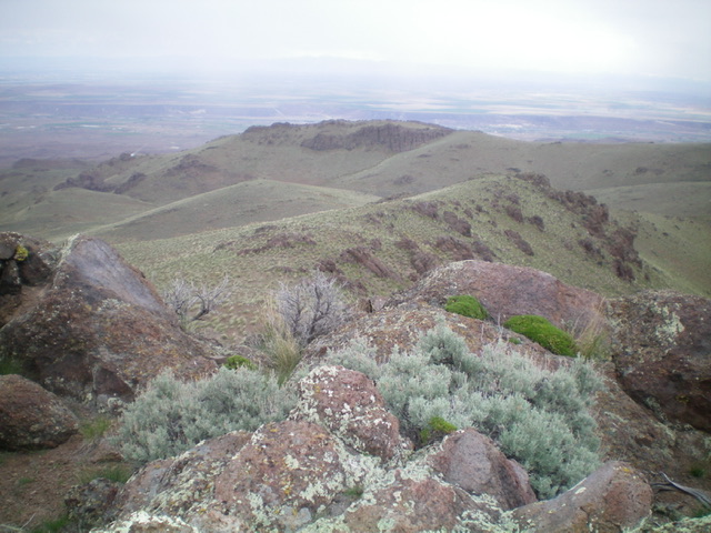
Shares Snout is a distinctive rocky summit on the northern fringes of the Owyhee Mountains. It has a rocky summit which requires a short rock climb but is otherwise a walk-up. USGS Opalene Gulch
Access
Coyote Grade Road. This road is easily accessed from ID-78. Take ID-78 east from Marsing, Idaho for 5.5 miles. Turn right or south onto Clark Road and follow it for 3.0 miles to a signed junction (the first 2.0 miles are paved). Unfortunately, the junction does not identify the named Coyote Grade Road. Using Google Maps will also get you to the north slopes of the peak.
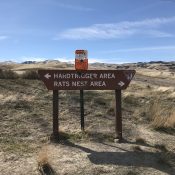
Turn right toward the Rat’s Nest Area. The name must refer to the maze of roads that you quickly encounter. Follow the road uphill for 5.0 miles with an elevation gain of 1,500 feet. This road has a few sharp turns and impressive dips but is periodically maintained and, when dry, is passable for 2WD vehicles with adequate clearance.
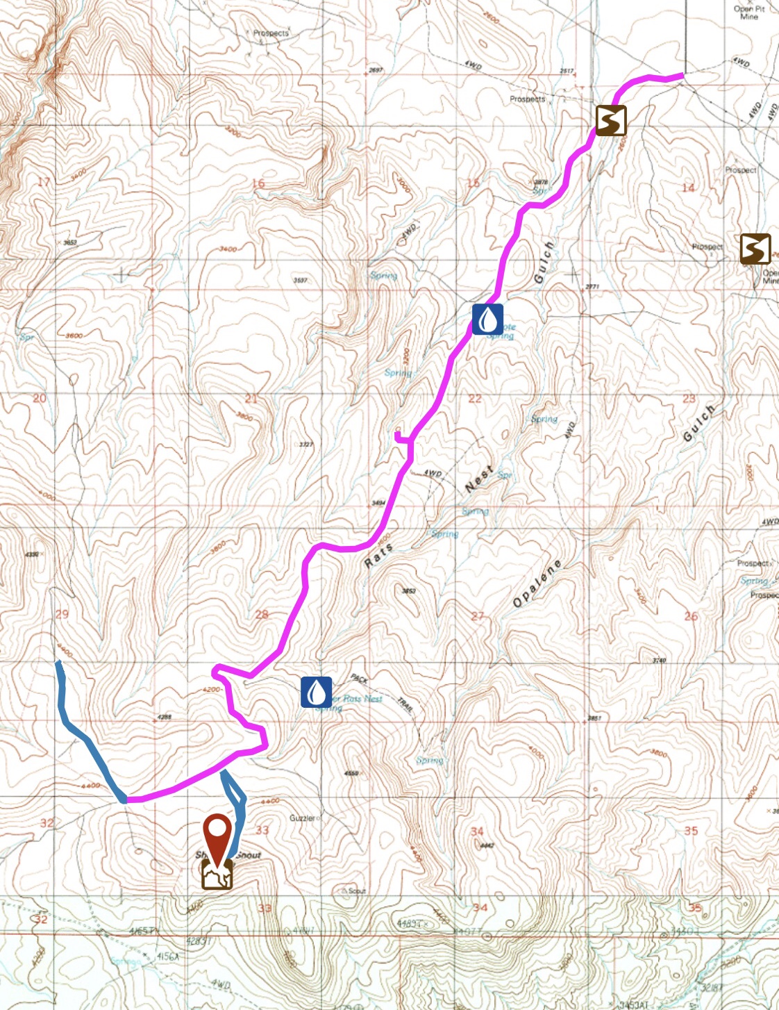
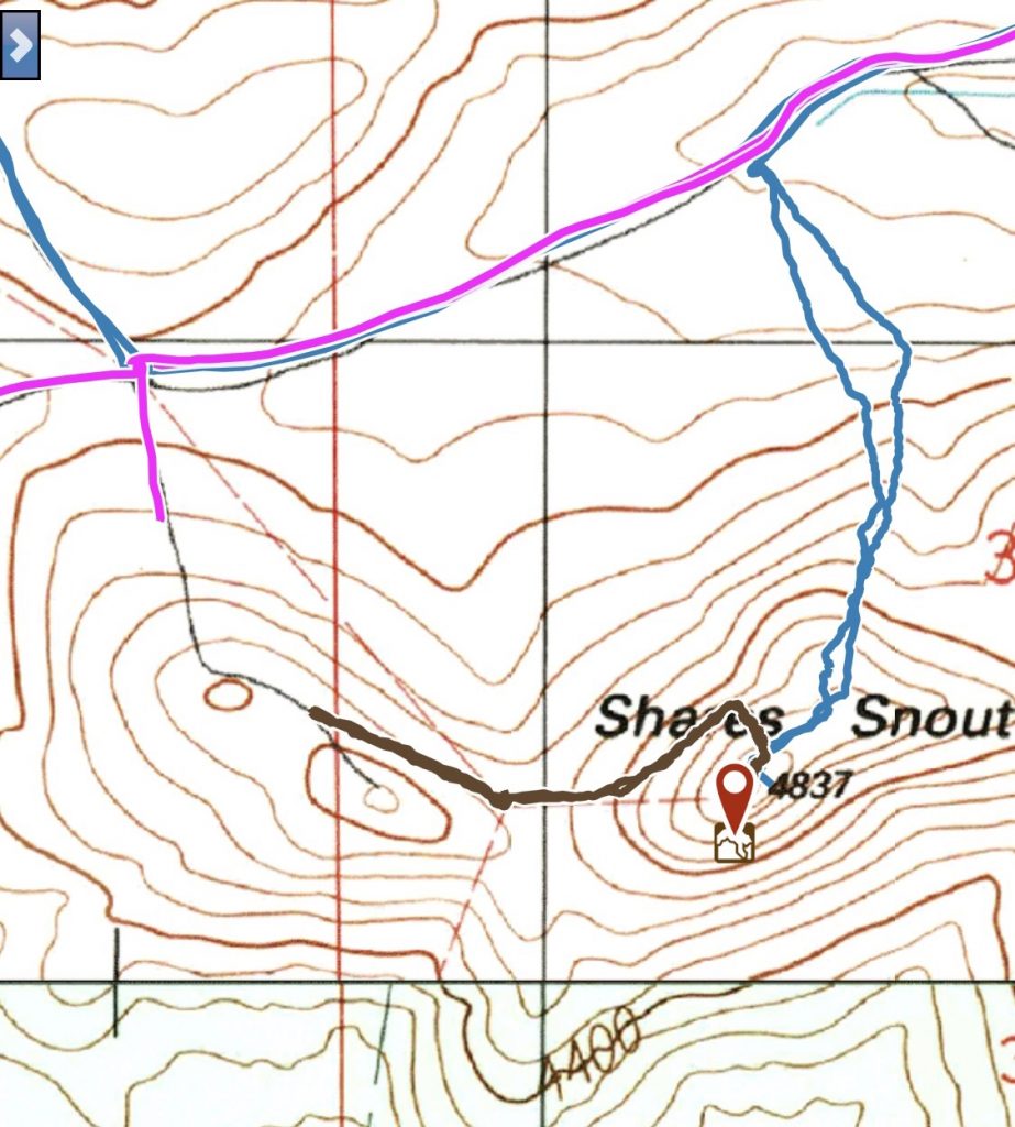
My GPS track for the Coyote Grade Road. The road continues on past the north slopes of Shares Snout. We followed the 4WD side road marked in blue to a viewpoint. The main road continues southwest from this point.
North Slopes, Class 3 by Brett Sergenian
Shares Snout is climbed from Coyote Grade Road. From the road, the summit can be approached from either side. Both routes lead right below the higher south summit. Then scramble to the top of the tiny summit, which is difficult to stand on. The views are not bad, with the northern Owyhees and the Snake River easily visible. From the road, the total distance round trip was a mile with 465 feet of elevation gain.
Western Access
Follow the Coyote Grade Road past Shares Snout to to the cattle guard northeast of the summit. Pass through the cattle guard and turn left on the 4WD road that runs south and up to the knob due east of Shares Snout. Park at the 4,600-foot saddle just before the high point.
West Slope Route, Class 3
From the parking spot, contour west over to the base of Shares Snout. Three fence lines junction in the saddle. Scooting under them is probably safer than trying to climb over them. Once on the south side of the fence line that runs up to the West Face of Shares Snout, hike up and to the left of the lowest cliff. Once you turn the corner of this cliff, you can climb up to the peak’s lower north summit. From this point, proceed as described above in the North Slopes Route description. This route is 0.8 miles round trip with only 275 feet of elevation gain.
Additional Resources
Regions: Owyhee Mountains->SOUTHERN IDAHO
Mountain Range: Owyhee Mountains
Year Climbed: 2018
Longitude: -116.8252 Latitude: 43.3768
