Elevation: 5,764 ft
Prominence: 344
This peak is not in the book. Livingston Douglas added three additional photos. Updated January 2023
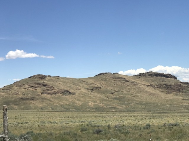
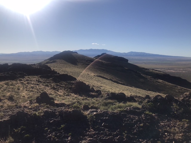
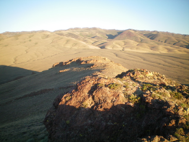
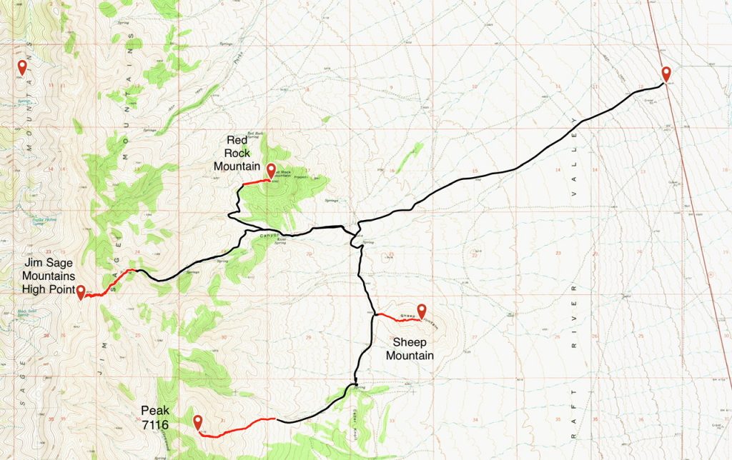
This peak sits east of the main Jim Sage Mountains crest and due east of Elba Peak, the range high point. The peak has a long east-west summit ridge with three rocky points. The middle point is the true summit. USGS Kane Canyon
Access
From Malta, Idaho, drive south on Highway 81 for 6.0 miles. Turn west onto [signed] 2160 S. Kane Springs Road. The road is a good, county-maintained gravel road until it turns northwest toward a ranch. Turn left on the 2-track road that leaves the main road at this turn. Follow this road south, crossing Kane Creek and continue south to the saddle at the base of the peak’s west end. There is a large water tank at this spot and a flat spot for camping. A high-clearance vehicle is recommended.
West Ridge, Class 3
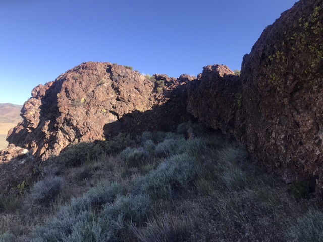
From the water tank, hike up the peak’s broad west ridge, zig-zagging through several rock bands. Cross the western high point and continue on to the middle high point, which is the true summit. It is capped by a crown of broken volcanic rock. At the east end of this outcrop, look for a 10-foot wall. Climb this wall with good holds to reach the summit.
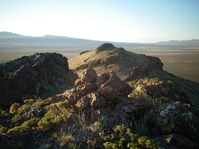
The summit cairn atop Sheep Mountain, looking at the [lower] east summit in dead center. Livingston Douglas Photo
Additional Resources
Regions: Albion Range->Jim Sage Mountains->SOUTHERN IDAHO
Mountain Range: Albion Range
Year Climbed: 2020
Longitude: -113.41559 Latitude: 42.17879
