Elevation: 4,400 ft
Prominence: 330

This butte is not in the book. While it is a prominent high point on the north side of I-84, it is entirely on private property. I note that Livingston and others have recorded ascents to the communication equipment near the summit. Nevertheless, I do not recommend visiting this butte without first securing permission from the land owner. Additionally, since you cannot reach the actual summit, why go there? Published for informational purposes only. Published November 2024
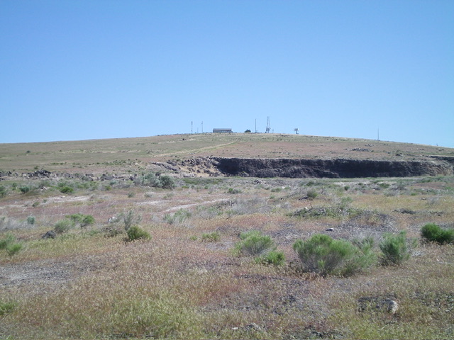
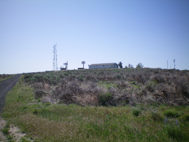
Skeleton Butte is a ranked hump that is located on the north side of I-84 and southwest of Eden. It has a service road to the antennas on top. Skeleton Butte is on private land but seems to be publicly accessible. There is a private residence on the highest point on the summit hump and is not accessible to the public. USGS Eden

Skeleton Butte as viewed from the south, near the base of the service road. Livingston Douglas Photo
North Face, Class 1
Skeleton Butte is a drive-up. From Exit 182 on I-84, drive to the north side of the exit and find the signed frontage road (E990S). Turn right/east onto E990S and drive 3.1 miles to reach the unsigned access road on the south side of the antenna-clad summit hump. Turn left/north onto the gravel access road and drive 1.1 miles to the communication towers on top. The road curls around the left/west side of the butte to reach its north side and then bends right/southeast to reach the top. The access road is not gated or posted. There are several private homes along the access road and a private home on the summit hump a short distance from the communication towers.
Map Errors
The USGS topo map fails to correctly show the position of the access road. It goes all the way to the summit area.
Additional Resources
