Elevation: 6,162 ft
Prominence: 272

This peak is not in the book. This peak is on private land and is not open to the public. Published November 2024
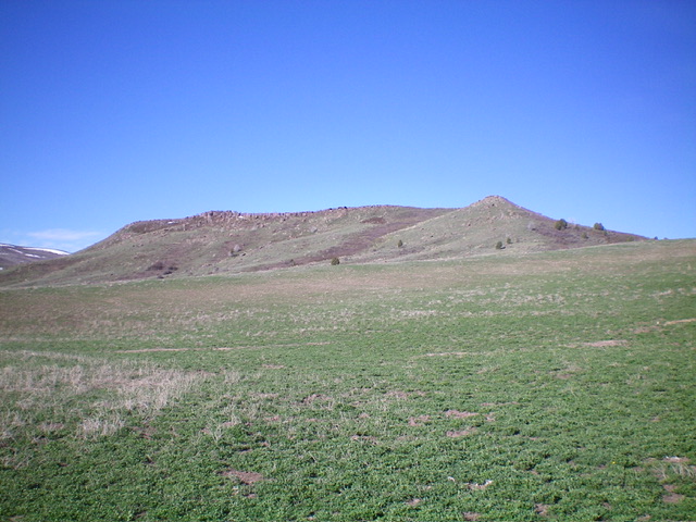
Skelly Hill is located at the northern ramparts of the Caribou Range, on the east side of the Meadow Creek drainage. It is an impressive, rocky hill surrounded by private ranch land. You must obtain permission before conducting this climb. USGS Lone Pine Ridge
Access
From US-26 northeast of Idaho Falls, turn south onto Mud Springs Road (signed for “Ririe Reservoir”) and reset your odometer. At 6.0 miles, reach a signed junction with Meadow Creek Road. Continue straight on Mud Springs Road. At 7.7 miles, reach an unsigned junction. Go straight/southeast. At 8.2 miles, bear right/south at an unsigned “T” junction.
At 9.6 miles, go right/south at an unsigned junction. At 10.3 miles, Mud Springs Road bends hard right/west. At 11.4 miles, park in a minor pullout on the east side of Skelly Hill. This pullout is at 5,840 feet; 43⁰29’23”N, 111⁰39’19”W). It is difficult to find an alternate spot to pull off the narrow road.
Northeast Shoulder/North Ridge, Class 2
The Climb
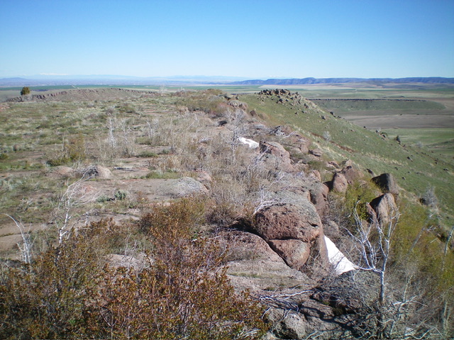
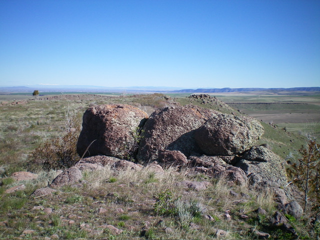
From the pullout, hike southwest across a grazing field of short veg to reach the toe of the northeast shoulder. Scramble up the easy shoulder of scrub to reach the rocky, boulder outcrop at the north end of the tilted summit plateau. Scramble south along the ridge crest to reach the large boulder and measured high point of Skelly Hill. Based on the USGS map, the south summit is the high point.
For whatever reason, LOJ places the high point as the north summit, which measures at 6140+ and has a lower final contour line than the south summit. Visually, it appears that the south summit is higher than the north summit. This route climbs up over the north summit en route to the south summit. LOJ uses the 6,162-foot elevation (of the south summit) as the HP for Skelly Hill but apparently also assigns it to the north summit. It is hard to explain that.
Additional Resources
Regions: Caribou Range->SOUTHERN IDAHO
Mountain Range: Caribou Range
Longitude: -111.6627 Latitude: 43.4855


