Elevation: 6,660 ft
Prominence: 120
This peak is not in the book. Published November 2022
Smelter Butte is a minor butte that is located on the east side of FSR-134, just north of the Muldoon townsite and the junction of FSR-134 and FSR-126 at a private ranch entrance. This butte is on private land, though it is not fenced or posted. Please obtain permission from the landowner before pursuing this climb. USGS Muldoon
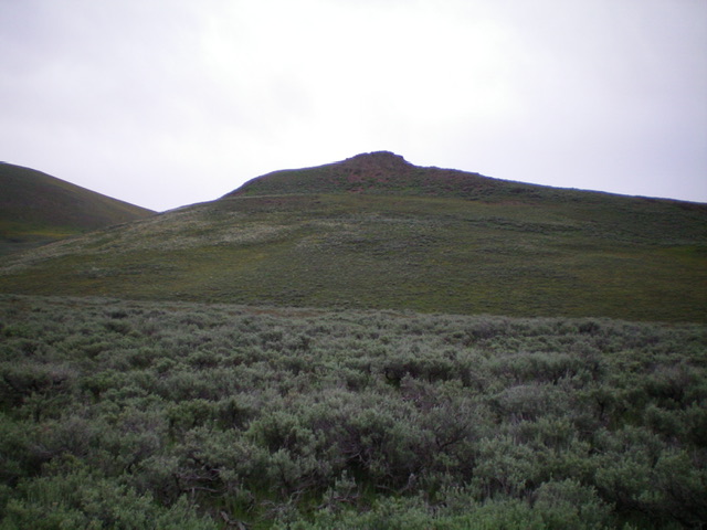
Smelter Butte (rocky outcrop in dead center) and its brushy west face, my ascent route. Livingston Douglas Photo
Access
Drive north up Copper Creek Road/FSR-134 to an unsignedjunction with Muldoon Creek Road/FSR-126. Drive about 0.5 miles farther up Copper Creek Road and park alongside the road on the west side of [obvious] Smelter Butte. This spot is 1.4 miles south of the National Forest boundary and is at 6,345 feet. GPS coordinates: 43⁰34’45”N, 113⁰54’56”W.
In retrospect, the easiest climb is up the southwest shoulder from a point that is a bit farther south on Copper Creek Road than my route. Park at an unsigned junction with a side road that heads right/east from Copper Creek Road to climb the southwest shoulder.
West Face, Class 2
The Climb
From Copper Creek Road at the base of the west face, bushwhack east directly at the summit. There is a minor, 10-foot drop to cross a minor drainage early on. The upper section of the face is steep, loose shale with vegetation mixed in. It is not a fun scramble. The summit of Smelter Butte is a rocky outcrop with a summit cairn.
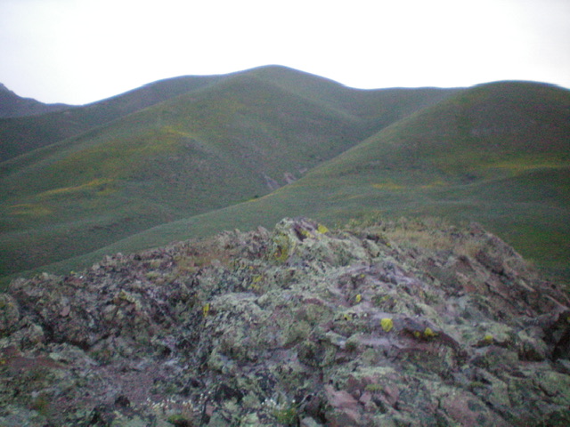
View from the rocky summit of Smelter Butte. Muldoon Ridge is in the distance (dead center). Livingston Douglas Photo
Additional Resources
Regions: EASTERN IDAHO->Pioneer Mountains
Mountain Range: Pioneer Mountains
Longitude: -113.91049 Latitude: 43.57889