Elevation: 10,493 ft
Prominence: 393

This peak is not in the book. See the trip reports below for additional information. Updated November 2024
South Star Hope Peak is a gentle ridge hump located on the east side of the Star Hope Creek drainage. It is most easily climbed via its narrow north ridge from the Star Hope Mine Jeep Road. The peak has a magnificent, steep, gravelly west face that makes for a great descent. USGS Star Hope Mine

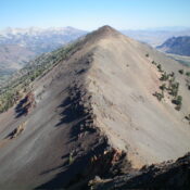
South Star Hope Peak and its rugged, choppy connecting ridge with Drummond Peak. Livingston Douglas Photo
Access
Same as for Coco Peak. This is the fourth leg of a 4-peak adventure that includes Coco Peak (10,420 feet), Skyline Peak(10,248 feet), Drummond Peak (10,525 feet), and South Star Hope Peak. It covers 7.0 miles with 3,850 feet of elevation gain round trip.
Map Errors
Maps fail to show the full extent of Star Hope Creek Road. It becomes a Jeep/ATV Road then a rugged ATV Trail soon after the old mining road where I parked. The rugged, narrow 2-track goes all the way to a high basin at about 9,600 feet. It makes for a good hiking trail and is used by ATVs up to about 8,900 feet. Beyond that, it is not even drivable by ATVs.
South Ridge, Class 3
The Climb
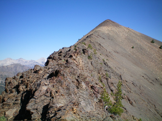
From the 10,100-foot connecting saddle with Pioneer Mountain/Drummond Peak, work through a series of endless ridge towers (Class 3) and slowly gain elevation as you head north up the narrow ridge crest. Once past the towers, the ridge is much easier and heads due north to the gentle summit of South Star Hope Peak. Higher up, the ridge is more rounded and steeper, with loose scree and talus. Thankfully, there is a goat/use trail that switchbacks up through this area. The summit had a modest cairn which I built up a bit. The high point sits on a north-south ridgeline and is not as distinct as the USGS topo map suggests. The first potential high point (with the cairn) appears to be slightly higher than other rocky outcrops to its north.

Looking up the south ridge of South Star Hope Peak from the connecting saddle. This was my ascent route. Livingston Douglas Photo
West Face, Class 2
The Descent
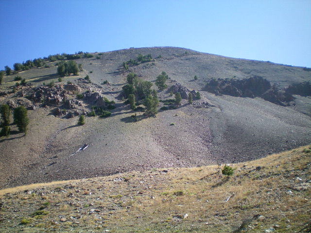
From the summit, descend north to the first ridge notch, where you can now see a descend-able gravel slope to the left/west. Boot-ski down this magnificent, steep, gravel-and-scree slope to a gully to the left/south that leads down to a high basin. Head left-ish/southwest as you descend to reach this large, grassy basin/meadow. From the basin, descend southwest through a mix of grass/scrub and pine forest to reach the Star Hope Creek drainage. [In retrospect, it is better to descend west (rather than southwest) for an easier descent to a flattish meadow at 9,000 feet].
Descend the narrow, rocky creek drainage northwest to a nice meadow and the remnants of an old mining road (now a foot trail). Follow the trail (then ATV trail) north-northwest as it follows the east side of Star Hope Creek down to the road junction and your parked vehicle. The ATV trail meanders up and down a bit through sections of forest and open grassy fields before descending to the road junction, so be prepared for that reality.

South Star Hope Peak and its steep, gravelly east face. This was my descent route. Livingston Douglas Photo

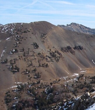
South Star Hope Peak. John Platt Photo
Additional Resources
Regions: EASTERN IDAHO->Pioneer Mountains
Mountain Range: Pioneer Mountains
Longitude: -113.90969 Latitude: 43.68049