Elevation: 7,098 ft
Prominence: 168

This peak is not in the book. Public November 2024
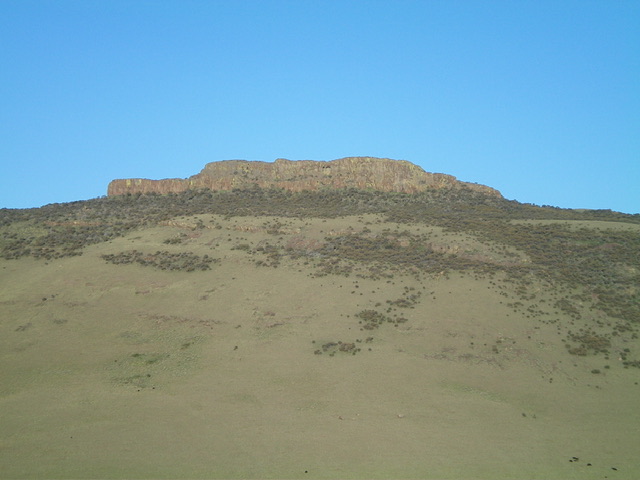
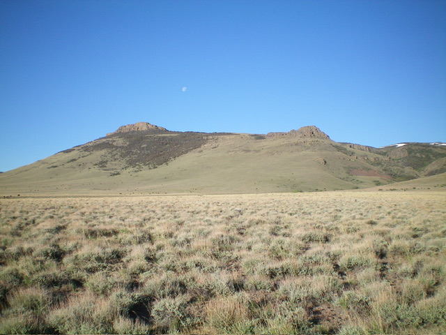
Steamboat is a rugged outcrop located just west of Player Butte in southern Idaho, near the ID/NV border. It is most easily reached from Browns Bench Road to its east. There are currently no recorded ascents of Steamboat. It looks pretty intimidating. USGS Browns Bench South
Access
From US-93 at Rogerson, drive to the center of Rogerson and [signed] 1520N. This is the [paved] Rogerson-Jarbidge highway. Reset your odometer here. Drive 9.3 miles west on the Rogerson-Jarbidge highway to a signed BLM road junction. Go left/south onto this good gravel road (“Browns Bench Road”) and drive about 15 miles south to an unsigned road junction at a creek crossing that is about 0.2 miles north of the Idaho/Nevada border. Park here.
Potential Climbing Routes, Class 3-4
From the 5,970-foot connecting saddle with Player Butte, scramble west across open grass/scrub to reach a patch of mountain mahogany. Bushwhack up through the mountain mahogany to reach the crest of the south ridge of Steamboat at 6,950 feet. Either climb the narrow, steep south ridge to the summit OR skirt the base of the summit block on its west side to reach a gully that leads up to the summit ridge. Climb up the gully and scramble briefly south on the ridge to reach the summit.
Additional Resources

