Elevation: 8,512 ft
Prominence: 172

Climbing and access information for this peak is on Page 255 of the book.
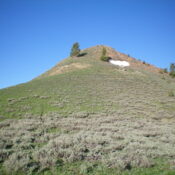
Swede Peak is a handsome, rocky hump that sits at the head of the Buckhorn Creek and Kale Creek drainages. It is overshadowed by its higher neighbors to the north on a long, high ridgeline–Peak 8569 and Mandolin Benchmark (9,189 feet). Due to the gated closure of FSR-130 at Mormon Hill, Swede Peak is no longer a “short hike from the nearest trailhead” as the website indicates. It is a good 2.5-mile hike (one way) with almost 1,000 feet of uphill. It requires an off-trail scramble to reach the top. USGS Star Hope Mine
Access
The Mormon Hill trailhead is located at the top of FSR-130. To reach it, drive north up Copper Creek Road/FSR-134 to a signed junction with the Garfield Canyon Road/FSR-228 (which goes to the Garfield Guard Station and beyond). Go left at this junction to stay on FSR-134. About 0.7 miles farther up FSR-134, reach a signed road junction in a large, open meadow. FSR-134 goes right here and follows Copper Creek. However, it is now closed to motorized vehicles and is only a foot trail.
Go left onto FSR-130 as it begins its steep climb to the Mormon Hill trailhead. A 4WD vehicle is required but high clearance is not necessary. After 2.3 miles from the open meadow, you reach the large trailhead parking area for the [signed] Mormon Hill trailhead (FST-329). There is a horse rail and a bathroom here (7,625 feet). The road is not too bad and people pull horse trailers all the way up here.
Northeast Face, Class 2
The Climb
From the Mormon Hill trailhead, hike northwest up FST-329 (still open to MCs) as it initially follows an old, muddy forest service road. This trail is heavily used by horses. After about 1.3 miles, reach a signed junction with FSR-327, a ridge crest trail that heads right/north the skirts the right/east side of Mandolin Peak and continues on to Peak 9043 and beyond. Continue straight on FST-329. The trail heads uphill and crosses the south ridge of Peak 8569.
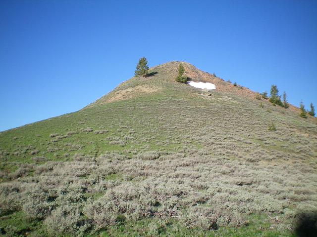
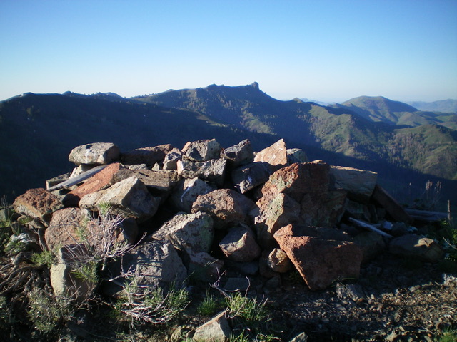
It then drops a bit and traverses the southwest face of Peak 8569 to reach the 8,340-foot connecting saddle between Swede Peak and Peak 8569. From the saddle, scramble southwest up a face of short sagebrush to reach the cairned summit of Swede Peak. Swede Peak is the first peak of a 4-peak adventure that includes Swede Peak (8,512 feet), Peak 8569, Mandolin Benchmark (9,189 feet), and Peak 9043. Peak 8569 is up next.

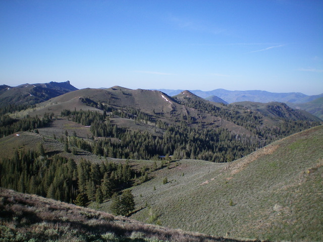
Peak 8569 (left of center) and Swede Peak (protruding hump just right of center) as viewed from the north. Livingston Douglas Photo
Additional Resources
Regions: EASTERN IDAHO->Pioneer Mountains
Mountain Range: Pioneer Mountains
Year Climbed: 1990
Longitude: -113.99329 Latitude: 43.64029

