Elevation: 5,453 ft
Prominence: 303

This peak is not in the book. Published November 2020
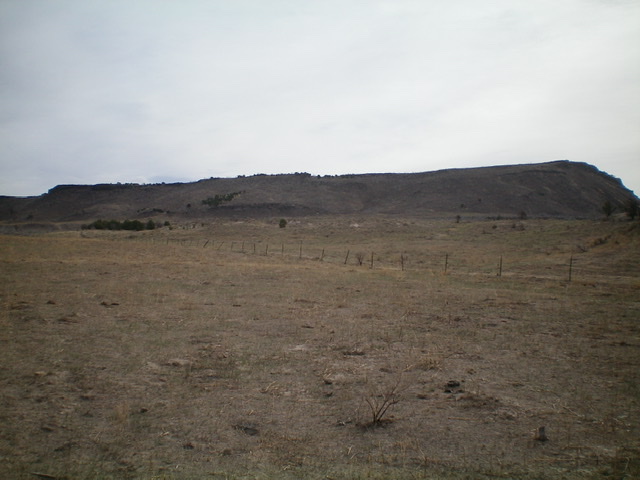
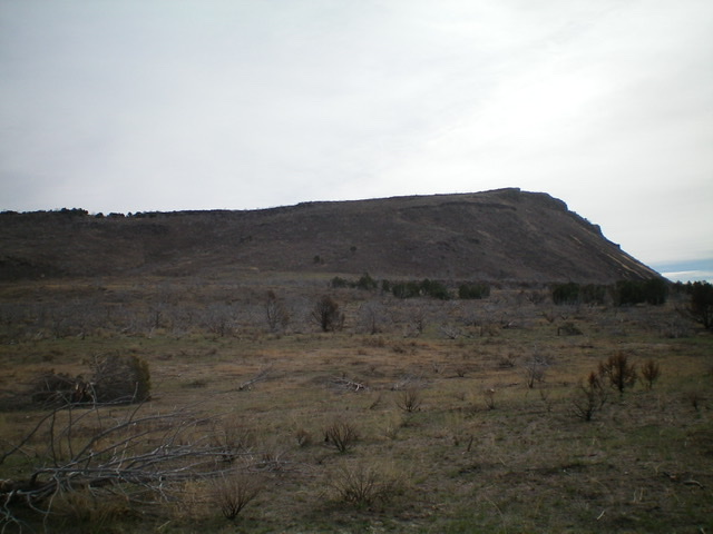
Table Mountain is, as its name implies, a flat, table-like mountain that is located southeast of Juniper, ID. It sits just south of Cow Canyon and is visible from quite a distance and can easily be seen by travelers on I-84 to its west. The easiest ascent routes are from Cow Canyon Road to the east. Other than the fact that it looks like a table, Table Mountain is a relatively insignificant hump that barely qualifies as a ranked summit. USGS The Cove

Table Mountain as viewed from the northwest. See why they call it “Table Mountain”? Livingston Douglas Photo
Access
From the signed junction of [paved] Juniper Road and [paved] Black Pine Road (south of Juniper and Exit 263), drive east on the Holbrook-Black Pine Road/BLM-027 for 2.0 miles. Turn right/south onto [signed] BLM-605 and drive south for 2.9 miles to an unsigned junction. Turn left/east onto an unsigned BLM road and drive 1.2 miles to an unsigned junction. Go right/south onto BLM-670 for 0.2 miles to a signed road junction. Go left/east onto BLM-641 for 0.9 miles and park alongside the road (4,980 feet). Table Mountain is visible from here and is only ¾ mile away.
Northwest Face, Class 2
The Climb
From BLM-641, hike southeast across open terrain (charred as it is) to reach the base of the steep northwest face, skirting the east side of a prominent hump. The terrain is a mix of gapped scrub and scattered dead junipers. It goes quickly. Scramble up the easy but loose talus/scree to reach the summit plateau. Walk right/south to the high point at the southwest corner of the tilted summit plateau. There is a cairn atop the highest boulder. The entire summit area is charred from a forest fire. It looks and smells of death. Not pleasant.
Additional Resources
Regions: SOUTHERN IDAHO->Sublett Range
Mountain Range: Sublett Range
Longitude: -112.85519 Latitude: 42.08519
