Elevation: 9,451 ft
Prominence: 2,391
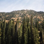
Climbing and access information for this peak is on Page 149 of the book. Updated August 2021
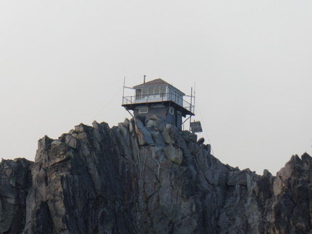
This big peak is a bit civilized with its still staffed fire lookout and a road that leads to the summit. A fire lookout was built on the summit in 1922. The current structure was built in 1956. The road is only open to motorcycles and ATVs and, due to its remoteness, does not see much use. Consequently, this rugged peak is still wild and worth the effort. It’s also a great starting point to climb Peak 9140 and Peak 9165 as well as to view Steel Mountain, the Soldier Mountains and even the Sawtooth Range. Also, check out the Trinity Mountains archives for all the great peaks in this subrange. USGS Trinity Mountain
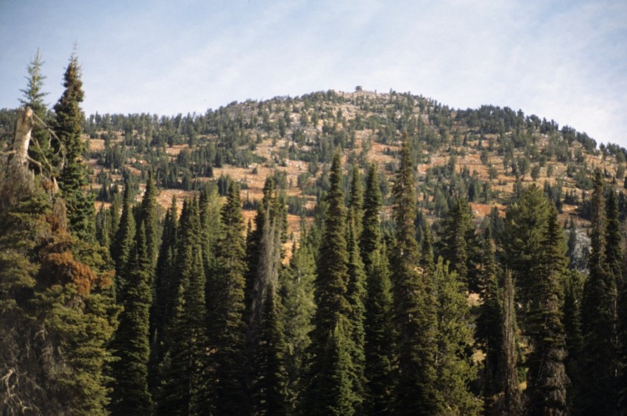
Trinity Mountain as viewed from the west. This photo was taken before the 2012 forest fire,
Access
Featherville, Idaho Access. At the south end of Featherville, turn onto FSR-172 which is signed for Trinity Lakes. Follow FSR-172 for 15 miles to its junction with FSR-129, Trinity Ridge Road. FSR-129 is the Trinity Ridge Road. Turn left/south and follow the road past the various Trinity Lakes and then to the pass between Trinity Mountain and Peak 9037 in 5.0 miles. At the pass turn left onto a rough road that leads east for 0.25 miles to the closed gate. There is parking for up to four vehicles near the gate. These road do get regular maintenance and I have spotted passengers cars on them. Nevertheless, the quality and steepness vary and they can be quite rough in places. A high clearance vehicle with AT tires is recommended. The road above the lakes requires a 4WD.
Southern Access. FSR-129, Trinity Ridge Road [(E)(2.2) Page 155] leads up from Anderson Ranch Reservoir to the pass between Trinity Mountain and Peak 9037. It is a rough road that is often in need of major repairs. A 4WD is required.
Trinity Mountain Road, Class 1
This road leads from the gate to the summit in 1.8 miles gaining 960 feet of elevation along the way. A trail climbs the last hundred feet to the summit.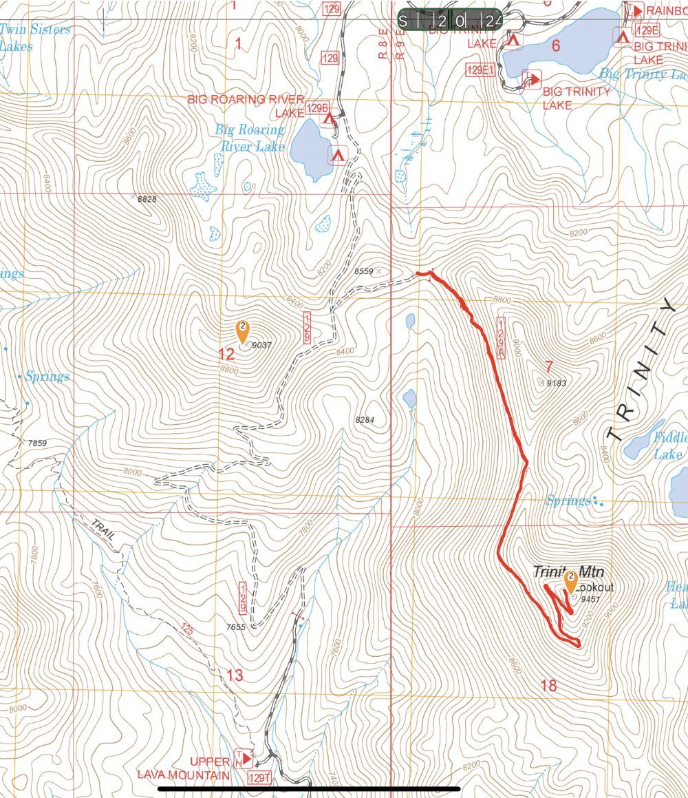
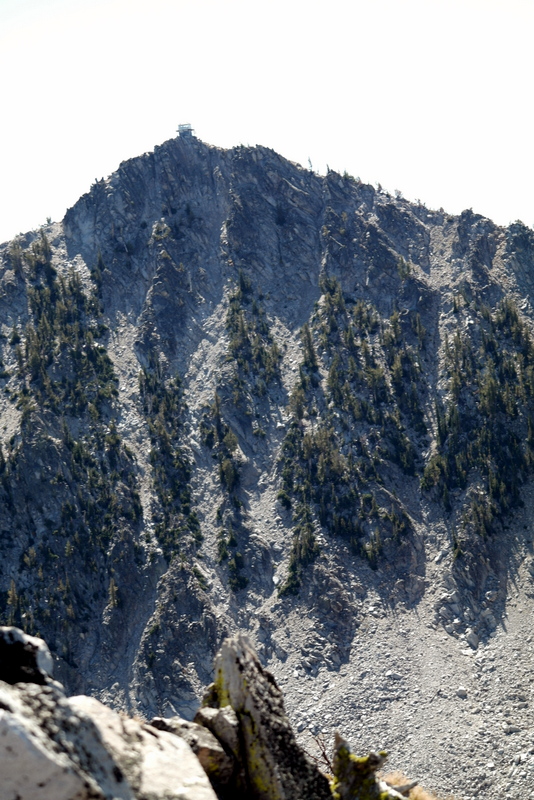
The North Face of Trinity Mountain as viewed from Fiddlers Perch.
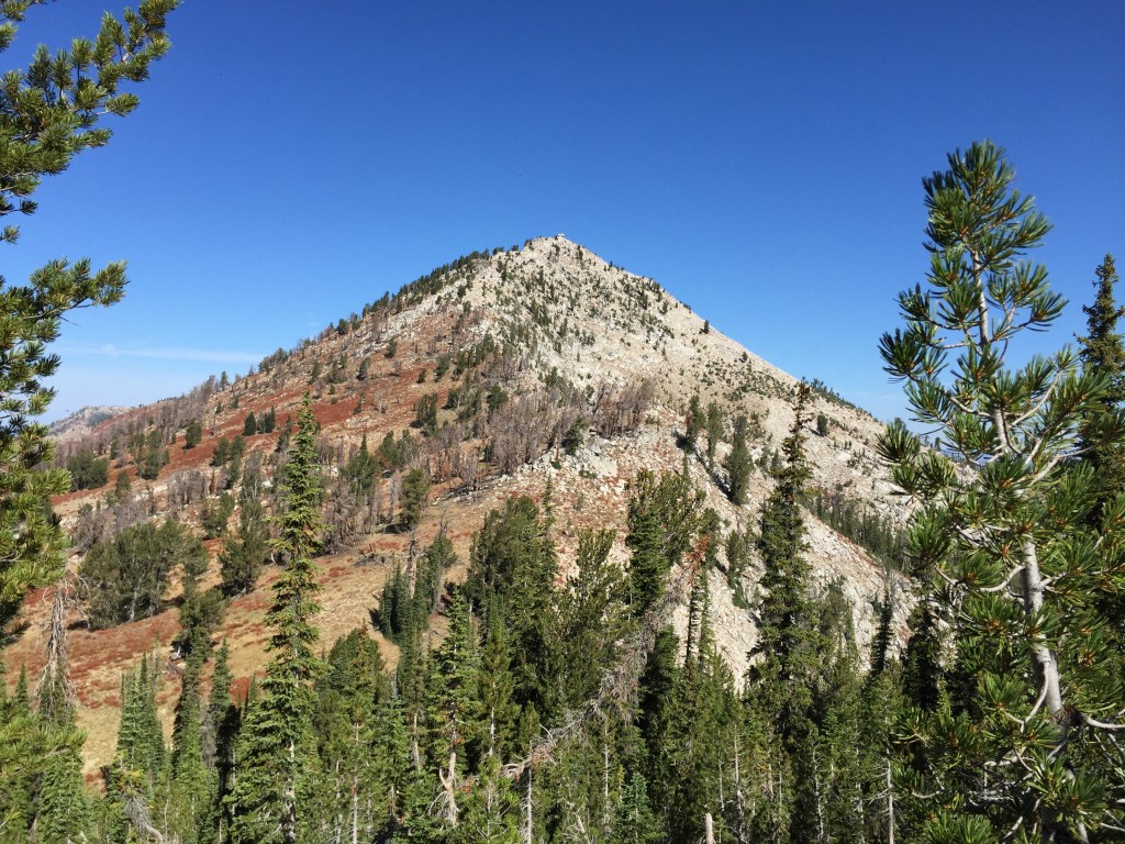
Trinity Mountain as viewed from the south.
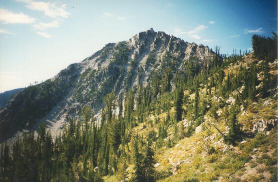
Another view of Trinity Mountain from the slopes of Fiddlers Perch. Dan Robbins Photo
Additional Resources
Regions: Boise Mountains->Trinity Mountains->WESTERN IDAHO
Mountain Range: Boise Mountains
Year Climbed: 1988, 2015
Longitude: -115.42901 Latitude: 43.59879
Pingback: Boise National Forest Fire Lookouts - IDAHO: A Climbing Guide