Elevation: 3,228 ft
Prominence: 98

This butte is not in the book. Published November 2024
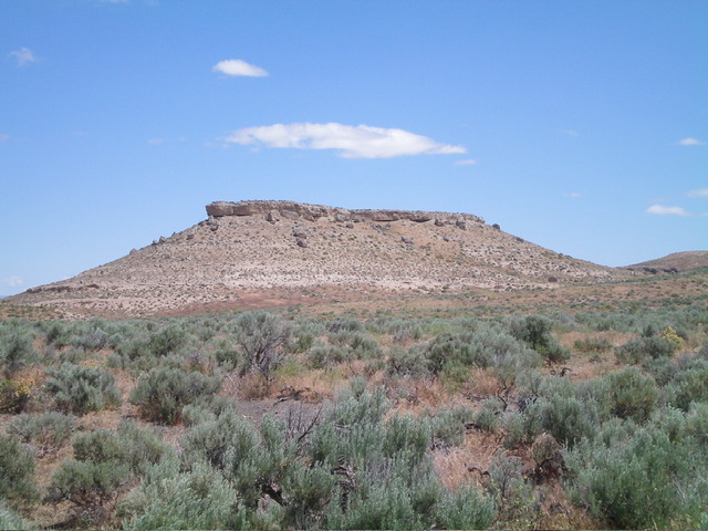
The Twin Buttes sit west of Bruneau Canyon and east of Hot Creek. Twin Buttes East (3,230 feet) is two feet higher than Twin Buttes West (3,228 feet). Both buttes can be easily climbed from Hot Creek Road to the west. USGS Crowbar Gulch
Access
From ID-78 in the center of the small hamlet of Bruneau, drive southeast on [signed] Hot Springs Road for 7.4 miles to a signed junction with Hot Creek Road. Turn right/west onto Hot Creek Road and reset your odometer. At 0.2 miles, bear right/northwest at a road fork. At 0.6 miles, turn left/south at an unsigned road junction. At 4.5 miles, reach an unsigned junction with a 2-track road.
Either park here (smart move) or drive 0.2 miles southeast on the overgrown, poor 2-track road (as I foolishly did) and park alongside the road (2,940 feet and 42⁰44’39”N, 115⁰45’34”W). This is the first leg of a 2-peak adventure that includes Twin Buttes West and Twin Buttes East. It covers 3.0 miles with 500 feet of elevation gain round trip.
South Face, Class 2+
The Climb
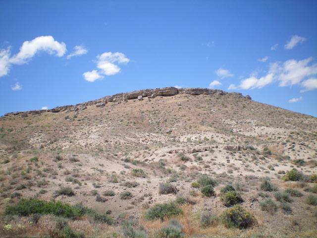
From the improvised pullout, hike southeast on the badly overgrown 2-track road for just over ½ mile to reach the southwest side of rugged Point 3212. Leave the road here and bushwhack east up a sagebrush gully to reach a flattish saddle southeast of Twin Buttes West. Descend a bit to reach the base of the south face at its east end. Scramble north up the face through sagebrush to reach a break in the summit cliff band and scramble up onto the summit plateau.
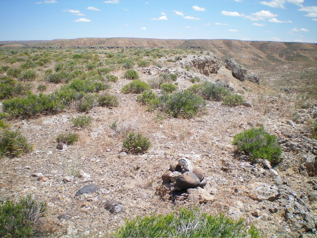
The climb up onto the plateau requires scrambling up some crumbly rock and boulders (Class 2-Class 2+). There are a few different chutes to choose from to carry out this part of the climb. The USGS topo map makes the cliff band on the south face look impenetrable, but it is not. Once atop the summit plateau, you are at the southeast corner of the summit plateau and atop the official high point of Twin Buttes West. However, it seems that the actual high point is about 100-150 feet to the west (about five feet higher) and is close to the west cliffs on a prow. I built a cairn there and returned to the official high point area.
From the southeast corner of the summit plateau, descend back down through the cliff band and descend south then southeast to reach a critical dry sagebrush gully that heads left/northeast toward Twin Buttes East. Descend this gully then traverse north-northeast across one or two other minor dry gullies to reach the base of the southwest face of Twin Buttes East. This is the low point in the traverse between Twin Buttes West and Twin Buttes East. It concludes the first leg of today’s 2-peak adventure. Twin Buttes East is up next.

The south face of Twin Buttes West and its intimidating cliff band. This was my ascent route. Livingston Douglas Photo
Additional Resources

