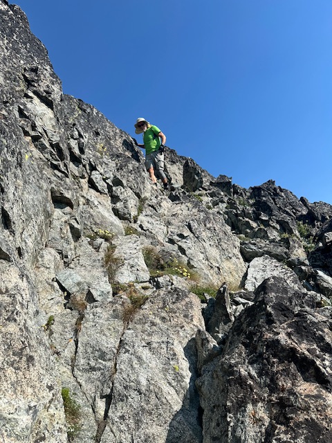
Elevation: 8,514 ft
Prominence: 534
This peak is not in the book. Published December 2024
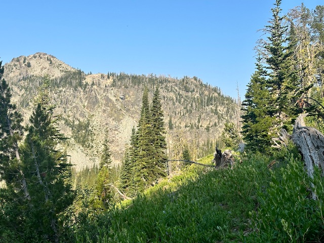
White Mountain is located in the southern Seven Devils Mountains west-southwest of Black Lake. The peak rises up above Joes Gap and is directly south of Peak 8540. USGS Purgatory Saddle
Access
There are two ways to access this peak by trail. See the Southern Seven Devils Access Page for road directions (FSR-112) to the two trailheads discussed below.
Black Lake. Black Lake is located at the end of FSR-112. There are two ways to access this peak by trail. FST-108 climbs west from Black Lake to a small tarn at roughly 7,840 feet. At this point the trail junctions with FST-218. FST-218 climbs over a pass at 8,160 feet. From the pass the trail contours west to Joes Gap which is located at the base of White Mountain’s north ridge.
Deep Creek Trailhead. The second way to approach White Mountain is via FST-173. This trail leaves FST-112 at a well marked trailhead Two trails leave from this trailhead. FST-173 is a well maintained trail that contours NNW and then north to a junction with FST-218. The advantages of this route includes the shorter drive and the fact that FSR-112 often is not accessible past this trailhead until mid-July.
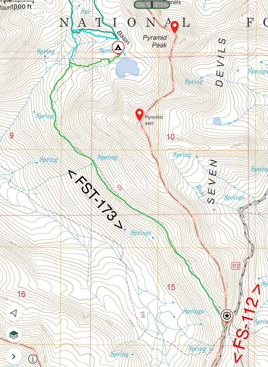
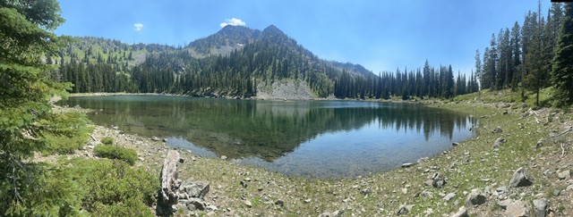
FST-173 is a well maintained trail. It is 2.9 miles with 440 feet of elevation gain from the trailhead to the unnamed lake below Pyramid Peak which is by far the best place to camp in the drainage. The trail does not lead to the lake. We found the bushwhacking to reach the lake on both routes to be tedious but not difficult.
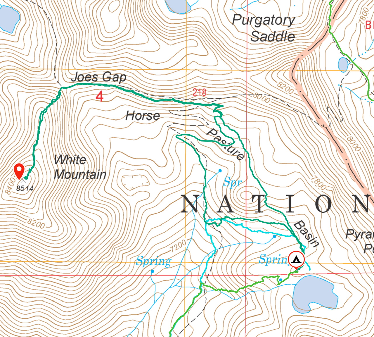
From the lake to the summit of White Mountain, the route covered 3.7 miles with 1,200 feet of elevation gain round trip.
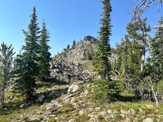
North Ridge, Class 3
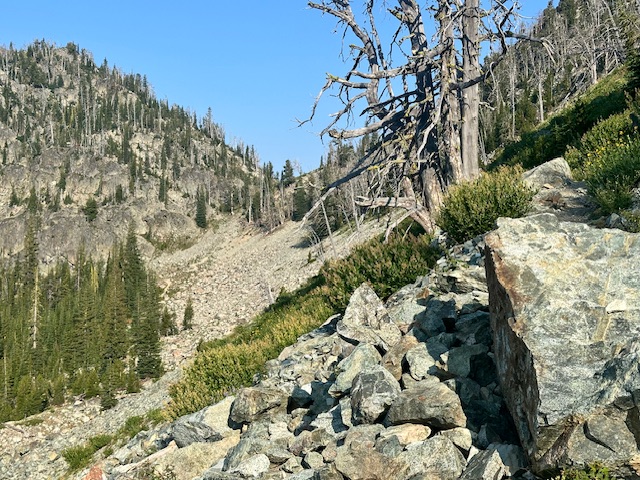
From Joes Gap, the peak’s north ridge rises to the summit in just over 350 feet. The fist 250 are the steepest part of the climb and this section is blocked by brush and stunted trees in places. The last hundred feet of the peak is a messy rock pile which one short Class 3 step.
Additional Resources
Mountain Range: Seven Devil Mountains
Year Climbed: 2024
Longitude: -116.5910 Latitude: 45.1835
