Elevation: 5,714 ft
Prominence: 344
This peak is not in the book. Published November 2022
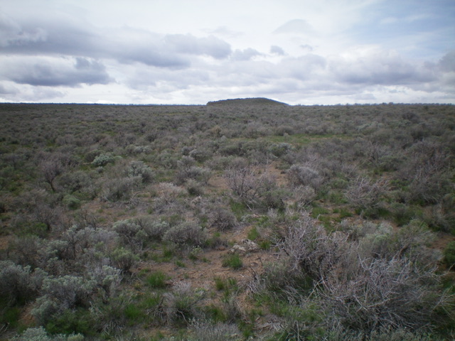
Wildhorse Butte is a rather insignificant hump that is located just west of the Arco-Minidoka Road about 11 miles south of Arco, Idaho. It is most easily climbed via its east face. This climb is entirely on BLM land. USGS Fingers Butte
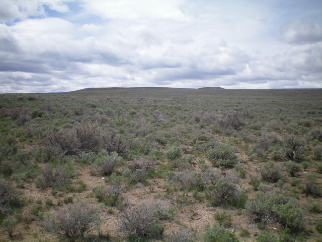
Wildhorse Butte as viewed from the east. The summit hump is at the far right/north end. Livingston Douglas Photo
Access
The Arco-Minidoka (A-M) Road begins southwest of Arco, just off US-20. From the junction of US-20 and US-93 in downtown Arco, drive west on US-20 for 1.9 miles. Turn left/south onto [signed] 3100W. This is the A-M Road. Drive 10.2 miles south then southeast on the A-M Road to a weak 2-track road on the right/west side of the road. Park here (5,347 feet). GPS coordinates: 43⁰28’42”N, 113⁰15’00”W.
East Face, Class 2
The Climb
From the road junction, bushwhack west through gapped sagebrush to the summit, which is located at the right/north end of an elongated summit ridge. The official summit has a pole on top and triangulation posts nearby but a rocky outcrop just to its north has a torn-down cairn and appears to be slightly higher. I could not locate a USGS benchmark on the summit.
The summit hump of Wildhorse Butte. Livingston Douglas Photo
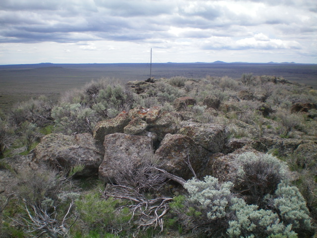
The summit of Wildhorse Butte. Livingston Douglas Photo
Additional Resources