Elevation: 9,602 ft
Prominence: 982

Climbing and access information for this peak is on Page 262 of the book. Updated October 2018
Wildhorse Peak is a ranked summit and provides one of the best viewpoints in Idaho. Its summit is perched at the East End of the White Knob Mountains. It is bordered to the south and east by the Pioneer Mountains. If this were not enough, the Lost River Range raises its lofty peaks to the east. Please note that the fire lookout is not the high point of this peak. USGS Harry Canyon
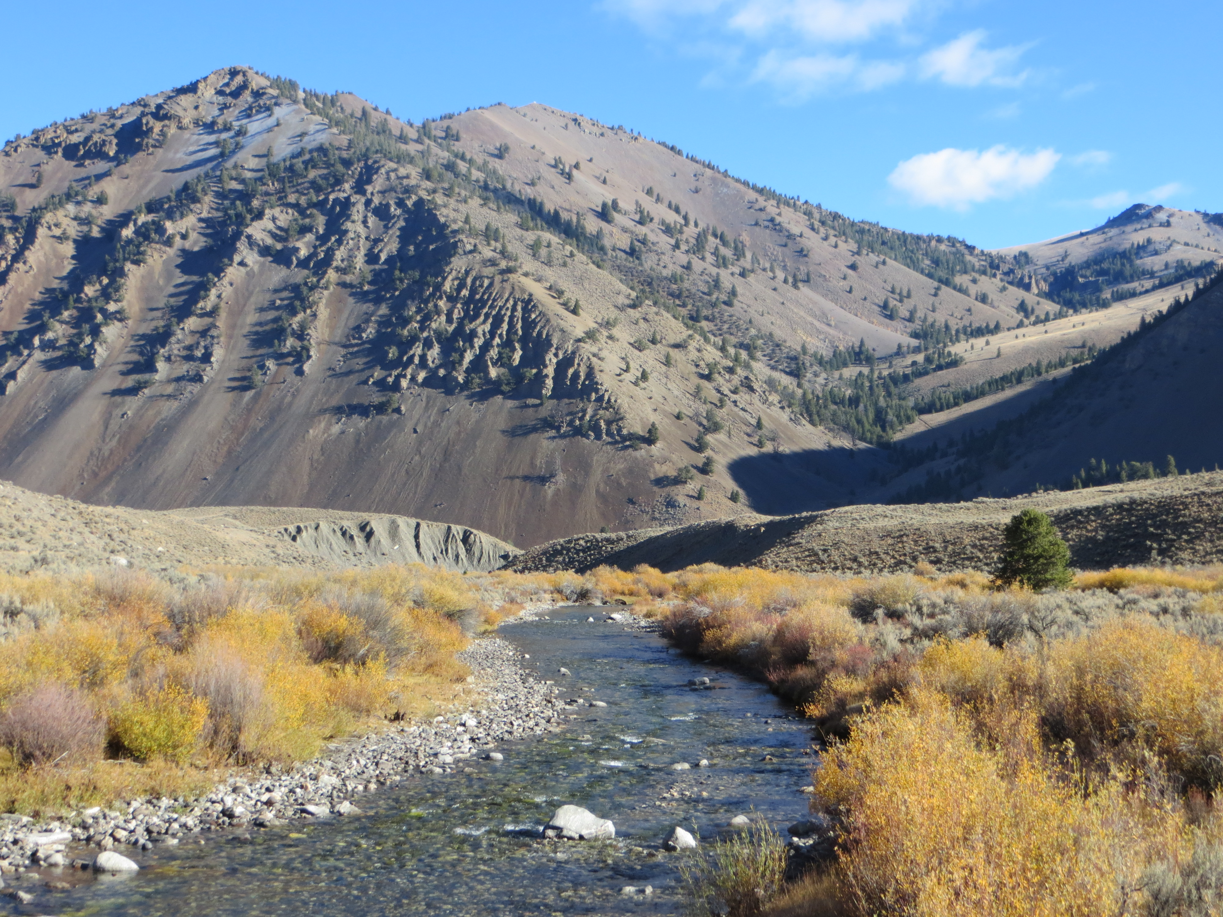
Wildhorse Peak and the Big Lost River. Steve Mandella Photo
South Route, Class 2+
Most of the route follows a road/pack trail (Class 1) until the summit area where there is a little off-trail scrambling. The following photo essay follows the route to the summit. Livingston Douglas’ route description is found below. Farther below, Steve and Margo Mandella provided a track showing the false summit bypass and a few of the photos from their 2018 trip.
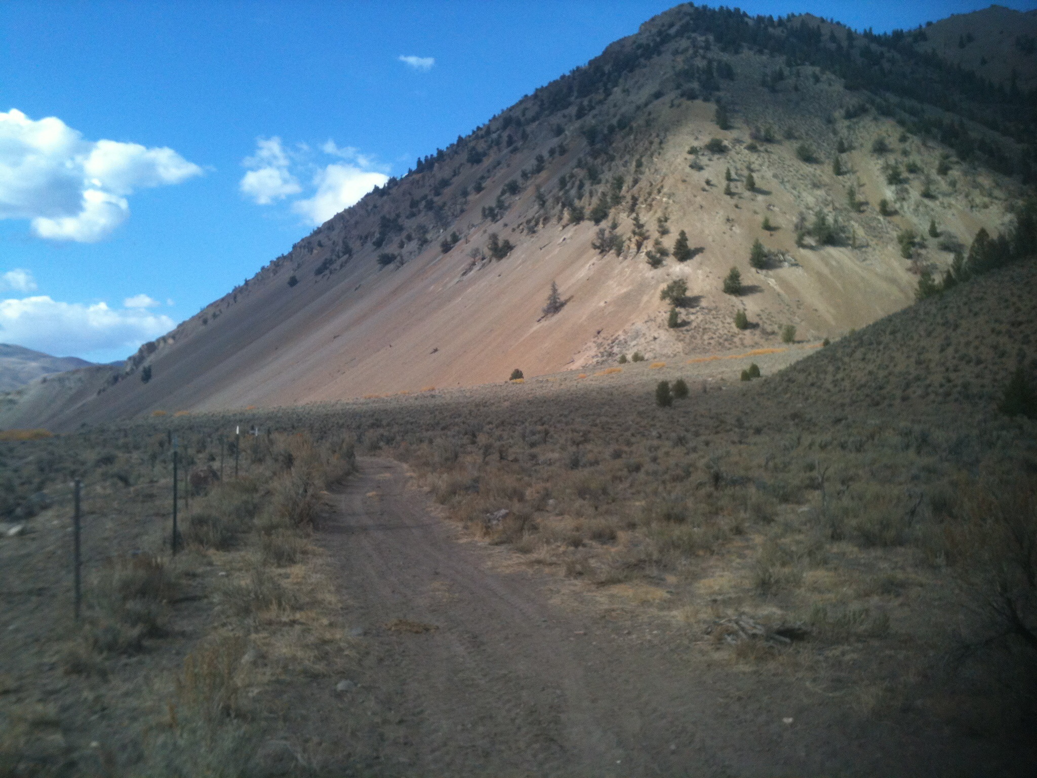
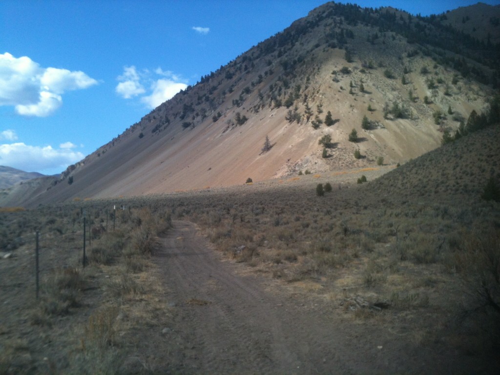
The route starts just after you cross the Big Lost River and follows this road toward the mountain.
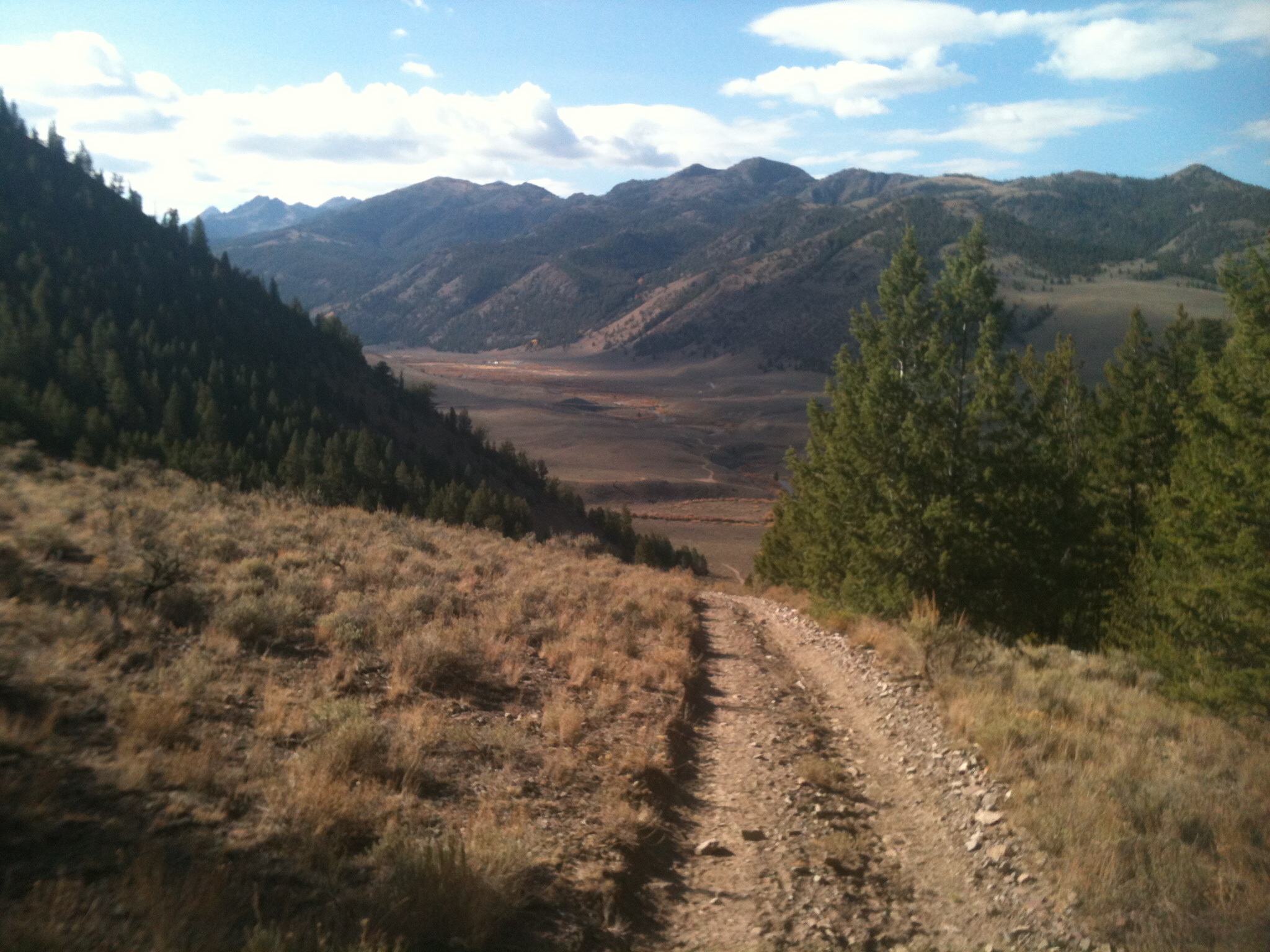
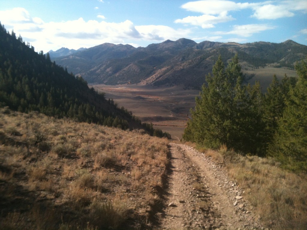
The road goes up quickly and the view just gets better with every step.
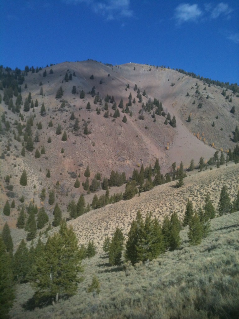
The first view of the lookout above.

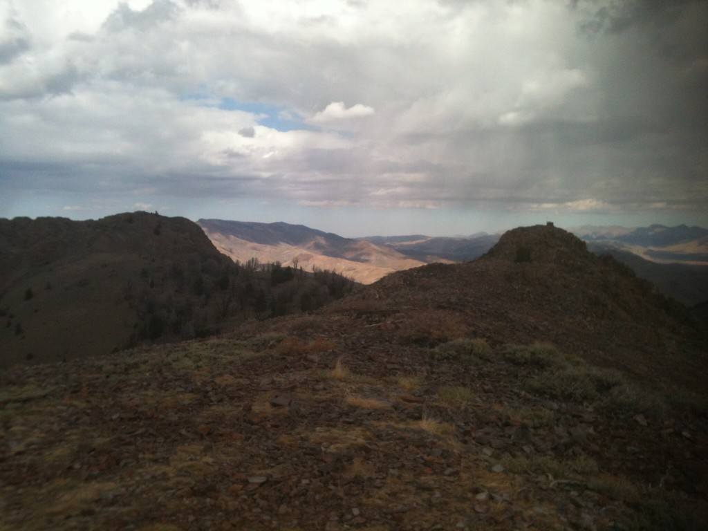
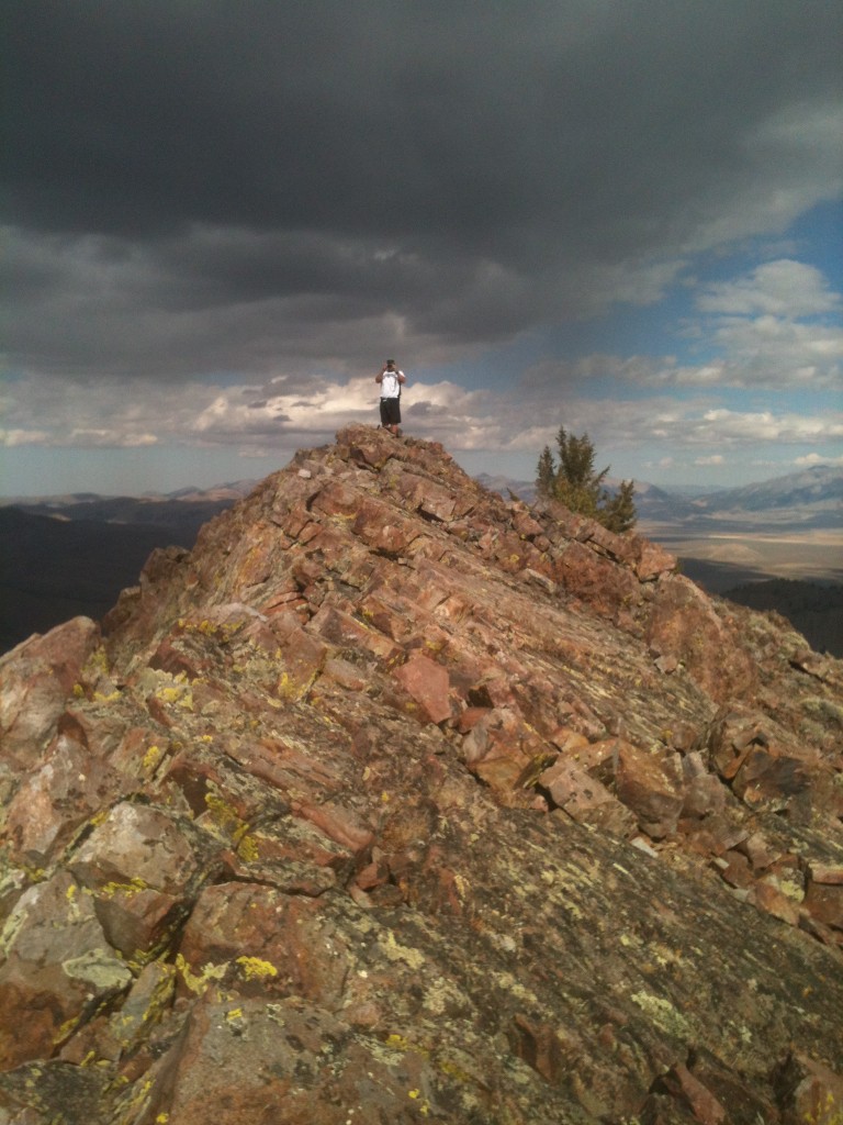
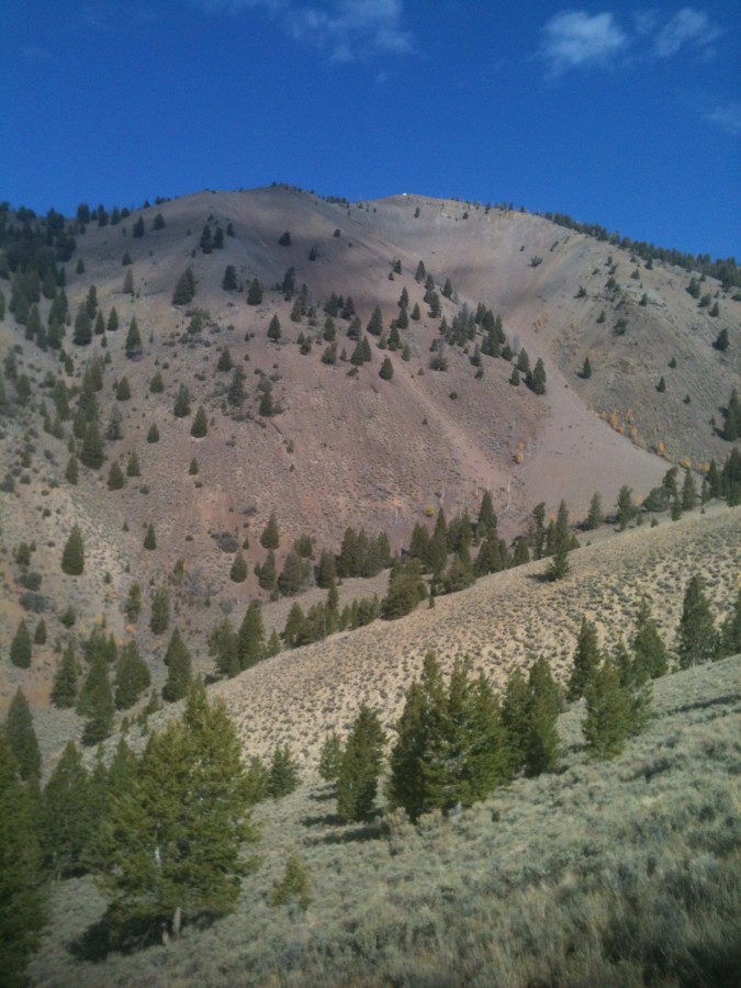
The peak’s summit area spreads out for acres.
The Wildhorse Fire Lookout is NOT the peak’s high point. The summit of Wildhorse Peak is a 0.5-mile easy scramble north from the fire lookout and is separated from the fire lookout by a 9,420-foot saddle.
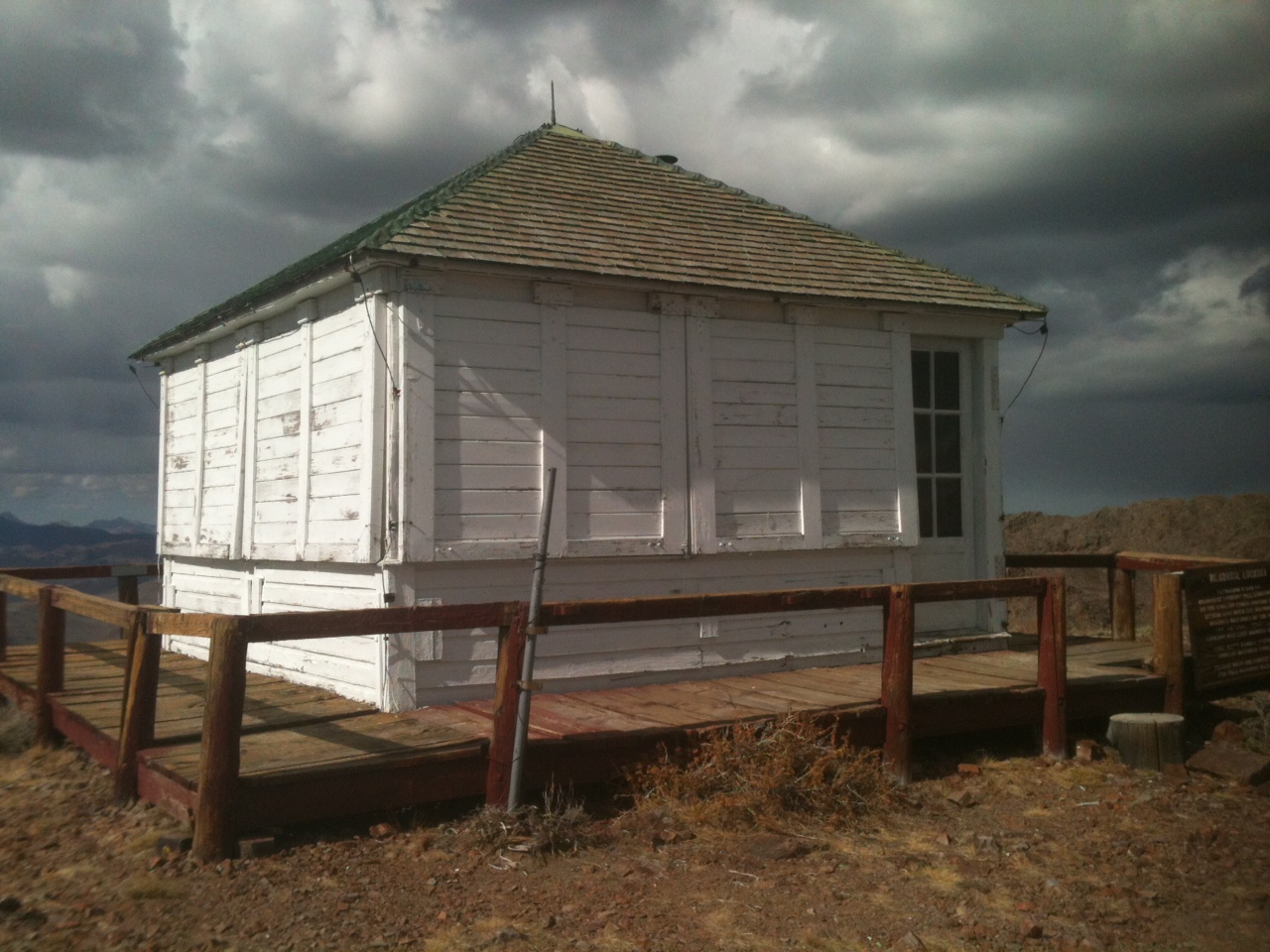
The fire lookout
South Ridge, Class 2+ by Livingston Douglas
Access
Wildhorse Lookout Trail [(B)(1.1)(a) on Page 265]
The Climb
Hike up the Wildhorse Lookout Trail for 4.2 miles to the Wildhorse Fire Lookout (9,546 feet). The trail initially drops 40 feet to cross the raging East Fork Big Lost River on a solid footbridge suitable for ATVs. From the fire lookout, Wildhorse Peak lies 1/2 mile to the north and is separated by a choppy, rather tedious Class 2+ ridge with a saddle in between. This ridge traverse takes just under 20 minutes each way. The fire lookout is over 50 feet lower in elevation than the true summit.
There is no trail from the fire lookout to the true summit. From the fire lookout, scramble north along the ridge, skirting a small ridge point early on. Descend rocky terrain down to a saddle of sagebrush and blowdown (9,420 feet). Continue north then northwest, scrambling up choppy, rocky terrain (a mix of talus and boulders) to reach the small summit of Wildhorse Peak (9,602 feet).
South Ridge, Additional Information (October 2018), Margo Mandella
Steve and I highly recommend hiking to, and checking out, both the historic lookout and the old weather (?) station before climbing to the Peak’s real summit. The lookout is open (the door has a hook/eye closure). It’s a good place for lunch or to shelter from a passing squall. However, save yourself some time and avoid re-ascending the choppy rocky terrain back to the lookout on your descent by bypassing the false summit. A mellow saddle behind the false summit lets you connect from the true summit to the main trail. If you are short on time in general, bypass the lookout/false summit entirely using the cutoff in both directions.
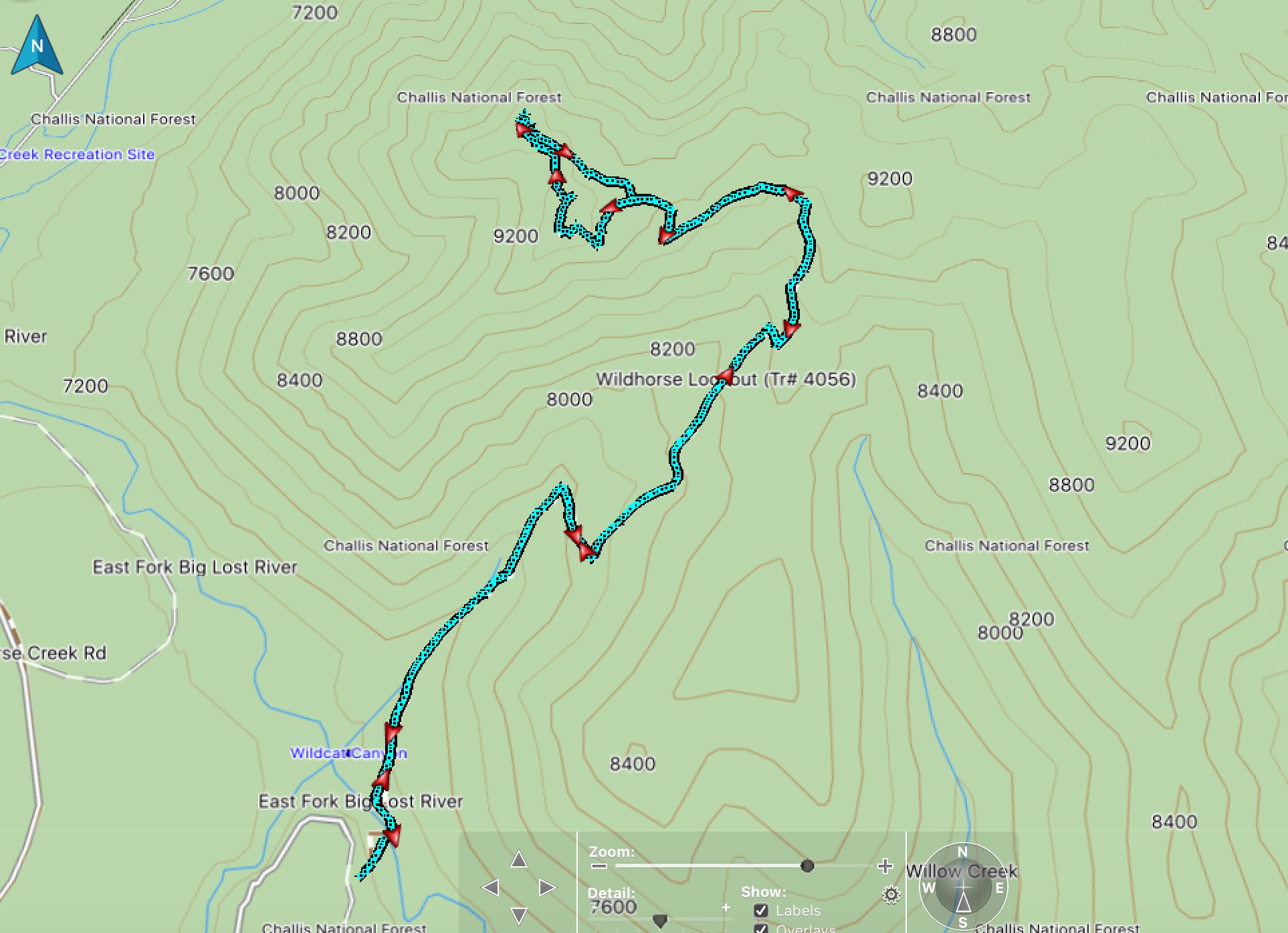
Steve Mandella’s track
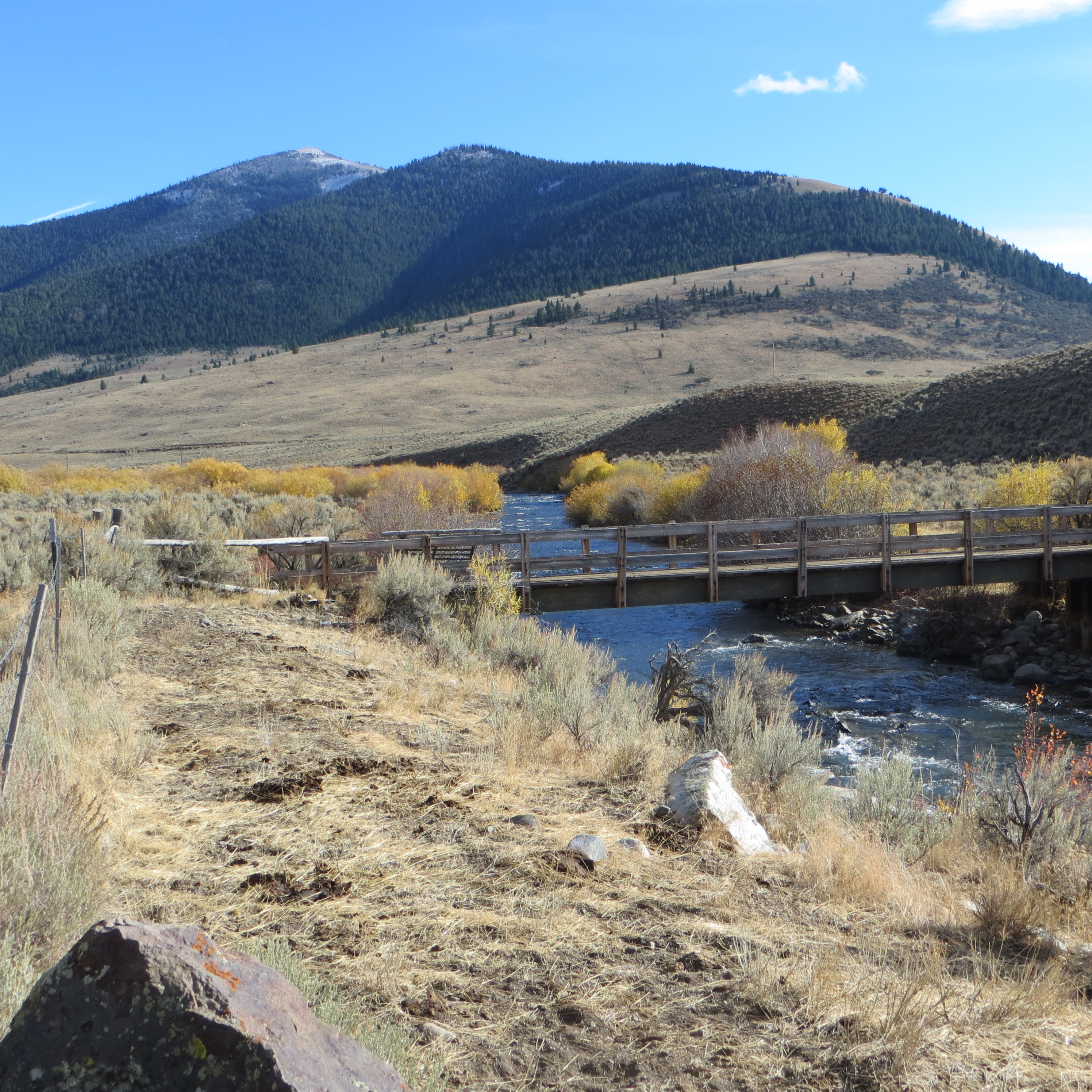
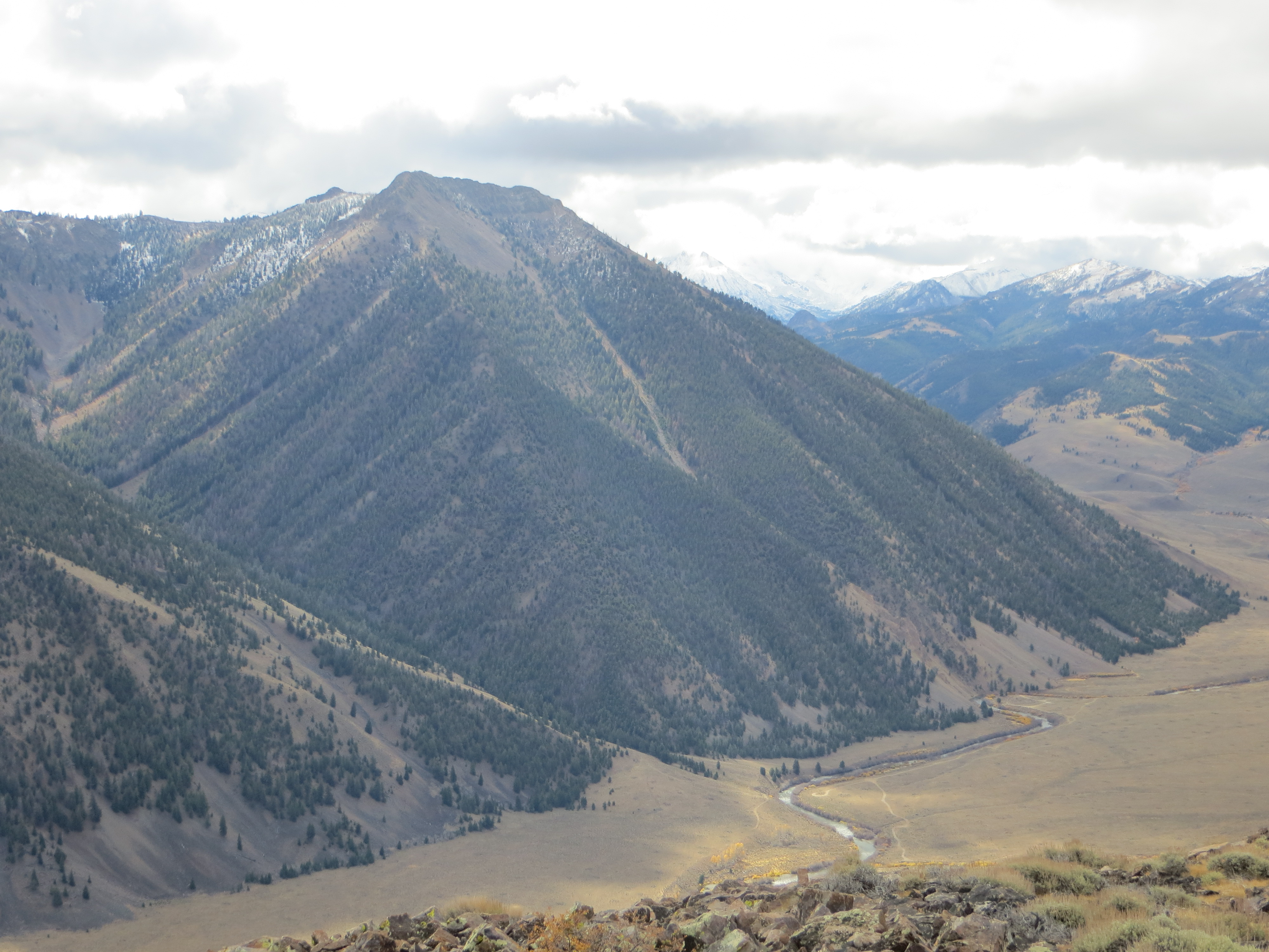
The bridge crossing of the East Fork Big Lost River. Rosencrance Peak (back left) and West Rosencrance Peak are in the background. Steve Mandella Photo
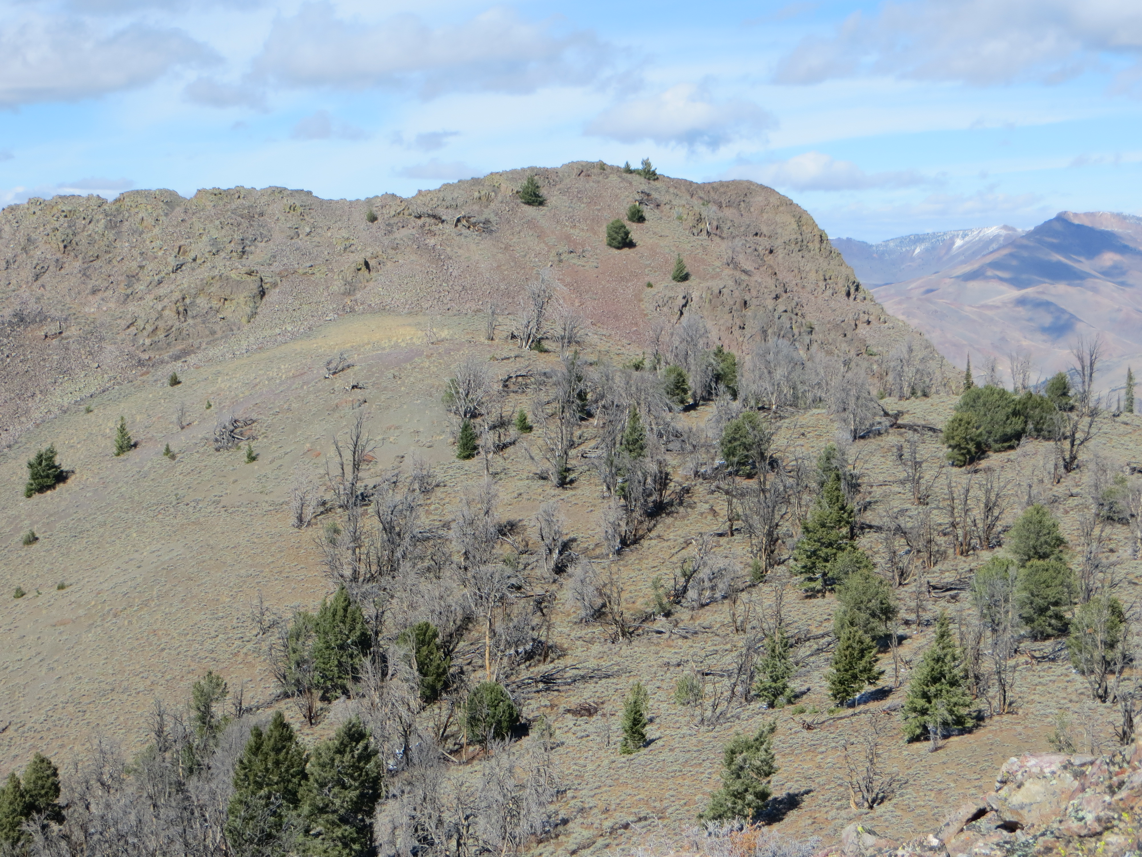
The true summit of Wildhorse Peak. Aim for the green trees for a direct ascent. Come back to the north of the false summit using the saddle to connect back to the main trail. Steve Mandella Photo
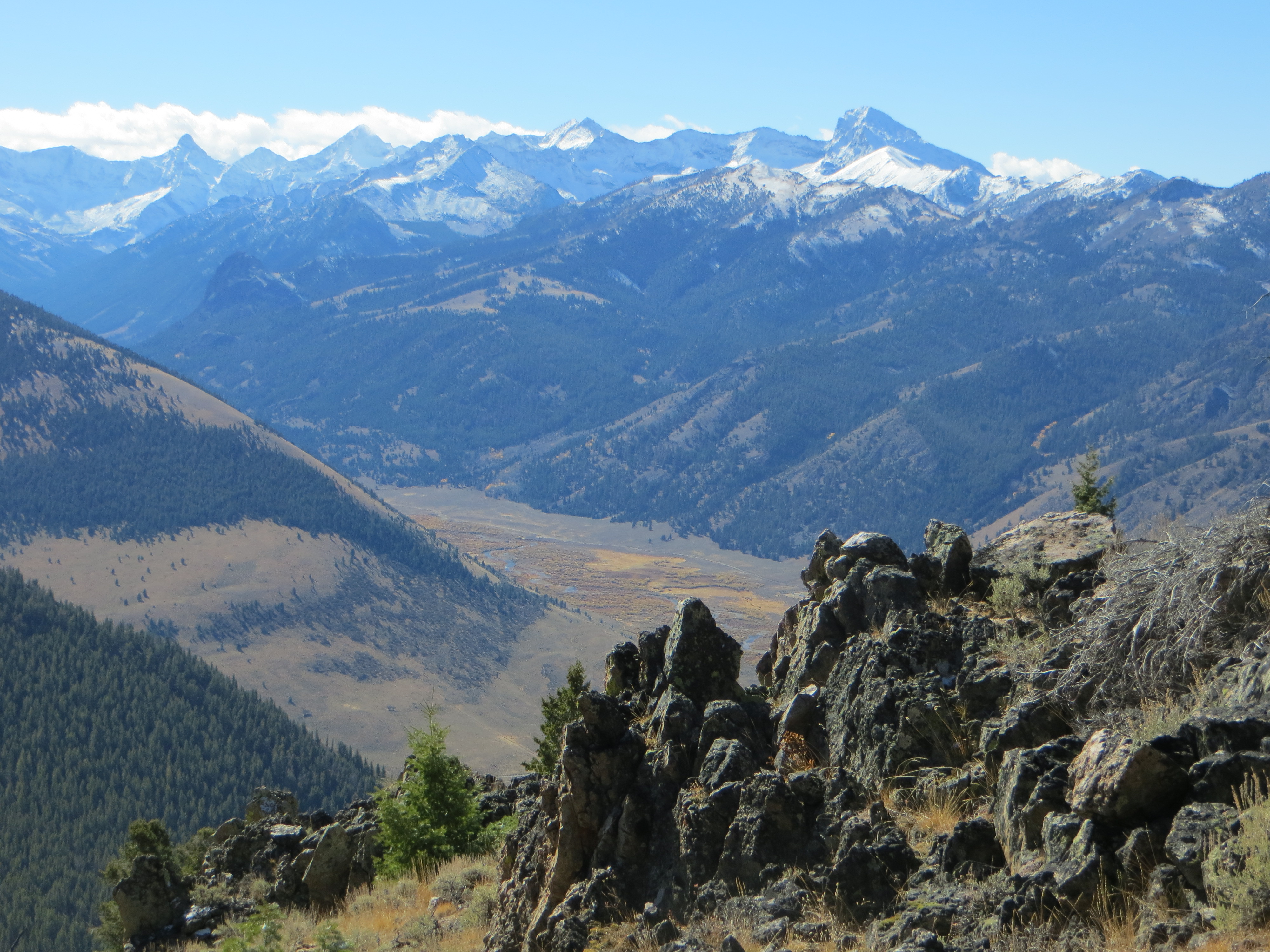
Beautiful views from the ascent of Wildhorse Peak. Steve Mandella Photo
The tiny white lookout on the false summit of Wildhorse Peak. The East Fork Big Lost River flows peacefully along the valley floor. Steve Mandella Photo
Additional Resources