Elevation: 8,972 ft
Prominence: 232

This peak is not in the book. Published November 2024
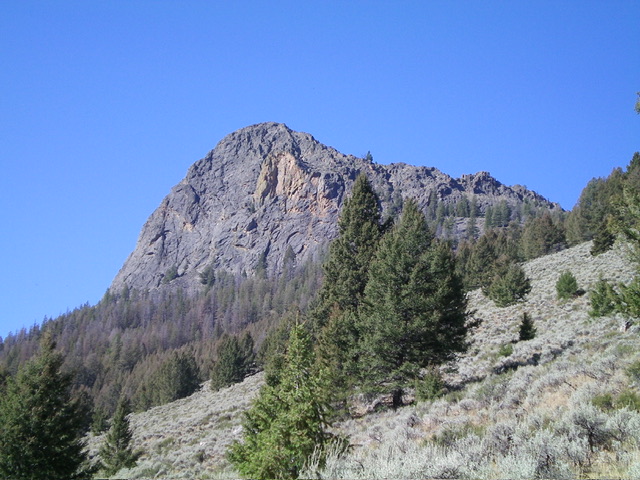
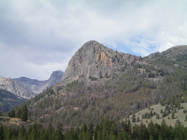
Wildhorse Rock is a magnificent piece of rock on the east ridge of Little Kane Peak. It is quite visible from Wildhorse Canyon Road to its east/northeast. While not officially named, this rocky outcrop is well-visited and has two large cairns on its rocky summit. Wildhorse Rock is most easily climbed via its Class 3 north ridge. But getting to that ridge requires an unpleasant bushwhack. USGS Standhope Peak
Access
Same as for Peak 10104. This is the third leg of a 3-peak adventure that includes Peak 10104, Little Kane Peak (10,184 feet), and Wildhorse Rock. It covers 6.5 miles with 3,575 feet of elevation gain round trip.
West Face/Upper North Ridge, Class 3
The Climb
From the 8,740-foot connecting notch with Little Kane Peak (10,184 feet), scramble up and left/northeast across the steep west face (Class 3 in this section) to quickly reach the rocky, steep north ridge. Climb right/south up the [surprisingly easy] ridge crest, staying on the right/west side of the ridge crest for the easiest rock. You will quickly reach the double-cairned summit of Wildhorse Rock. The summit offers magnificent views of Little Kane Peak, Peak 10104, and Wildhorse Canyon.

Pic #17: Wildhorse Rock and its rugged, serrated north ridge (skyline right of center) as viewed from the northeast. The north ridge was my descent route. by Livingston Douglas
North Ridge/Northwest Face, Class 3
The Descent
From the summit, descend the choppy ridge rock on the north ridge down to a few massive ridge towers. Exit the ridge at these towers and descend left-ish/northwest on boulders/talus with scrub mixed in (not too bad) in a steep-ish drop into a pine forest and a wet drainage. Head north down through the thick pine forest and bash through a fair amount of deadfall to reach a stream crossing. Jump the small stream and bushwhack northeast across an open, grassy patch. Angle right-ish/east-northeast to reach a shoulder on the left/north side of the drainage. The narrow drainage opens up and becomes quite wide.
Follow a game/cattle trail on the right/south side of this shoulder and work your way left-ish (northeast and/or north) in mostly forested terrain which becomes a slope of open sagebrush. Look for game/cattle trails in the sagebrush to make progress northeast and diagonally downward toward Wildhorse Creek. Find and follow a good cattle trail northward as it parallels Wildhorse Creek, well above the creek drainage. From the cattle trail, descend right/east down to an old 2-track on the west side of the creek once it appears. Follow the remnants of the old 2-track in grassy terrain northward back to the road junction and your parked vehicle.
Additional Resources
Regions: EASTERN IDAHO->Pioneer Mountains
Mountain Range: Pioneer Mountains
Longitude: -114.0995 Latitude: 43.8394
