Elevation: 7,660 ft
Prominence: 760
Climbing and access information for this peak is on Page 86 of the book. Please note the revised elevation. Updated September 2018
Williams Peak is the highest point in the Williams Range, which is a subrange of the Bitterrroot Mountains. It is most often bagged by climbers on their way to Rhodes Peak. Access and route information for the Class 3 route to the summit of Williams Peak is found on the Rhodes Peak page. USGS Rhodes Peak
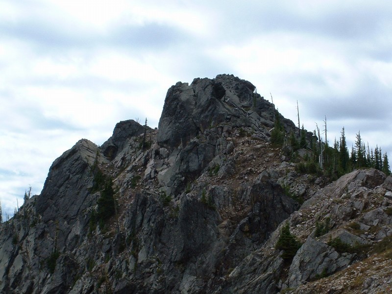
Getting close to the summit of Williams Peak. It is easier than it looks with just one Class 3 move.
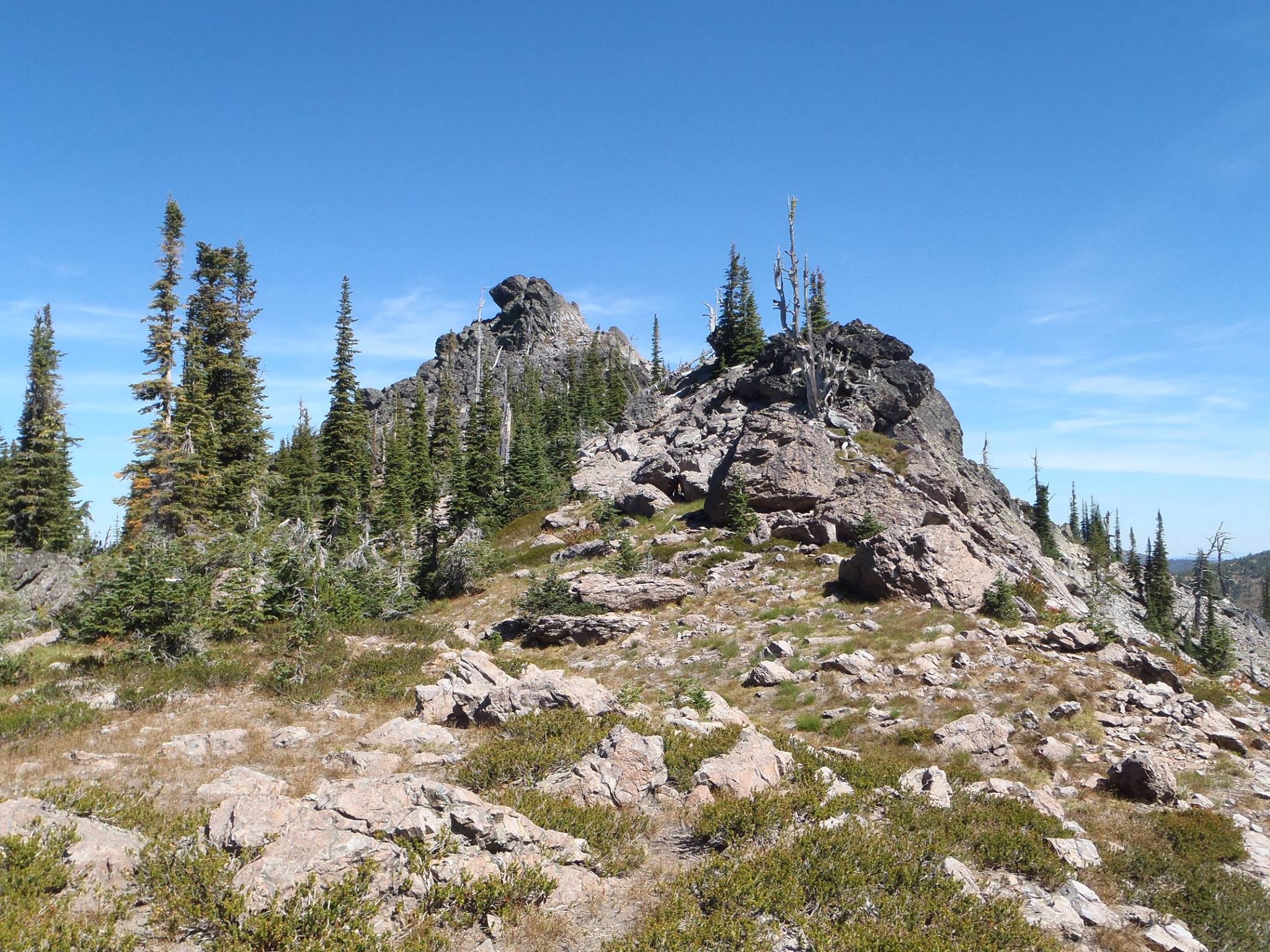
The Williams Peak summit block has a short Class 3 section. Dan Robbins Photo
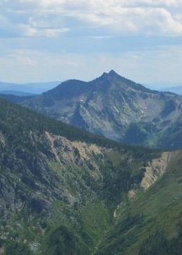
Williams Peak as viewed from Shale Mountain. Dan Saxton Photo
Additional Resources
Regions: Bitterroot Mountains->NORTHERN IDAHO->Williams Range
Mountain Range: Bitterroot Mountains
Longitude: -114.79939 Latitude: 46.65609