Elevation: 4,419 ft
Prominence: 349

This butte is not in the book. Published November 2024
Winter Camp Butte is a rather insignificant hump (though it is a ranked summit) on the Snake River Plain pretty much in the middle of nowhere. It can be reached by a service road that goes all the way to the antenna-clad summit. USGS Pot Hole Butte
Access
From ID-78 in the center of the small hamlet of Bruneau, drive south on [signed] Hot Springs Road. At 7.9 miles, the road bends left/east. At 12.9 miles, reach a signed junction (to the left) with Castleford Road (signed for the “Saylor Creek Range”). Continue straight/southeast on Hot Springs Road. At 15.4 miles, reach a signed junction (to the right/southwest) with Bruneau Canyon Overlook Road. Continue straight on Hot Springs Road. At 21.8 miles, reach an unsigned junction with a 2-track road heading left/east.
Go left/east here onto the 2-track road. This is the service road that leads to the summit of Winter Camp Butte. Reset your odometer at this road junction. At 1.8 miles, reach an unsigned junction with a very weak 2-track road heading straight/east. Go right/southeast on the good service road. At 2.2 miles, reach the end of the service road at the fenced summit area (a military communications site). Park just outside the fencing (42⁰37’39”N, 115⁰30’34”W). LOJ shows Winter Camp Butte on BLM land (and it is) even though the fenced summit is part of the nearby Saylor Creek Air Force Range. There is no signage prohibiting driving up to the fenced summit area.
Winter Camp Butte is a rather insignificant hump (though it is a ranked summit) on the Snake River Plain pretty much in the middle of nowhere. It can be reached by a service road that goes all the way to the antenna-clad summit.
North Face, Class 1
The Climb
From the parking area outside the fence, walk around the outside of the fence to find the USGS benchmark on the northeast corner of the fenced area. The benchmark is on ground that is outside the fenced area. Alternatively, one can scramble up the east side of Winter Camp Butte from a BLM road that has a large sign for “Winter Camp Butte” along it. That route is a sagebrush bushwhack and has no road to the top.

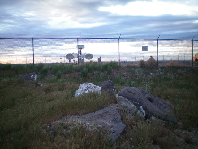
These boulders are probably the high point of Winter Camp Butte. They sit outside the west side of the fenced summit area. Livingston Douglas Photo

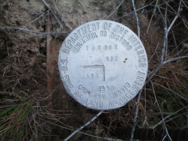
The benchmark atop Winter Camp Butte is just outside the northeast corner of the fenced summit area. Livingston Douglas Photo
Additional Resources
