The Wooley Range is in the northwest quadrant of the extensive Peale Mountains of southeastern Idaho. It is located southeast of Henry, Idaho. The Wooley Range is bounded on the east by the Enoch Valley and the Rasmussen Valley. The northern boundary is the Henry Cutoff Road. The range is bounded on the west by Blackfoot Reservoir and to the south by Blackfoot River Road. This area is a mix of public and private land, so be careful. Only six of the eleven ranked summits in the Wooley Range are on public land. And three of the six peaks on public land may be blocked by an active phosphate mining operation.
USGS Maps: Henry, Lower Valley, Wayan West

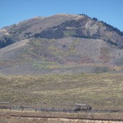
Wooley Range HP (just left of center) as viewed from the southeast ridge of Peak 7730 to its north. Livingston Douglas Photo
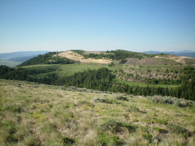
The terrain in the Wooley Range is a mix of field grass, sagebrush, mountain mahogany, pines/aspens, some rocky outcrops, and underlying scree/gravel. There are few, if any, trails. You are more likely to be following cattle trails than human ones. The bushwhacking here can be quite difficult and the underlying scree/gravel can be steep and loose, due in part to previous phosphate mining operations. The publicly-accessible peaks in the Wooley Range are typically free of snow both early and late in the season. This area gets quite hot during Summer and should probably be avoided.
There are 11 ranked summits in the range: Wooley Range HP (7,796 feet), Peak 7730, Wooley Benchmark (7,712 feet), Peak 6965, Peak 6889, Peak 6744, and Peak 6675. In addition, the Fox Hills are a subrange of the Wooley Range in its southwest section. They include these ranked summits: Fox Hills HP (7,150 feet), Peak 7076, Peak 6992, and Peak 6823. Use this link to reach the Wooley Range summits covered on this website: Wooley Range
Regions: Peale Mountains->SOUTHERN IDAHO->Wooley Range
Mountain Range: Peale Mountains