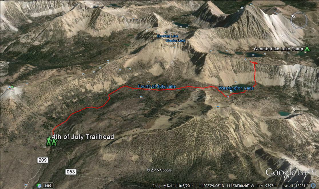
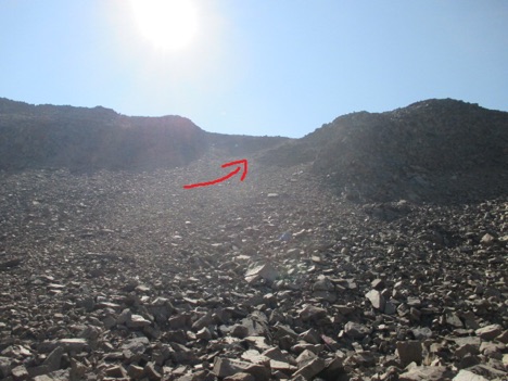
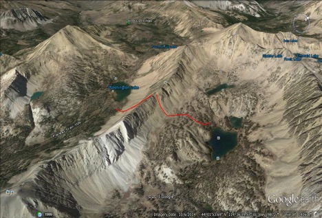
This approach route details the shortcut to Chamberlain Basin and Castle Peak that goes up through a notch in the ridgeline on the southeast side of Washington Lake called Chamberlain Col. Many refer to this route as the “Splattski Cutoff.” The approximate total distance is 3.6 miles from the 4th of July Trailhead to the east side of the ridge and Upper Chamberlain Basin. Elevation gain/loss is approximately 1,900/890 feet. The route reaches an elevation of 10,150 feet at the top of Chamberlain Col. These chutes are loose scree with an angle of 30-60 degrees. This route bypasses approximately 6 miles from Washington Lake to Upper Chamberlain Basin.
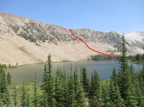
Use FST-109 [(A)(2)(a)] to access Washington Lake. Once at the lake, skirt around the WSW side to the south end of the lake. Cross to the east side of the outlet and head ENE toward the edge of the forest and the talus slope at the base of the ridge. Climb the talus up to the base of the prominent chute.
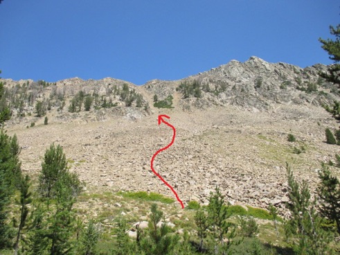
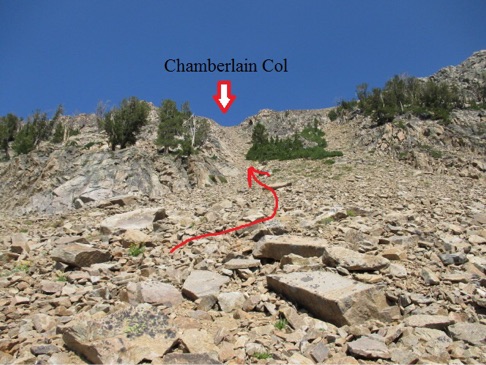
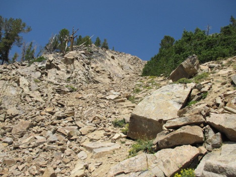
Climb the chute to the obvious Chamberlain Col. It is advisable to stick to the sides of the chute where the rock is generally more stable. Tom Cox Photo
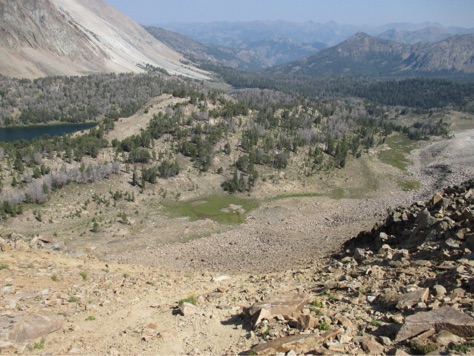
Looking east from Chamberlain Col.
Once you arrive at Chamberlain Col, your descent to the upper basin will vary, depending upon your objective. All of the lakes in Chamberlain Basin can be accessed from this route. There are faint climber’s trails on the east side that may provide guidance and more stable footing.
The route back to Washington Lake can be reversed by ascending the loose scree slopes of the east side back up to Chamberlain Col.
