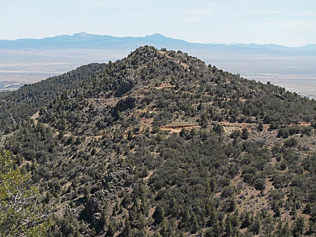
US-50 is a transcontinental highway in the United States, stretching from Ocean City, Maryland to Sacramento, California. Life Magazine designated it “The Loneliest Road in America” in July 1986 issue. The Nevada tourist adopted the moniker and have used it as a marketing slogan ever since. The highway crosses the Great Bain from east west crossing desert valleys and crossing some of the basin’s most impressive fault block mountain ranges via 17 named mountain passes. This highway follows a historic corridor first followed by the Pony Express. Between Delta, Utah and Fallon, Nevada there are only 3 towns, Ely (population 3,900), Eureka (population 414) and Austin (population 167). I think it is safe to say that there are more mountain peaks along the route than there are people.
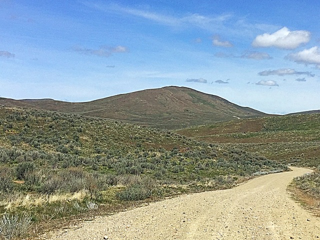
On May 2, 2017 Gilbert Gallegos and I drove south with a goal of climbing peaks along US-50 long know as the loneliest road in America. We took the most direct route to Eureka which took us through Mountain Home, Idaho, the Duck Valley Reservation, Mountain City, Nevada and Elko, Nevada. I always try to break up long drives with a climb. For this driving break I focused on an unnamed Peak 7048, 7,048/528, which is located northwest of Ely.
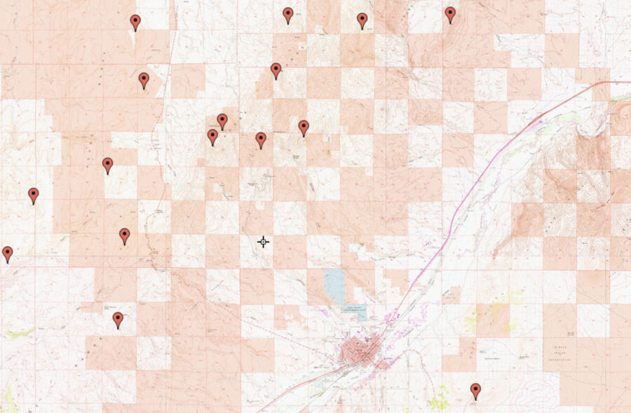
In the mid-1800s Congress passed a law designed to encourage railway construction and stimulate settlement in the western states. , offered railroad companies an incentive. The law provided that railroad companies would receive alternating square-mile sections square of land along their right of ways. The law intended that railroads would sell the land to settlers and use the proceeds to fund railroad construction. Instead, for the most point, the railroads used the land as collateral for loans that funded the construction.
As a result portions of the West are a checkerboard of public and private land. The intermingling of public and private land creates access issues creating lots of landlocked and inaccessible sections of public land users. Nevada has more than 2 kk million acres of public land acres of public landlocked land which is inaccessible. Since the northern railroad line passes just south of Peak 7048 it falls within the checkerboard pattern and access is never guaranteed. There are many attractive peaks which do not have public access or where public access is questionable. As a result I identified Peak 7048 as an objective that was completely on public land.
To climb this peak look for an unsigned graded road that leaves NV-225 southeast of the summit. (This road is 3.0 miles from the I-80 Elko/Exit 301 interchange.) Follow this road 4WD road. Turn onto this road and drive it a short distance as shown on the map. Park and hike the two track to the summit.
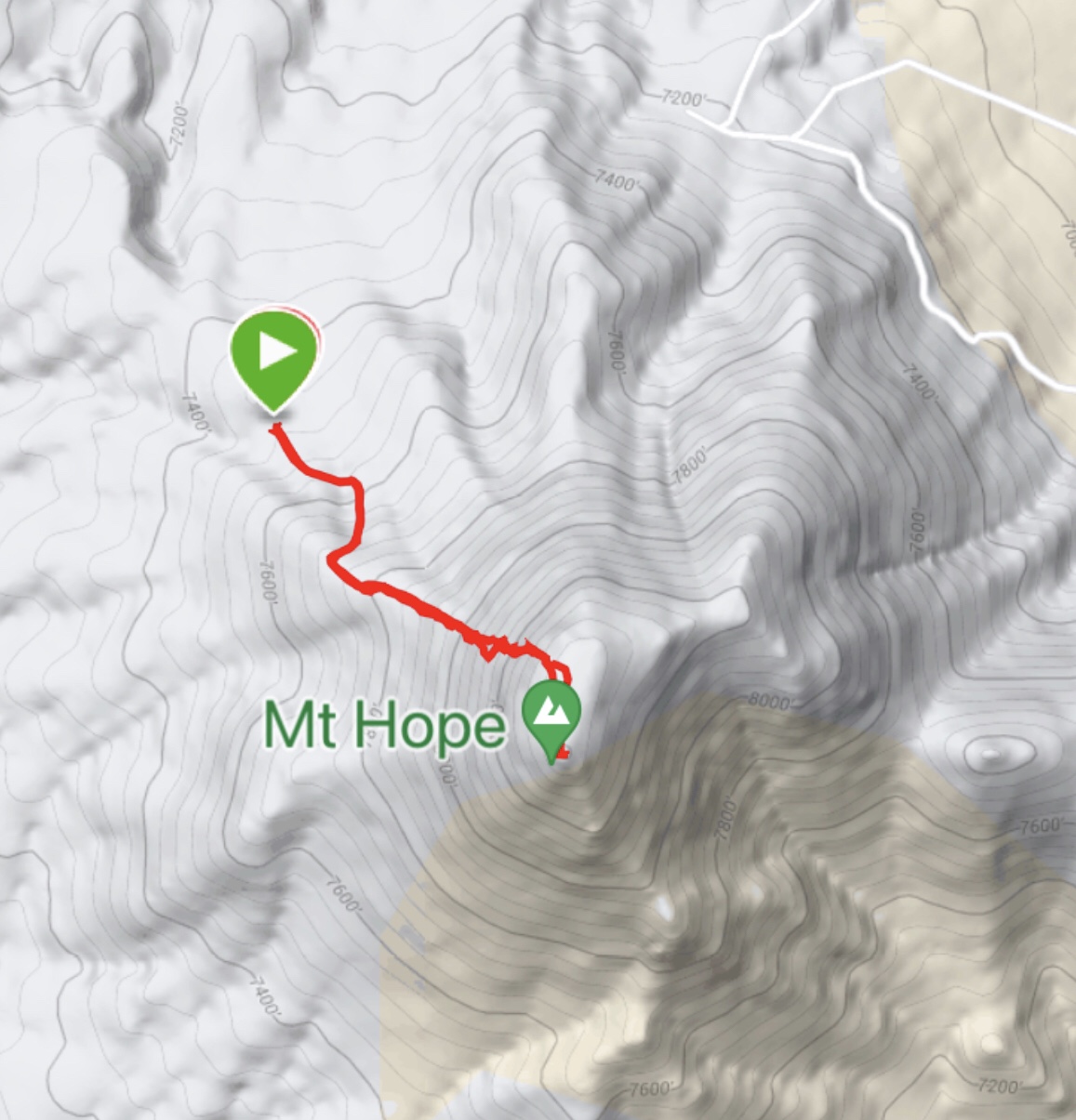
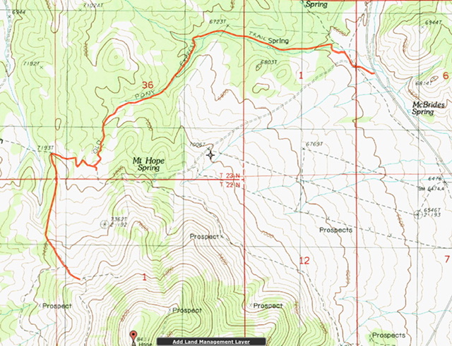
After the climb we fueled up in Elko and continued our drive to Eureka. Our first goal was Prospect Peak which rises up south of Eureka, Nevada. However, as we neared Eureka we spotted enticing Mount Hope, 8,412/1256. We decided to make it our second peak of the day. We accessed the peak Accessed from Hwy 278 (north of Eureka via the access road shown on the map and climbed the peak via its northern slopes.
Eureka is nestled in the northern end of the Fish Creek Range in the 1864 by prospectors who discovered rich mineral deposits in the surrounding mountains. Mining is still ongoing although much diminished from boom times. The Eurerka Opera House epwas built on 1880 and fully restored in 1995. Locals refer to Eureka as the “Friendliest Town on the Loneliest Road in America”. While there wasn’t much going on in Eureka to entice tourists we found a nice motel and a good Mexican restaurant.
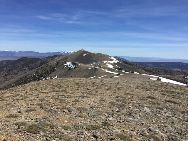
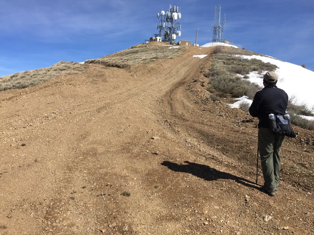
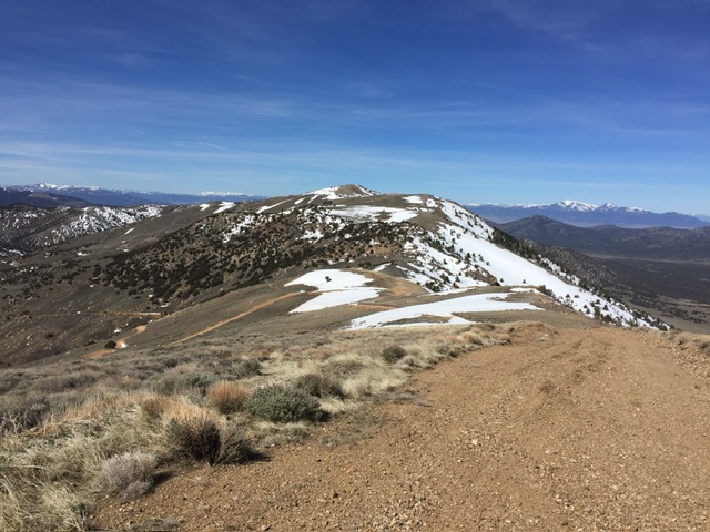
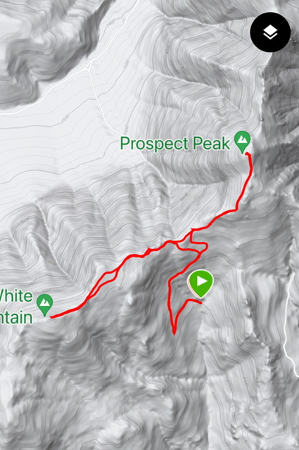
On May 3, 2017 we headed for Prospect Peak, 9,573/2313 and its neighbors White Mountain, 9,403/363. Prospect Peak is one of 171 peaks with over two thousand feet of prominence and as a result sees quite a few ascents. Additionally, because of his dominant prominence it serves as a busy hub for electronic communications installations. Although a road leads to its summit the road was still blocked by snowbanks when we approached the summit.
Gilbert and I hiked up the road crossing a few snowbanks along the way. The view from the top allowed us to survey the nearby peaks for potential ascents. The first of these was White Mountain which is located southwest of Prospect Peak on a connecting ridge. The walk was uneventful and after reaching the summit we returned to our truck.
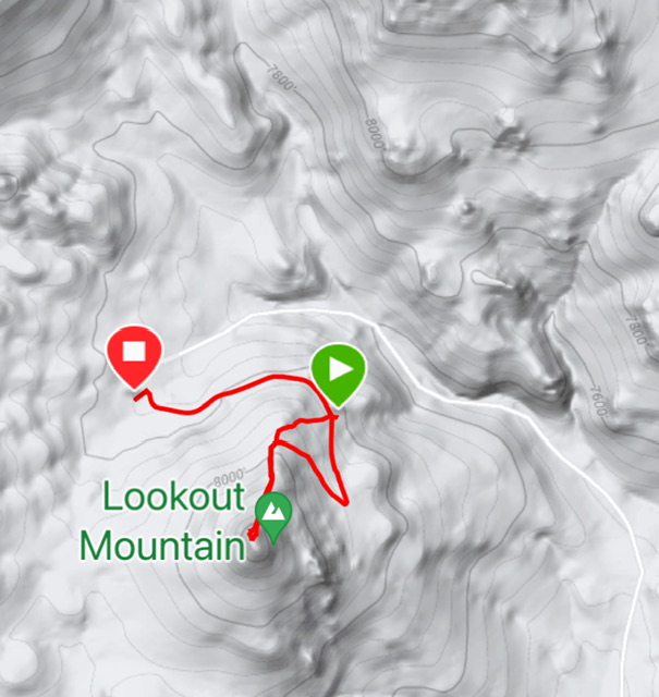
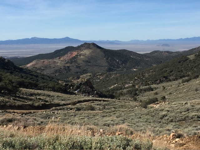
While on the summit of Prospect we picked out three additional climbs. After returning to the truck we drove to the base of Lookout Mountain, 8,251/331, and Peak 8200, 8,200/363. As you might have guessed due to the extensive mining activity in this area road access to most of the peaks is good for high clearance vehicles with good all terrain tires. We ate a quick lunch and then climbed these two side by side summits both via their north ridges.
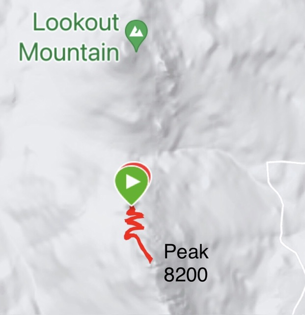
Thanks to the easy road access our route up this peak was a short 0.8 miles with around 200 feet of elevation gain round trip.
Our last peak for the day was Surprise Peak, 7,818/331, which is located southeast of Lookout Mountain. After we ascended it we returned to Eureka to enjoy more of the town’s hospitality.
On the morning of May 4, 2017 we were up early and drove west towards the Austin area. From this point we were in an exploratory mode as I had not planned on any specific peaks.
Driving across the expansive Kobeh valley we spotted Hickison Benchmark, 7,095/495, the last summit in the 71 mile long Toquim Range. We spotted a 4WD road leading up its northern slopes. We drove part way up the road and parked and hiked the remaining distance to the summit.
We continued on following US-50 as it skirted the southern end of the Simpson Park Range, crossed the Smoky Valley before staring its climb up to the northern crest of the Toiyabe Range which is over 120 miles long. The pass and a Forest Service campground are both named after Bob Scott. A 4WD road leaves the CG and heads mostly north toward Peak 8016, 8,016/296 and King Benchmark, 8,213/332. We drove a short way this road which quickly deteriorated and parked. From this point we hiked through juniper and pine forest to Peak 8016 and then continued on to King Benchmark.
Returning to the 4Runner we continued toward Austin. The road drops off of Bob Scott Summit and them quickly climbs to a second pass, Austin Summit which is just east of Austin. Parking at the pass we were enticed by Union Hill, 8,100/320, which is just south of the highway. A 4WD road climbed up toward the peak’s western slopes. The road was still blocked by snowdrifts. We hiked up to the summit where we had a great 360 degree view which was dominated by the view south where the northernmost Toiyabe Range 10ers glistened.
After the climb we drove down to and briefly explored Austin. The town is crowded into a steep canyon at the north end of the Toiyabe Range. Like Eureka Austin was founded by miners who arrived after Pony Express riders discovered silver. The inevitable mining boom that followed led to explosive growth and a population of over 10,000 people. There are roughly 300 residents which is market for tourist as a town as a living ghost town and aspirationally as a mountain biking Mecca. Then we continued on to Battle Mountain where we spent the evening.
We were due home May 5, 2017 so we left Battle Mountain early and headed toward Winnemucca, Nevada on I-80. There were ranked peaks on either side of the freeway at Golconda Summit. So, we exited the freeway and followed a good road north toward Peak 5450, 5,450/300. We nearly reached a hill top electronics site and then turned onto a rougher road which we drove to the much to do about nothing summit. Driving to a summit is seldom a rewarding experience.
On the south side of the freeway we headed toward Peak 6130, 6130/630. Although the topo maps leading to the summit these roads were for the most part deteriorating. We parked at some mining and walked the remaining distance to the summit.
Crossing into Oregon we decided to ascend High Peak, 6,460/681, which is located on the east side of US-93. This peak was once had an electronic installation on its summit and as a result a road of sorts led to the top. We drove this road infested with knee high vegetation across several steep switchbacks before parking and hiking the remaining distance.
Next: Day Tripping in the Oregon Owyhee Mountains 2017 – 2020
