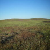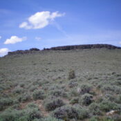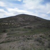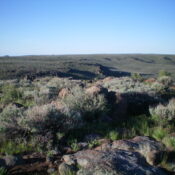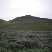
This peak is not in the book. Published November 2022 Smelter Butte is a minor butte that is located on the east side of FSR-134, just north of the Muldoon townsite and the junction of FSR-134 and FSR-126 at a private ranch entrance. This butte is on private land, though it is not fenced or posted. Please obtain permission from … Continue reading
Book Updates
This peak is not in the book. Published November 2022 Burnt Ridge is a rather unimpressive ridge that is located due north of Gopher Knoll and the King Hill Loop Road. It is just off I-84 and is east of the town of King Hill, Idaho. This is area is a mix of private and public land, so be careful. … Continue reading
This peak is not in the book. Published November 2022 Gopher Knoll is a small butte that is located just off I-84 and east of the town of King Hill. This is area is a mix of private and public land, so be careful. This hike is entirely on BLM land. Due to private land, Gopher Knoll is best climbed … Continue reading
This peak is not in the book. Published November 2022 Sugarloaf is a handsome butte that is located on the south side of the Rogerson-Jarbidge Highway. It is most easily climbed from the northeast. This area is a mix of private and public land, so be careful. While the summit is on private land (not fenced or posted), almost all … Continue reading
This peak is not in the book. Published November 2022 Peak 5961 is a double-humped summit that is located southwest of North Junipers HP. It can be most easily reached via ATV/Jeep roads (many of which are NOT shown on the USGS map) coming in from Grassy Ridge Road to the north. This is the second leg of a 2-peak … Continue reading
This peak is not in the book. Published November 2022 Crows Nest is located due east of Thorn Creek Reservoir in the Bennett Hills. It is a named summit. It is unclear how it got its name. It is overshadowed by its neighbor to the east, the Lincoln County HP (5,950 feet), which is only slightly higher and is almost … Continue reading