This peak is not in the book. Published November 2022 West Butte is located on BLM land. However, there is a lot of private land that surrounds it. It is possible to climb it from Egin Lakes to its southeast entirely on BLM land but it will be an arduous slog through sandy terrain on a very up-and-down route. It … Continue reading
Search Results for: a cl
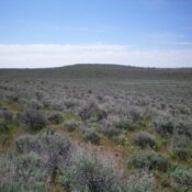
This peak is not in the book. This is a rather minor protuberance. It would be interesting to know the history behind the name of a hill with eight feet of prominence considering how many Idaho peaks are unnamed. Published November 2022 Wrangle Hill is located on the south side of Davis Mountain Road in the Bennett Hills. It is … Continue reading
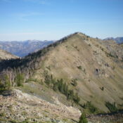
This peak is not in the book. Published November 2022 Peak 9780 sits on a long north-south ridgeline that separates Blaine County from Camas County. It is probably most easily climbed via a ridge traverse from Baker Lake to its south. Surprisingly, there is no climber’s trail from Baker Lake up to the prominent north-south ridge crest to help in … Continue reading
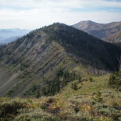
This peak is not in the book. Published November 2022 Peak 9745 sits directly north of Baker Lake. It is on a long, north-south ridgeline that separates Blaine County from Camas County. Peak 9745 is most easily climbed from Baker Lake via either its southeast ridge or southwest ridge. Surprisingly, there is no climber’s trail from Baker Lake up to … Continue reading
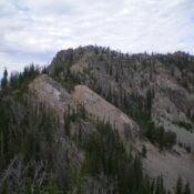
This peak is not in the book. Published November 2022 Peak 9335 is located just west of the main north-south Smoky Mountains Crest in Camas County. It sits at the head of Royal Gorge and the Bluff Creek drainage. Its south face is particularly rocky and rugged. The easiest way to climb Peak 9335 is from the [elusive] Royal Gorge … Continue reading
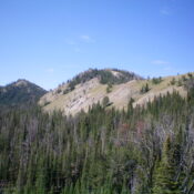
This peak is not in the book. Published November 2022 Peak 9615 is located on the main north-south Smoky Mountains crest about two miles south of Prairie Creek Peak (10,138 feet) and about two miles north of Baker Lake. It is most easily reached via trails on its east side from the Norton Lakes trailhead. USGS Baker Peak Access Same … Continue reading