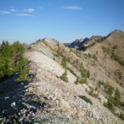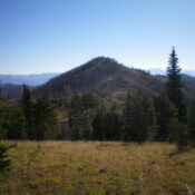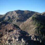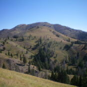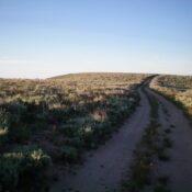
This peak is not in the book. Published November 2022 Peak 6420 is the high point on a ridge that runs south from Richardson Summit. It sits at the head of Black Cinder Gulch in the Hailey Gold Belt. Â USGS Richardson Summit Access From Richardson Summit (6,107 feet) on Croy Creek Road/Camp Creek Road. North Ridge, Class 1 The Climb … Continue reading
Search Results for: a cl
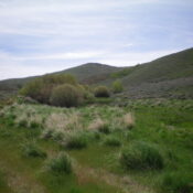
This peak is not in the book. Published November 2022 Peak 5773 is located east of Rock Creek Road in the Smoky Mountains above Smith Creek. This area is entirely private land. However, ACCESS YES allows hikers to climb this beautiful peak. I highly recommend it. USGS Bellevue Access From US-20, drive 4.1 miles up Rock Creek Road to an … Continue reading
This peak is not in the book. Published November 2022 Peak 9795 is located on a rugged ridgeline on the east side of Norton Creek. It is also a ridge corner, with the northeast ridge extending down into the Newman Creek drainage. The shortest route to the summit is via its steep southwest face from the Norton Creek Road. However, … Continue reading
This peak is not in the book. Published November 2022 Peak 9474 sits on a high ridgeline that overlooks the Baker Creek drainage. It is at the head of Alden Gulch. It is most easily climbed from the nearby Osberg Ridge Trail/FST-147. But there is no nearby trailhead, so an off-trail scramble is required for any feasible day hike of … Continue reading
This peak is not in the book. Published November 2022 Peak 9660 sits on a high ridgeline that overlooks the Baker Creek drainage. It is at the head of both Boyer Gulch and Badger Gulch. Peak 9660 is most easily reached from the Osberg Ridgeline Trail/FST-147. But it is a long hike on that trail from the nearest trailhead, so … Continue reading
This peak is not in the book. Published November 2022 Peak 9728 sits on a high ridgeline that overlooks the Baker Creek drainage. It is at the head of Cunard Gulch. Peak 9728 has a very rugged, rocky north face. It is most easily climbed from the nearby Osberg Ridgeline Trail/FST-147 and its south ridge. USGS Boyle Mountain Access From … Continue reading