PEALE MOUNTAINS

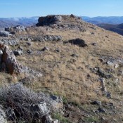
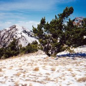
The Peale Mountains are associated with the Basin and Range faulting and the over thrust belt. The block faulting is not as pronounced as ranges farther west. Meade Peak is the range high point at 9,957 feet. There are a lot of great peaks in this mountain group. Check out Hawks Peak and Mount Mansfield for starters. The range receives … Continue reading
Peak 3668

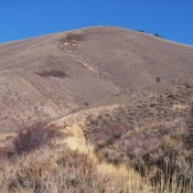
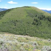
This peak is not in the book. Updated January 2020 Peak 3668 is located at the confluence of the South Fork and North Fork Payette River near Banks, Idaho. It is the southwestern point of the Salmon River Mountains and the North Fork Range. USGS Banks Access The Banks/Lowman Highway at its junction with of ID-55. Park in a pullout on the … Continue reading

Enoch Benchmark (Enoch Peak) by Livingston Douglas

This peak is not in the book. Rick Baugher provided the initial entry for this peak based on his 2013 ascent. Rick’s report is set out down the page. Livingston’s entry provides a significant update to current conditions which have changed significantly over the last ten years. Updated January 2023 Enoch Benchmark is the high point on Rasmussen Ridge. It … Continue reading

Peak 7550 (Goodheart Peak)

This peak is not in the book. USGS Dry Valley Rick Baugher’s trip report for this peak follows: “Goodheart Peak” (7,550 feet elevation) was about the only summit I’ve found on the Schmid Ridge to be unoccupied (of sorts). On 6/23/13, I pulled off the Slug Creek Road and parked just south of what shows as the Knudsen Ranch on … Continue reading

Aspen Range

The Aspen Range forms the westernmost section of the Peale Mountains. This subrange extends south from the Blackfoot River for 23 miles, ending at the range’s highest point, Harrington Peak. Sulphur Peak (8,302 feet) is the only other named peak in the range. The range is administered by the BLM in the north end (which also includes many private land … Continue reading

Peak 7150 (Fox Hills HP)

This peak is not in the book. Fox Hills is linked to the Wooley Range to the northeast. The upper Blackfoot River cuts its southwest side. There are 4 ranked peaks in the Fox Hills of Caribou County. The Fox Hills and its approaches are on private or leased land. Thus, you will need to secure permission to climb this … Continue reading