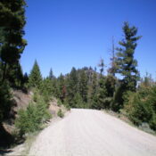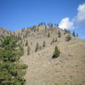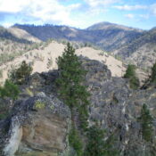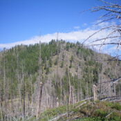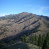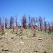
This peak is not in the book. Published November 2023 Wallace Peak is a double-humped summit that overlooks Wallace Lake in a burn area. It is most easily climbed from FSR-020/Ridge Road to its west. The rocky south summit is slightly higher than the gentler north summit. It is a mere 6-minute bushwhack to the summit from the road via … Continue reading