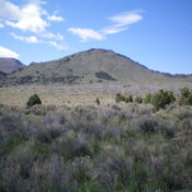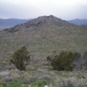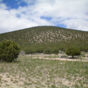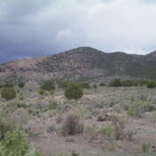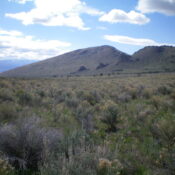
This peak is not in the book. Published January 2023 Peak 6822 towers over Emigrant Canyon to the north and is entirely on BLM land. This is the final leg of a 4-peak journey in the City of Rocks that includes Peak 6864, Peak 6888, Cedar Hills HP (7,434 feet), and Peak 6822. The journey covers 8.5 miles with 2,900 … Continue reading
Search Results for: a cl
This peak is not in the book. Published January 2023 Cedar Hills HP is a dominating, forested hump and is the high point of the Cedar Hills in the City of Rocks National Reserve. It has a notable 1,334 feet of prominence. Unlike some of its neighbors, the Cedar Hills HP is entirely on public land. This is the third … Continue reading
This peak is not in the book. Published January 2023 Peak 6888 is a pyramidal summit located on a ridgeline on the south side of Twin Sisters Road in the City of Rocks. This peak is on private land so please obtain permission from the landowner before completing this climb. This is the second leg of a 4-peak journey that … Continue reading
This peak is not in the book. Published January 2023 Peak 6864 is a double-humped summit on the south side of Twin Sisters Road in the City of Rocks. The west summit is the high point. This area is a mix of private and public land so please obtain permission from the landowner(s) if you plan to cross a section … Continue reading
This peak is not in the book. Published January 2023 Peak 6220 is a pyramidal hump located just above Sunny Cedar Rest Cemetery on the north side of Almo. This area is a mix of private and public land and this hike is almost entirely on BLM land, but it does cross a patch of private land at the cemetery. … Continue reading
This peak is not in the book. Published January 2023 Peak 5721 is the southernmost of the ranked Cotterel Mountains. It is located on the north side of ID-77 east of Connor. This area is a mix of private and public land. The only reasonable public access is via its southeast side and the base of Rice Spring Road. This … Continue reading