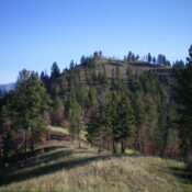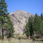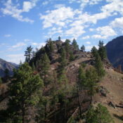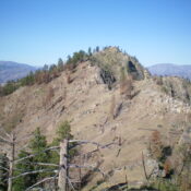
This peak is not in the book. Published November 2023 Panther Benchmark is the lowest, and farthest southwest, of three ranked summits on a high ridge that separates the Salmon River from Hot Springs Creek. It is most easily approached from FSR-060/Hot Springs Creek Road which was recently regraded extensively. USGS Pine Creek Rapids Access Same as for Peak 6667. … Continue reading
Search Results for: a cl
This peak is not in the book. Published November 2023 Peak 6514 is the middle of three ranked summits on a high ridge that separates the Salmon River from Hot Springs Creek. It is most easily approached from FSR-060/Hot Springs Creek Road which was recently regraded extensively. USGS Pine Creek Rapids Access Same as for Peak 6667. This is the … Continue reading
This peak is not in the book. Published November 2023 Peak 6667 is the high point on a lengthy northeast-to-southwest ridgeline that separates the Salmon River from Hot Springs Creek. It is most easily approached from FSR-060/Hot Springs Creek Road which was recently regraded extensively. USGS Pine Creek Rapids Access From US-93 at North Fork, drive 26 miles west on … Continue reading
This peak is not in the book. Published November 2023 Leacock Point is the high point on a north-south ridge that separates Quartz Gulch from Panther Creek. It is seldom climbed. Leacock Point is most easily accessed from Panther Creek Road to its east. USGS Jureano Mountain Access From US-93 at North Fork, drive 26 miles west on FSR-030/Salmon River … Continue reading
This peak is not in the book. The trail where Livingston’s climb started once led to the base of Point 7139 which met another trail that lead to the summit of this impressive summit. Trail maintenance in Idaho is on the upswing. So this trail may be maintained again at some point in the future. Published November 2023 Peak 7375 … Continue reading
This peak is not in the book. Published November 2023 Peak 4618 sits above the confluence of Panther Creek and the Salmon River in the Eastern Salmon River Mountains. It is most easily climbed from Pretty Gulch on its south side. USGS Bighorn Crags Access From US-93 at North Fork, drive 26 miles west on FSR-030/Salmon River Road to a … Continue reading